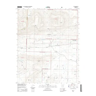
2014 Map of Hon
USGS Topo · Published 2014About this map
Poteau Mtn and Chalybeate Mtn anchor this high-relief landscape within the Ouachita National Forest in Scott County. The area is defined by the winding course of the Poteau River, which is supported by a series of water management sites including Poteau River Watershed Site Eight Lake and Poteau River Watershed Site 16 Lake. Small settlements like Hon, Bryan, and Winfield are connected by a network of rural routes such as W Ar 28 HWY and State Hwy 28, reflecting the enduring timber and agricultural character of the region.
Find a feature on this map
61 named features on this map. Tap any name to fly to it.
Don’t see what you’re looking for? This feature index may not catch every label — zoom into the map to look around manually.
Map Details
Editions of this 2014 Hon Map
This is the sole edition of this map. No revisions or reprints were ever made.
Other maps of this area

1879 · Poteau Mountain
USGS Topo · 1:62,500

1887 · Poteau Mountain #1
USGS Topo · 1:62,500

1887 · Poteau Mountain #2
USGS Topo · 1:62,500

1887 · Greenwood
USGS Topo · 1:62,500

1890 · Fort Smith
USGS Topo · 1:125,000

1890 · Poteau Mountain
USGS Topo · 1:125,000

1899 · Poteau Mountain
USGS Topo · 1:125,000

1906 · Barber
USGS Topo · 1:62,500

1939 · Waldron
USGS Topo · 1:62,500

1940 · Waldron
USGS Topo · 1:62,500