Old Maps of Evening Shade, Arkansas for Metal Detecting
Plan your next treasure hunt with 16 historic maps of Evening Shade. Find old homesites, ghost towns, trails, and gathering spots that may be lost to time — perfect for identifying promising metal detecting locations.
- Locate forgotten sites: Uncover places like long-lost settlements, abandoned rail lines, or gathering spots.
- Plan better hunts: Use map overlays combined with LiDAR or satellite views to narrow in on historically rich areas.
- Made for detectorists: Thousands of hobbyists use these maps to discover relics, coins, and hidden history.
Use these historic maps to boost your research and find new opportunities beneath the surface of Evening Shade.
Evening Shade, AR maps
(16)- 1957 Map of Poplar Bluff, 1968 Print
 1957 Poplar Bluff1968 Print · USGSThe Missouri-Arkansas border region is captured here as the timber and rail industries shaped the Ozark foothills. Genealogists and historians can trace the Missouri Pacific Railroad through river towns like Pocahontas, Greenville, and Van Buren.3 unique versions available
 - 1959 Map of Poplar Bluff
 1959 Poplar Bluff1959 Print · USGSThe Missouri Ozarks and Arkansas borderlands meet in this late 1950s study of the region's diverse terrain and rail-fed towns. Researchers can trace the path of the Missouri Pacific Railroad through Poplar Bluff or locate smaller settlements like Birch Tree and Myrtle.
 - 1960 Map of Poplar Bluff
 1960 Poplar Bluff1960 Print · USGSSoutheast Missouri and Northeast Arkansas are captured here during the post-war era, showing the transition from the Ozark highlands to the Delta. Genealogists and historians can trace rail corridors like the St. Louis Southwestern RR and remote settlements such as Birch Tree and Warm Springs.
 - 1961 Map of Evening Shade, 1963 Print
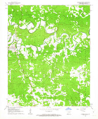 1961 Evening Shade1963 Print · USGSEvening Shade and the winding Strawberry River valley are captured in detail during the early sixties. Researchers can trace family history through local landmarks like Flatwoods Ch, Evening Shade Cem, and the riverfront Lafferty Springs.2 unique versions available
 - 1962 Map of Sidney, 1963 Print
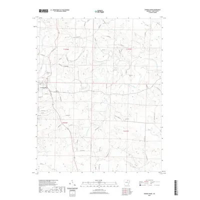
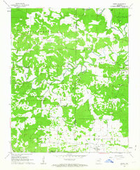 1962 Sidney1963 Print · USGSSharp and Izard counties meet in this early 1960s survey of the Arkansas foothills, where the Strawberry River and Piney Fork dictate the layout of the land. Researchers can locate community centers like Sidney, Antioch Ch, and the rural Schoolhouse.2 unique versions available
 - 1983 Map of Cherokee Village
 1983 Cherokee Village1983 Print · USGSThe Ozark foothills and river valleys of Northeast Arkansas are captured in the early eighties as modern planned communities began to reshape the landscape. Genealogists and historians can trace family-named ridges and schools across Evening Shade, Melbourne, and the rail junction at Hoxie.
 - 2011 Map of Evening Shade, 2011 Print
 2011 Evening Shade2011 Print · USGSCovers Evening Shade, including Sharp County, United States, and other nearby areas
 - 2011 Map of Sidney, 2011 Print
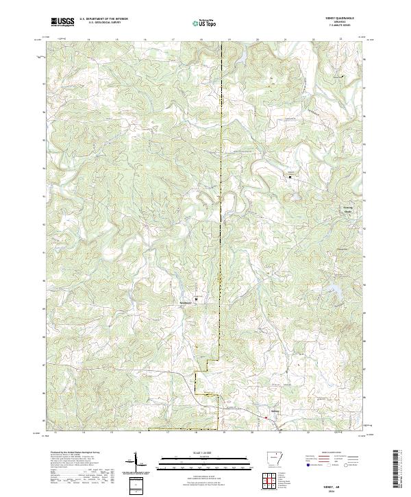
 2011 Sidney2011 Print · USGSCovers Evening Shade, including Sidney, Needmore, and other nearby areas
 - 2014 Map of Evening Shade, 2014 Print
 2014 Evening Shade2014 Print · USGSCovers Evening Shade, including Sharp County, United States, and other nearby areas
 - 2014 Map of Sidney, 2014 Print
 2014 Sidney2014 Print · USGSCovers Evening Shade, including Sidney, Needmore, and other nearby areas
 - 2017 Map of Sidney, 2017 Print
 2017 Sidney2017 Print · USGSCovers Evening Shade, including Sidney, Needmore, and other nearby areas
 - 2017 Map of Evening Shade, 2017 Print
 2017 Evening Shade2017 Print · USGSCovers Evening Shade, including Sharp County, United States, and other nearby areas
 - 2020 Map of Evening Shade, 2020 Print
 2020 Evening Shade2020 Print · USGSCovers Evening Shade, including Sharp County, United States, and other nearby areas
 - 2020 Map of Sidney, 2020 Print
 2020 Sidney2020 Print · USGSCovers Evening Shade, including Sidney, Needmore, and other nearby areas
 - 2024 Map of Sidney, 2024 Print
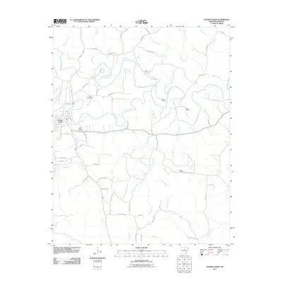
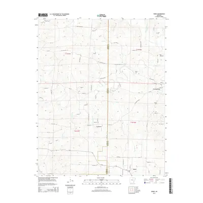
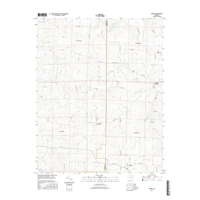
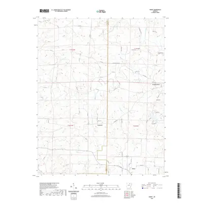
 2024 Sidney2024 Print · USGSSharp and Izard counties appear in recent detail at the edges of the Ozark foothills, centered on the community of Sidney. Researchers can locate old family burial sites like Schales Cem and trace the paths of Hamms Schoolhouse Branch and the Strawberry River.
 - 2024 Map of Evening Shade, 2024 Print
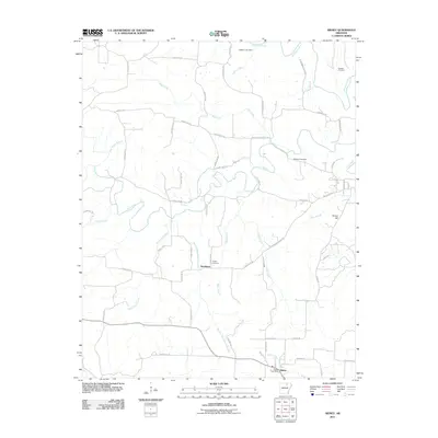
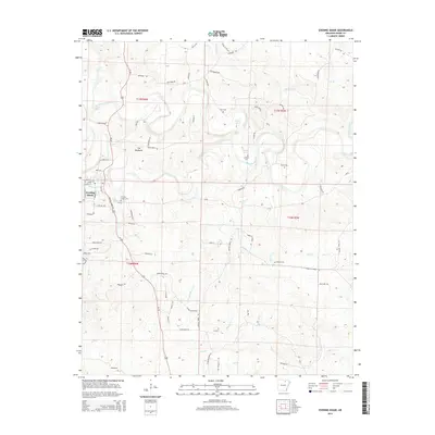
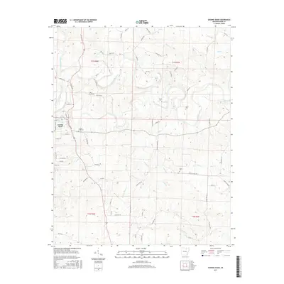
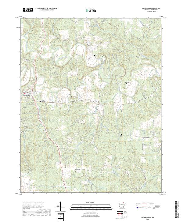 2024 Evening Shade2024 Print · USGSEvening Shade and the Strawberry River valley appear in contemporary detail, capturing the Ozark foothills' rural character. Researchers can locate ancestral sites at Evening Shade Cem or trace landmarks like The Backbone and Blue Hole.
End of results
Showing maps 1-16 of 16
Top cities near Evening Shade
- Cherokee Village historical maps
- Horseshoe Bend historical maps
- Cave City historical maps
- Melbourne historical maps
- Ash Flat historical maps
- Highland historical maps
See more
Frequently asked questions
- What are the different types of historical maps available for Evening Shade?
- What is the oldest map of Evening Shade?
- Where can I purchase historical maps of Evening Shade for my home or office?
- Where can I download high-res historical maps of Evening Shade?
- Are there historical topographic maps available for Evening Shade?
- Is there historical aerial imagery available for Evening Shade?
- Where are historical maps of Evening Shade sourced from?