2000s (21st Century) Maps of Evening Shade, Arkansas
Explore 10 historic maps of Evening Shade from the 2000s (21st Century). These maps offer a rare glimpse into what life looked like during the 2000s — showing old roads, neighborhoods, homes, and landmarks that have changed or disappeared over time.
Whether you're researching your family's past, planning a metal detecting trip, or studying how Evening Shade's landscape evolved across the 2000s, these high-resolution maps are a powerful tool for exploring the history of this region.
- Focus on a specific era: All maps on this page are from the 2000s, giving you a focused view of this time period.
- See what’s changed: Compare century-old streets, trails, and buildings to today's modern landscape using overlays and satellite layers.
- Research with precision: Use these maps for genealogy, historical research, land use analysis, or educational projects.
- View, download, or print: Maps are fully viewable online in high resolution, and can be downloaded or printed for your own records.
Start exploring Evening Shade's history through authentic maps from the 2000s. This is your window into the past.
Evening Shade, AR maps
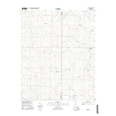
(10)- 2011 Map of Evening Shade, 2011 Print
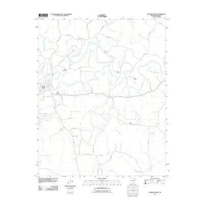 2011 Evening Shade2011 Print · USGSCovers Evening Shade, including Sharp County, United States, and other nearby areas
 - 2011 Map of Sidney, 2011 Print
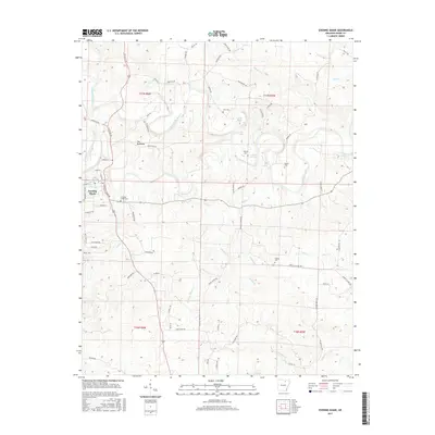
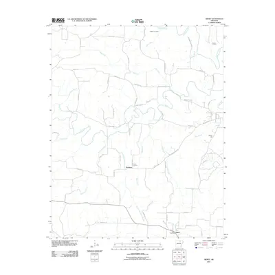 2011 Sidney2011 Print · USGSCovers Evening Shade, including Sidney, Needmore, and other nearby areas
 - 2014 Map of Evening Shade, 2014 Print
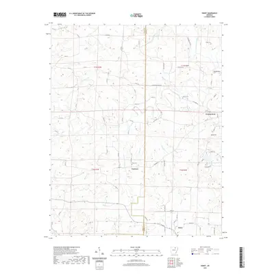
 2014 Evening Shade2014 Print · USGSCovers Evening Shade, including Sharp County, United States, and other nearby areas
 - 2014 Map of Sidney, 2014 Print
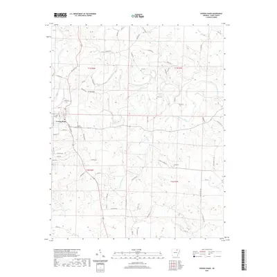
 2014 Sidney2014 Print · USGSCovers Evening Shade, including Sidney, Needmore, and other nearby areas
 - 2017 Map of Sidney, 2017 Print
 2017 Sidney2017 Print · USGSCovers Evening Shade, including Sidney, Needmore, and other nearby areas
 - 2017 Map of Evening Shade, 2017 Print
 2017 Evening Shade2017 Print · USGSCovers Evening Shade, including Sharp County, United States, and other nearby areas
 - 2020 Map of Evening Shade, 2020 Print
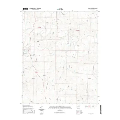
 2020 Evening Shade2020 Print · USGSCovers Evening Shade, including Sharp County, United States, and other nearby areas
 - 2020 Map of Sidney, 2020 Print
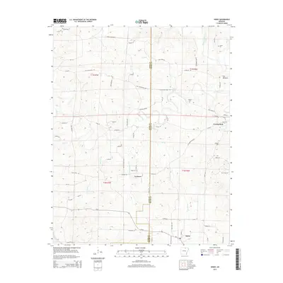
 2020 Sidney2020 Print · USGSCovers Evening Shade, including Sidney, Needmore, and other nearby areas
 - 2024 Map of Sidney, 2024 Print
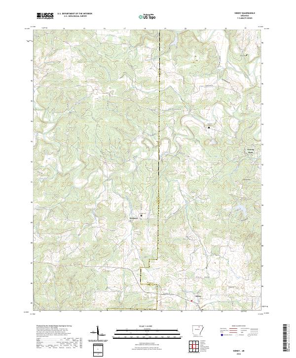 2024 Sidney2024 Print · USGSSharp and Izard counties appear in recent detail at the edges of the Ozark foothills, centered on the community of Sidney. Researchers can locate old family burial sites like Schales Cem and trace the paths of Hamms Schoolhouse Branch and the Strawberry River.
 - 2024 Map of Evening Shade, 2024 Print
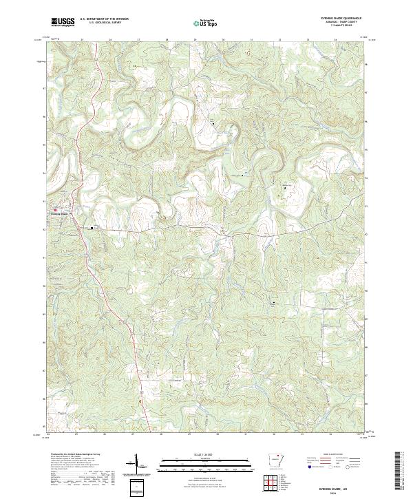 2024 Evening Shade2024 Print · USGSEvening Shade and the Strawberry River valley appear in contemporary detail, capturing the Ozark foothills' rural character. Researchers can locate ancestral sites at Evening Shade Cem or trace landmarks like The Backbone and Blue Hole.
End of results
Showing maps 1-10 of 10
Top cities near Evening Shade
- Cherokee Village historical maps
- Horseshoe Bend historical maps
- Cave City historical maps
- Melbourne historical maps
- Ash Flat historical maps
- Highland historical maps
See more
Frequently asked questions
- What are the different types of historical maps available for Evening Shade?
- What is the oldest map of Evening Shade?
- Where can I purchase historical maps of Evening Shade for my home or office?
- Where can I download high-res historical maps of Evening Shade?
- Are there historical topographic maps available for Evening Shade?
- Is there historical aerial imagery available for Evening Shade?
- Where are historical maps of Evening Shade sourced from?