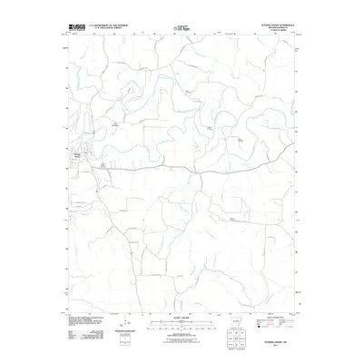
2011 Map of Evening Shade
USGS Topo · Published 2011About this map
Evening Shade serves as the primary settlement on this Arkansas landscape, situated where Town Branch meets the Strawberry River. The river winds across the northern half of the sheet, joined by tributaries like Piney Fork and Lave Creek. A distinctive topographic feature known as The Backbone rises just north of the town, illustrating the area's characteristic relief.
Find a feature on this map
68 named features on this map. Tap any name to fly to it.
Don’t see what you’re looking for? This feature index may not catch every label — zoom into the map to look around manually.
Map Details
Editions of this 2011 Evening Shade Map
This is the sole edition of this map. No revisions or reprints were ever made.
Other maps of this area

1890 · Batesville
USGS Topo · 1:125,000

1891 · Batesville
USGS Topo · 1:125,000

1932 · Strawberry
USGS Topo · 1:62,500

1935 · Strawberry
USGS Topo · 1:62,500

1941 · Strawberry
USGS Topo · 1:62,500

1943 · Sandtown
USGS Topo · 1:24,000

1943 · Cave City
USGS Topo · 1:31,680

1953 · Memphis
USGS Topo · 1:250,000

1956 · Memphis
USGS Topo · 1:250,000

1957 · Poplar Bluff
USGS Topo · 1:250,000