Old Maps of Madison, Arkansas for Metal Detecting
Plan your next treasure hunt with 21 historic maps of Madison. Find old homesites, ghost towns, trails, and gathering spots that may be lost to time — perfect for identifying promising metal detecting locations.
- Locate forgotten sites: Uncover places like long-lost settlements, abandoned rail lines, or gathering spots.
- Plan better hunts: Use map overlays combined with LiDAR or satellite views to narrow in on historically rich areas.
- Made for detectorists: Thousands of hobbyists use these maps to discover relics, coins, and hidden history.
Use these historic maps to boost your research and find new opportunities beneath the surface of Madison.
Madison, AR maps
(21)- 1939 Map of Wynne, 1941 Print
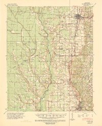 1939 Wynne1941 Print · USGSEastern Arkansas at the end of the thirties was a region defined by the L'Anguille River and a thriving network of small rail towns and rural parishes. Researchers can trace ancestral roots through dozens of local landmarks like Wick Mill, Smith Chapel, and Bible Union Sch.2 unique versions available
 - 1940 Map of Whitmore, 1942 Print
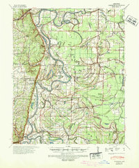 1940 Whitmore1942 Print · USGSSt. Francis County in the early 1940s shows a complex river-and-rail landscape shaped by the meanders of the St Francis River. Researchers can trace old family settlements and rural institutions like Wittsburg, the Church of Bethlehem, and Walters Cem.2 unique versions available
 - 1953 Map of Memphis, 1966 Print
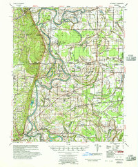
 1953 Memphis1966 Print · USGSEastern Arkansas and the Memphis riverfront are shown here during the mid-century period of regional growth and river management. Local historians can trace the paths of the Chicago Rock Island & Pacific RR through Forrest City or locate river landmarks like President's Island.3 unique versions available
 - 1956 Map of Memphis
 1956 Memphis1956 Print · USGSThe Mississippi Delta and the bluffs of West Tennessee meet in the mid-fifties, showing a landscape defined by massive river systems and rail hubs. Researchers can trace the path of Crowleys Ridge or locate vanished river landings near Centennial Island and Island No 35.
 - 1956 Map of Whitmore, 1957 Print
 1956 Whitmore1957 Print · USGSThe St. Francis River delta was a landscape of intricate oxbows and rural congregations in the mid-fifties. Genealogists can trace family roots at Shiloh Ch & Cem or Locust Grove Ch & Cem and locate vanished school sites like Reiff Sch.
 - 1958 Map of Wynne
 1958 Wynne1958 Print · USGSEastern Arkansas in the late fifties shows a landscape of vibrant rail towns and rural parishes between Wynne and Forrest City. Genealogists and historians can trace dozens of landmarks like Slonikers Mill, Cogbill Cem, and Hedge Providence Ch.2 unique versions available
 - 1958 Map of Forrest City, 1959 Print
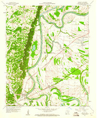
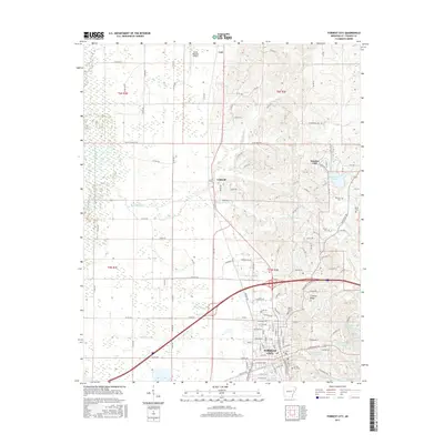
 1958 Forrest City1959 Print · USGSForrest City stands at the foot of Crowleys Ridge in the late fifties, where major rail lines converge amidst a landscape of river bottoms and upland gravel pits. Genealogists can trace rural family roots through landmarks like Poplar Grove Cem, Hogan Chapel, and the Lincoln High Sch.2 unique versions available
 - 1960 Map of Madison
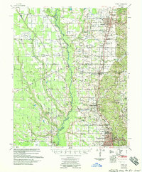
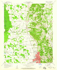
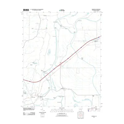
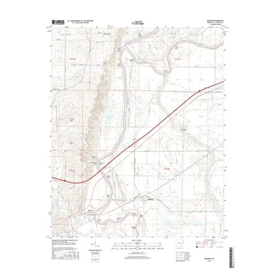
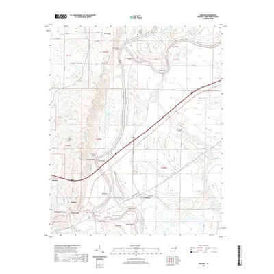
 1960 Madison1960 Print · USGSEastern Arkansas at the dawn of the sixties shows a landscape shaped by the ridge and the river's winding oxbows. Genealogists can trace family names at Dorriss Cem and New Hebron Cem or locate old community hubs like Wynne Chapel.3 unique versions available
 - 1960 Map of Whitmore, 1966 Print
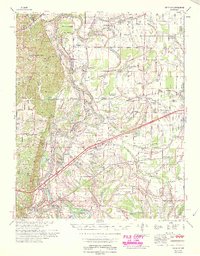
 1960 Whitmore1966 Print · USGSIn the Arkansas delta during the early sixties, the river loops and rail lines shaped every community. Genealogists can trace family landmarks like Wittsburg Cem, Newcastle, and rural schools such as Campbell Sch near the Missouri Pacific RR.
 - 1965 Map of Whitmore
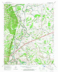
 1965 Whitmore1965 Print · USGSEastern Arkansas at the mid-century reveals a landscape shaped by the St Francis River and the high ground of Crowley s Ridge. Researchers can trace the heritage of rural communities through dozens of landmarks like Wittsburg Cemetery, Harris Chapel, and Campbell Sch.
 - 1986 Map of Memphis West
 1986 Memphis West1986 Print · USGSThe Mississippi River delta and the rise of Crowleys Ridge define this mid-1980s look at the Mid-South. Researchers can trace the development of West Memphis and Marion or locate landmarks like Crittenden Mem Cem and Village Creek State Park.2 unique versions available
 - 2011 Map of Madison, 2011 Print
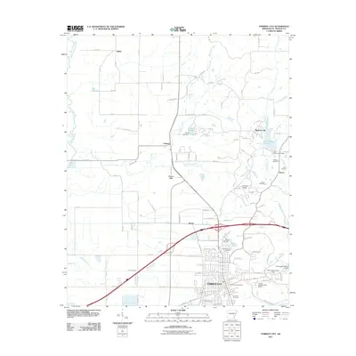
 2011 Madison2011 Print · USGSCovers Madison, including Forrest City, Widener, and other nearby areas
 - 2011 Map of Forrest City, 2011 Print
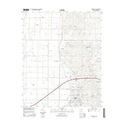
 2011 Forrest City2011 Print · USGSCovers Madison, including Forrest City, Caldwell, and other nearby areas
 - 2014 Map of Forrest City, 2014 Print
 2014 Forrest City2014 Print · USGSCovers Madison, including Forrest City, Caldwell, and other nearby areas
 - 2014 Map of Madison, 2014 Print
 2014 Madison2014 Print · USGSCovers Madison, including Forrest City, Widener, and other nearby areas
 - 2017 Map of Madison, 2017 Print
 2017 Madison2017 Print · USGSCovers Madison, including Forrest City, Widener, and other nearby areas
 - 2017 Map of Forrest City, 2017 Print
 2017 Forrest City2017 Print · USGSCovers Madison, including Forrest City, Caldwell, and other nearby areas
 - 2020 Map of Forrest City, 2020 Print
 2020 Forrest City2020 Print · USGSCovers Madison, including Forrest City, Caldwell, and other nearby areas
 - 2020 Map of Madison, 2020 Print
 2020 Madison2020 Print · USGSCovers Madison, including Forrest City, Widener, and other nearby areas
 - 2024 Map of Madison, 2024 Print
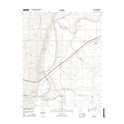
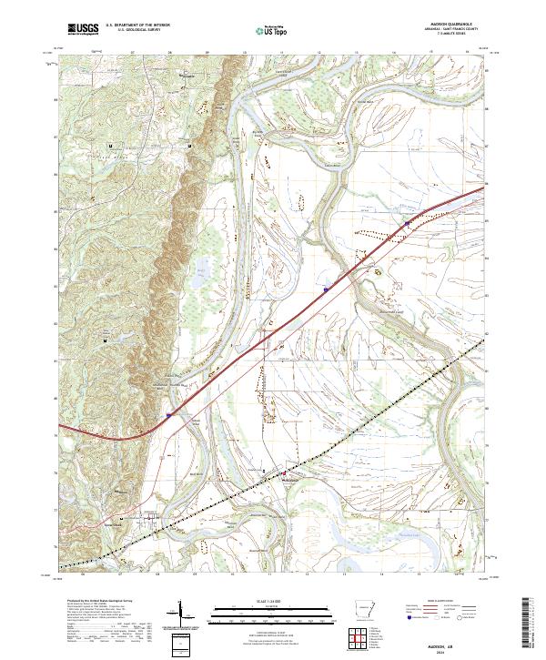 2024 Madison2024 Print · USGSThe alluvial plains and prominent bluffs of St. Francis County come into focus during the early twenty-first century. Researchers can trace historic river crossings and rural communities like Madison and Widener, or locate local family landmarks such as Dorris Cem and Scott-Bond Cem.
 - 2024 Map of Forrest City, 2024 Print
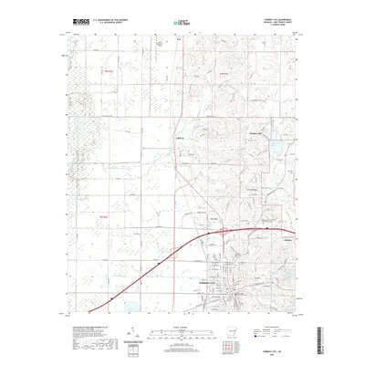
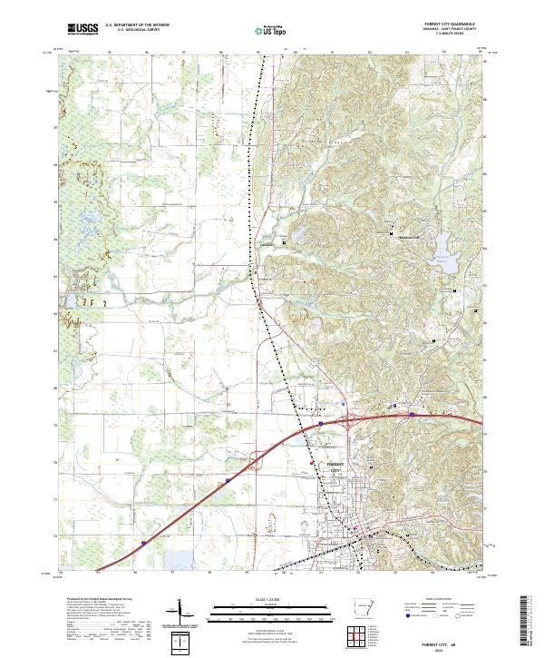 2024 Forrest City2024 Print · USGSForrest City and the surrounding St. Francis County landscape are shown here as they appeared in the early 2020s. Researchers can locate local landmarks like the Saint Francis County Courthouse, Lake Saint Francis, and many historic burial sites including Beazley Family Cem.
End of results
Showing maps 1-21 of 21
Top cities near Madison
- Forrest City historical maps
- Wynne historical maps
- Parkin historical maps
- Palestine historical maps
- Caldwell historical maps
- Colt historical maps
See more
Top neighborhoods of Madison
Frequently asked questions
- What are the different types of historical maps available for Madison?
- What is the oldest map of Madison?
- Where can I purchase historical maps of Madison for my home or office?
- Where can I download high-res historical maps of Madison?
- Are there historical topographic maps available for Madison?
- Is there historical aerial imagery available for Madison?
- Where are historical maps of Madison sourced from?