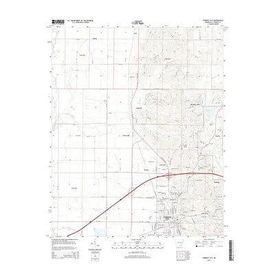
2014 Map of Forrest City
USGS Topo · Published 2014About this map
Forrest City serves as the focal point of this St. Francis County landscape, where the flat alluvial plains meet the distinct elevation of Crowley Ridge. This geologic formation provides a unique rise in the terrain, separating the western drainage of the L'Anguille River and its tributaries like Spybuck Cr from the eastern lowlands toward Madison and the Lake Saint Francis area. The map documents a dense network of county roads (SFC) and highways that connect several established communities, including Caldwell, Colt, and Shiloh. Local history is preserved in the numerous burial grounds and spiritual centers across the quadrangle, from the Mt Vernon Ch and Forrest City Cem to smaller family sites like Beazley Cem and Harris Cem. The inclusion of the E Arkansas Community Coll campus and water bodies like Hickey Lake illustrates the modern development and educational infrastructure integrated into this classic Delta-region landscape.
Find a feature on this map
184 named features on this map. Tap any name to fly to it.
Don’t see what you’re looking for? This feature index may not catch every label — zoom into the map to look around manually.
Map Details
Editions of this 2014 Forrest City Map
This is the sole edition of this map. No revisions or reprints were ever made.
Other maps of this area

1939 · Park Place
USGS Topo · 1:62,500

1939 · Wynne
USGS Topo · 1:62,500

1940 · Whitmore
USGS Topo · 1:62,500

1940 · Marianna
USGS Topo · 1:62,500

1948 · Helena
USGS Topo · 1:250,000

1950 · Helena
USGS Topo · 1:250,000

1953 · Memphis
USGS Topo · 1:250,000

1955 · Park Place
USGS Topo · 1:62,500

1955 · Helena
USGS Topo · 1:250,000

1956 · Memphis
USGS Topo · 1:250,000