2000s (21st Century) Maps of Union County, Arkansas
Explore 131 historic maps of Union County from the 2000s (21st Century). These maps offer a rare glimpse into what life looked like during the 2000s — showing old roads, neighborhoods, homes, and landmarks that have changed or disappeared over time.
Whether you're researching your family's past, planning a metal detecting trip, or studying how Union County's landscape evolved across the 2000s, these high-resolution maps are a powerful tool for exploring the history of this region.
- Focus on a specific era: All maps on this page are from the 2000s, giving you a focused view of this time period.
- See what’s changed: Compare century-old streets, trails, and buildings to today's modern landscape using overlays and satellite layers.
- Research with precision: Use these maps for genealogy, historical research, land use analysis, or educational projects.
- View, download, or print: Maps are fully viewable online in high resolution, and can be downloaded or printed for your own records.
Start exploring Union County's history through authentic maps from the 2000s. This is your window into the past.
Union County, AR maps
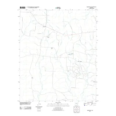
(131)- 2011 Map of Louann, 2011 Print
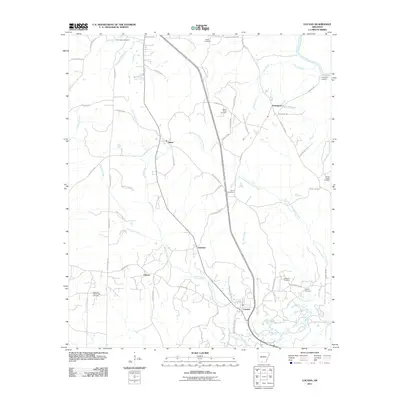 2011 Louann2011 Print · USGSCovers Union County, including Louann, Kirkland, and other nearby areas
 - 2011 Map of New London, 2011 Print
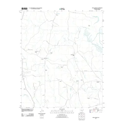 2011 New London2011 Print · USGSCovers Union County, including Sawmill, New London, and other nearby areas
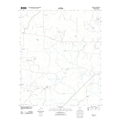
 - 2011 Map of Wesson, 2011 Print
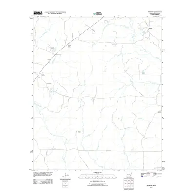 2011 Wesson2011 Print · USGSCovers Union County, including Wesson, Three Creeks, and other nearby areas
 - 2011 Map of Harrell Brake, 2011 Print
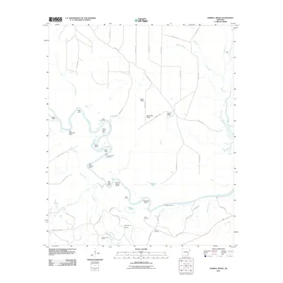 2011 Harrell Brake2011 Print · USGSCovers Union County, including Calhoun County, Bradley County, and other nearby areas
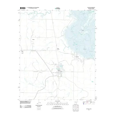
 - 2011 Map of Mount Holly, 2011 Print
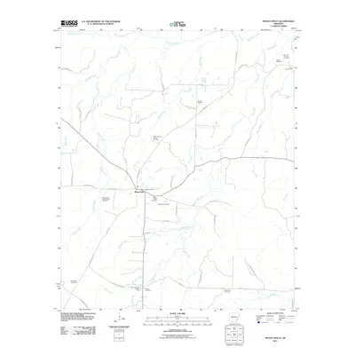 2011 Mount Holly2011 Print · USGSCovers Union County, including Mount Holly, Ouachita County, and other nearby areas
 - 2011 Map of Lockhart, 2011 Print
 2011 Lockhart2011 Print · USGSCovers Union County, including Lockhart, Pleasant Grove, and other nearby areas
 - 2011 Map of Newell, 2011 Print
 2011 Newell2011 Print · USGSCovers Union County, including Cairo, Griffin, and other nearby areas
 - 2011 Map of Marsden, 2011 Print
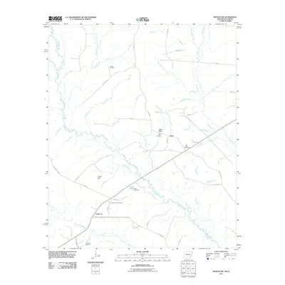
 2011 Marsden2011 Print · USGSCovers Union County, including Marsden, Bradley County, and other nearby areas
 - 2011 Map of Marais Saline, 2011 Print
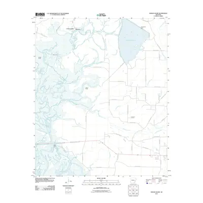 2011 Marais Saline2011 Print · USGSCovers Union County, including Blanchton, Godfrey Landing, and other nearby areas
 - 2011 Map of El Dorado East, 2011 Print
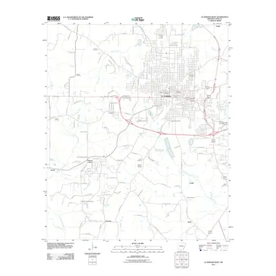
 2011 El Dorado East2011 Print · USGSCovers Union County, including El Dorado, Kinard, and other nearby areas
 - 2011 Map of New Union, 2011 Print
 2011 New Union2011 Print · USGSCovers Union County, including New Union, Ashley County, and other nearby areas
 - 2011 Map of Felsenthal Dam, 2011 Print
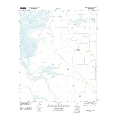 2011 Felsenthal Dam2011 Print · USGSCovers Union County, including Venice, Sulphur Springs, and other nearby areas
 - 2011 Map of Marysville, 2011 Print
 2011 Marysville2011 Print · USGSCovers Union County, including Marysville, Shuler, and other nearby areas
 - 2011 Map of Snow Hill, 2011 Print
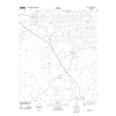
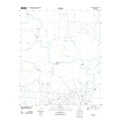 2011 Snow Hill2011 Print · USGSCovers Union County, including Smackover, Millers Bluff, and other nearby areas
 - 2011 Map of Smackover, 2011 Print
 2011 Smackover2011 Print · USGSCovers Union County, including El Dorado, Smackover, and other nearby areas
 - 2011 Map of Lisbon, 2011 Print
 2011 Lisbon2011 Print · USGSCovers Union County, including Smackover, Dumas City, and other nearby areas
 - 2011 Map of El Dorado West, 2011 Print
 2011 El Dorado West2011 Print · USGSCovers Union County, including El Dorado, Cargile, and other nearby areas
 - 2011 Map of Wesson SW, 2011 Print
 2011 Wesson SW2011 Print · USGSCovers Union County, including Dodge City, New Hope, and other nearby areas
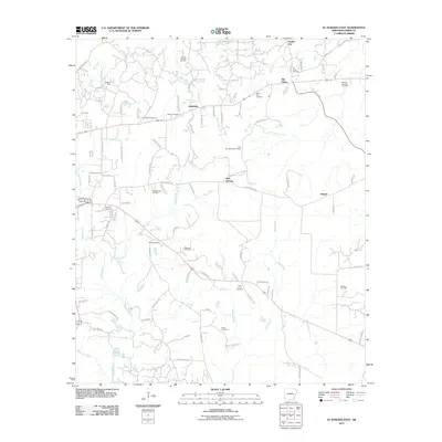
 - 2011 Map of Junction City, 2011 Print
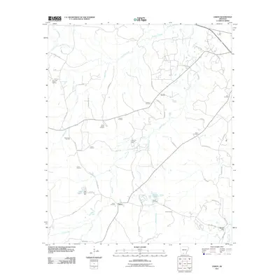
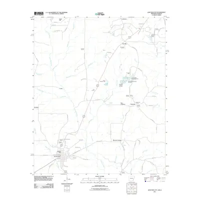 2011 Junction City2011 Print · USGSCovers Union County, including Junction City, Junction City, and other nearby areas
 - 2011 Map of Calion, 2011 Print
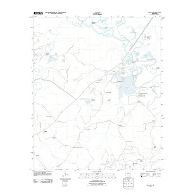 2011 Calion2011 Print · USGSCovers Union County, including Calion, Ritchie, and other nearby areas
 - 2011 Map of Strong, 2011 Print
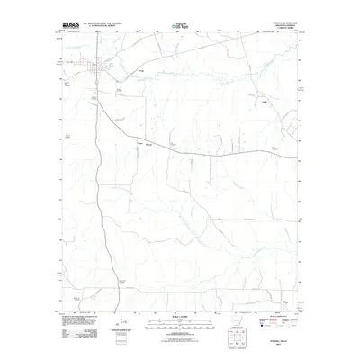 2011 Strong2011 Print · USGSCovers Union County, including Strong, Lapile, and other nearby areas
 - 2011 Map of Gardner, 2011 Print
 2011 Gardner2011 Print · USGSCovers Union County, including Aurelle, Gardner, and other nearby areas
 - 2011 Map of Urbana, 2011 Print
 2011 Urbana2011 Print · USGSCovers Union County, including Lawson, Payne, and other nearby areas
 - 2011 Map of Huttig, 2011 Print
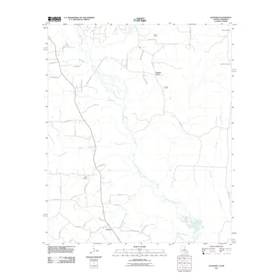
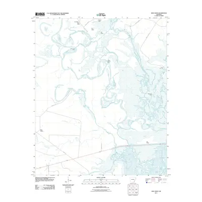
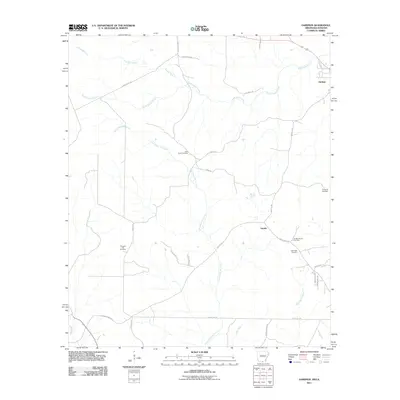
 2011 Huttig2011 Print · USGSCovers Union County, including Huttig, Felsenthal, and other nearby areas
 - 2011 Map of Moro Bay, 2011 Print
 2011 Moro Bay2011 Print · USGSCovers Union County, including Moro Bay, Careyville Landing, and other nearby areas
Showing maps 1-25 of 131
Top cities of Union County
- El Dorado historical maps
- Smackover historical maps
- Norphlet historical maps
- Huttig historical maps
- Strong historical maps
- Junction City historical maps
See more
Frequently asked questions
- What are the different types of historical maps available for Union County?
- What is the oldest map of Union County?
- Where can I purchase historical maps of Union County for my home or office?
- Where can I download high-res historical maps of Union County?
- Are there historical topographic maps available for Union County?
- Is there historical aerial imagery available for Union County?
- Where are historical maps of Union County sourced from?