2020s Maps of Fairfield Bay, Arkansas
Explore 8 historic maps of Fairfield Bay from the 2020s. These maps offer a rare glimpse into what life looked like during the 2020s — showing old roads, neighborhoods, homes, and landmarks that have changed or disappeared over time.
Whether you're researching your family's past, planning a metal detecting trip, or studying how Fairfield Bay's landscape evolved across the 2020s, these high-resolution maps are a powerful tool for exploring the history of this region.
- Focus on a specific era: All maps on this page are from the 2020s, giving you a focused view of this time period.
- See what’s changed: Compare century-old streets, trails, and buildings to today's modern landscape using overlays and satellite layers.
- Research with precision: Use these maps for genealogy, historical research, land use analysis, or educational projects.
- View, download, or print: Maps are fully viewable online in high resolution, and can be downloaded or printed for your own records.
Start exploring Fairfield Bay's history through authentic maps from the 2020s. This is your window into the past.
Fairfield Bay, AR maps
(8)- 2020 Map of Fairfield Bay, 2020 Print
 2020 Fairfield Bay2020 Print · USGSCovers Fairfield Bay, including Choctaw Pines, Eglantine, and other nearby areas
 - 2020 Map of Shirley, 2020 Print
 2020 Shirley2020 Print · USGSCovers Fairfield Bay, including Shirley, Lydalisk, and other nearby areas
 - 2020 Map of Parma, 2020 Print
 2020 Parma2020 Print · USGSCovers Fairfield Bay, including Sunny Slope, Sandiff, and other nearby areas
 - 2020 Map of Greers Ferry, 2020 Print
 2020 Greers Ferry2020 Print · USGSCovers Fairfield Bay, including Greers Ferry, Higden, and other nearby areas
 - 2024 Map of Shirley, 2024 Print
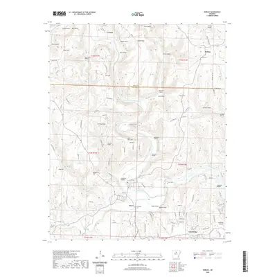
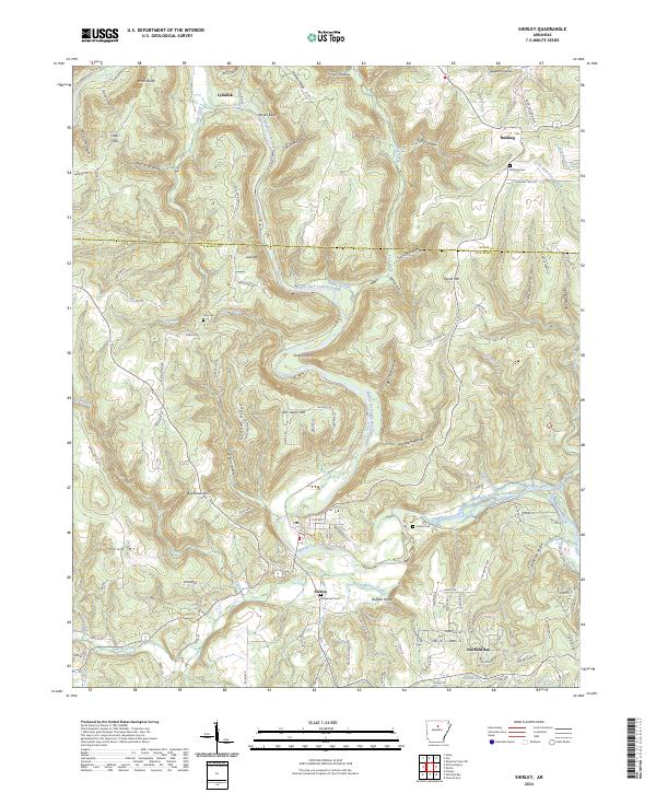 2024 Shirley2024 Print · USGSShirley and the Ozark foothills of Van Buren County are shown in detail during the early 2020s. Genealogists and local historians can trace family roots through several landmarks and burial sites, including Rushing Cem, Lute Cem, and Bud Brown Hill.
 - 2024 Map of Parma, 2024 Print
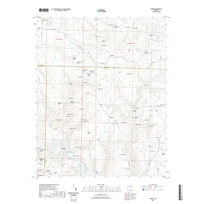
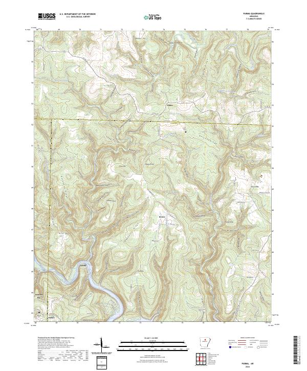 2024 Parma2024 Print · USGSIn the central Ozark foothills during the early twenty-first century, this area shows a transition between small rural hamlets and the growing residential development of the southwest. Genealogists can locate family landmarks like Smart Cem or the Davis Special Cem near the historic settlements of Parma and Brewer.
 - 2024 Map of Fairfield Bay, 2024 Print
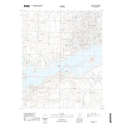
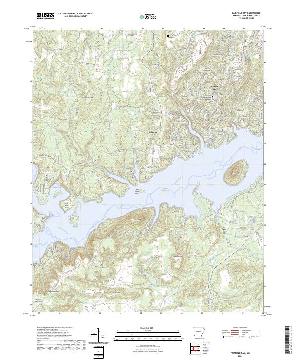 2024 Fairfield Bay2024 Print · USGSFairfield Bay and the shores of Greers Ferry Lake are mapped here in the modern era as they intertwine with the Ozark peaks. Genealogists and hikers can locate Eglantine Cemetery, trace the trails around Sugar Loaf Mountain, or explore the winding coves of Harpers Cove.
 - 2024 Map of Greers Ferry, 2024 Print
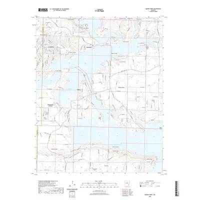
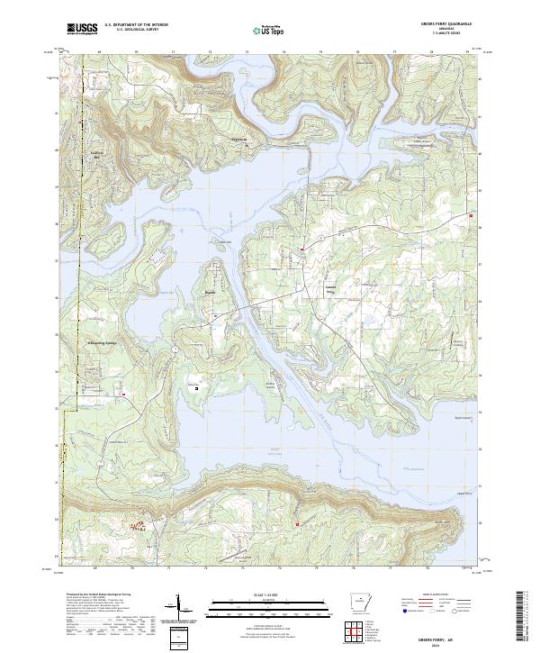 2024 Greers Ferry2024 Print · USGSThe Greers Ferry Lake region in the twenty-first century is a landscape defined by the impounded waters of the Little Red River. Researchers can trace the development of lakeside communities from Fairfield Bay to Higden and find local landmarks like Verser's Landing.
End of results
Showing maps 1-8 of 8
Top cities near Fairfield Bay
- Heber Springs historical maps
- Mountain View historical maps
- Clinton historical maps
- Greers Ferry historical maps
- Quitman historical maps
- Shirley historical maps
See more
Frequently asked questions
- What are the different types of historical maps available for Fairfield Bay?
- What is the oldest map of Fairfield Bay?
- Where can I purchase historical maps of Fairfield Bay for my home or office?
- Where can I download high-res historical maps of Fairfield Bay?
- Are there historical topographic maps available for Fairfield Bay?
- Is there historical aerial imagery available for Fairfield Bay?
- Where are historical maps of Fairfield Bay sourced from?