2000s (21st Century) Maps of Elkins, Arkansas
Explore 10 historic maps of Elkins from the 2000s (21st Century). These maps offer a rare glimpse into what life looked like during the 2000s — showing old roads, neighborhoods, homes, and landmarks that have changed or disappeared over time.
Whether you're researching your family's past, planning a metal detecting trip, or studying how Elkins's landscape evolved across the 2000s, these high-resolution maps are a powerful tool for exploring the history of this region.
- Focus on a specific era: All maps on this page are from the 2000s, giving you a focused view of this time period.
- See what’s changed: Compare century-old streets, trails, and buildings to today's modern landscape using overlays and satellite layers.
- Research with precision: Use these maps for genealogy, historical research, land use analysis, or educational projects.
- View, download, or print: Maps are fully viewable online in high resolution, and can be downloaded or printed for your own records.
Start exploring Elkins's history through authentic maps from the 2000s. This is your window into the past.
Elkins, AR maps
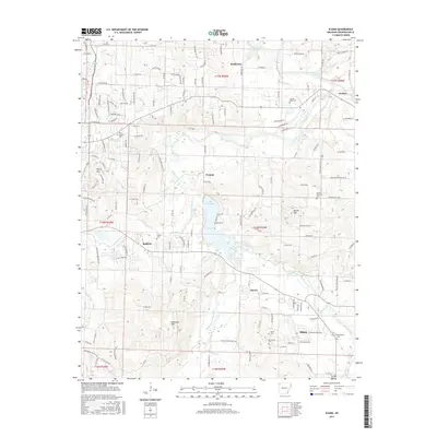
(10)- 2011 Map of Elkins, 2011 Print
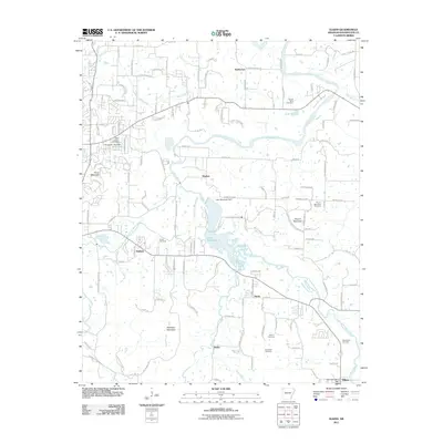 2011 Elkins2011 Print · USGSCovers Elkins, including Fayetteville, Goshen, and other nearby areas
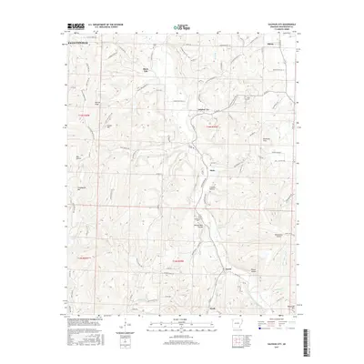
 - 2011 Map of Sulphur City, 2011 Print
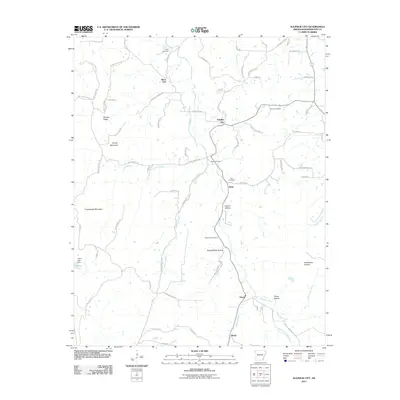 2011 Sulphur City2011 Print · USGSCovers Elkins, including Fayetteville, Hicks, and other nearby areas
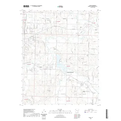
 - 2014 Map of Elkins, 2014 Print
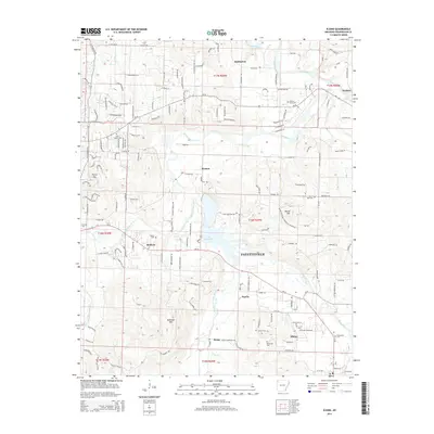 2014 Elkins2014 Print · USGSCovers Elkins, including Fayetteville, Goshen, and other nearby areas
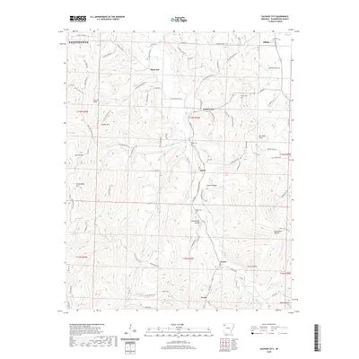
 - 2014 Map of Sulphur City, 2014 Print
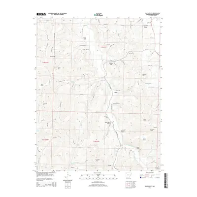 2014 Sulphur City2014 Print · USGSCovers Elkins, including Fayetteville, Hicks, and other nearby areas
 - 2017 Map of Elkins, 2017 Print
 2017 Elkins2017 Print · USGSCovers Elkins, including Fayetteville, Goshen, and other nearby areas
 - 2017 Map of Sulphur City, 2017 Print
 2017 Sulphur City2017 Print · USGSCovers Elkins, including Fayetteville, Hicks, and other nearby areas
 - 2020 Map of Elkins, 2020 Print
 2020 Elkins2020 Print · USGSCovers Elkins, including Fayetteville, Goshen, and other nearby areas
 - 2020 Map of Sulphur City, 2020 Print
 2020 Sulphur City2020 Print · USGSCovers Elkins, including Fayetteville, Hicks, and other nearby areas
 - 2024 Map of Elkins, 2024 Print
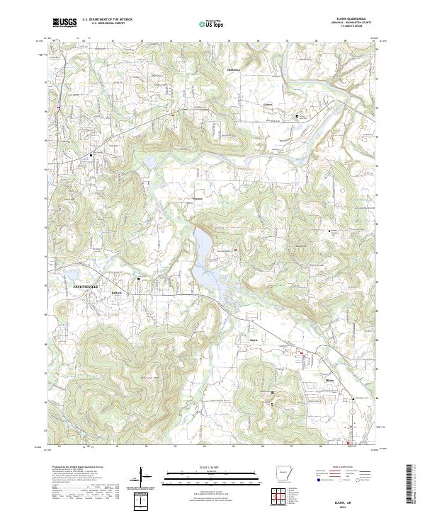 2024 Elkins2024 Print · USGSThe forks of the White River converge in Washington County in the 2020s, anchoring rural communities and high ridges. Family historians can trace ancestral sites at Stokenbury Cem, Hester Cem, and the historic Old Wire Rd corridor.
 - 2024 Map of Sulphur City, 2024 Print
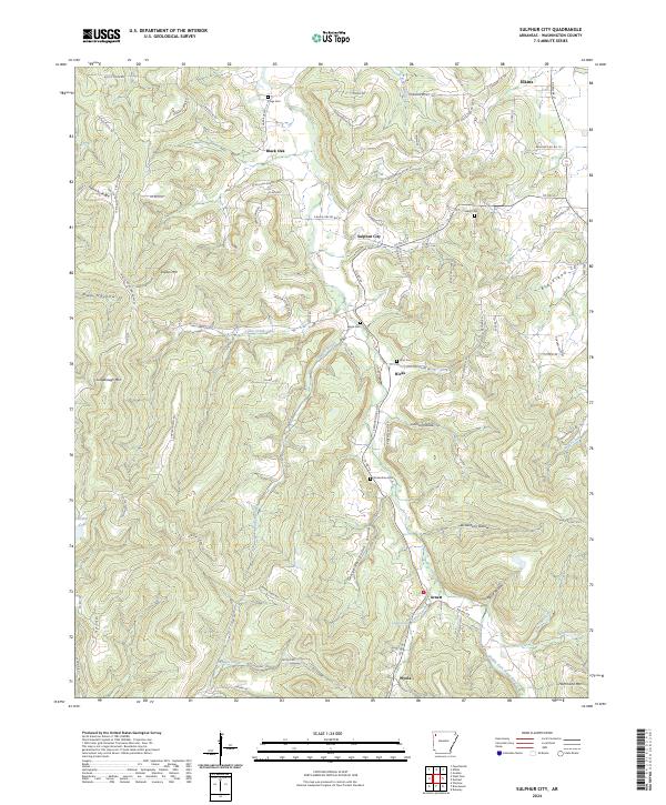 2024 Sulphur City2024 Print · USGSSoutheast of Fayetteville in the Ozark foothills, this contemporary survey captures a rural landscape of ridges and winding river forks. Genealogists can locate several family burial grounds like Kings Cem and Zion Cem alongside settlements at Sulphur City and Arnett.
End of results
Showing maps 1-10 of 10
Top cities near Elkins
- Fayetteville historical maps
- Springdale historical maps
- Lowell historical maps
- Farmington historical maps
- Johnson historical maps
- Elm Springs historical maps
See more
Top neighborhoods of Elkins
Frequently asked questions
- What are the different types of historical maps available for Elkins?
- What is the oldest map of Elkins?
- Where can I purchase historical maps of Elkins for my home or office?
- Where can I download high-res historical maps of Elkins?
- Are there historical topographic maps available for Elkins?
- Is there historical aerial imagery available for Elkins?
- Where are historical maps of Elkins sourced from?