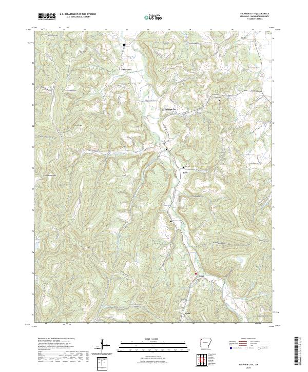
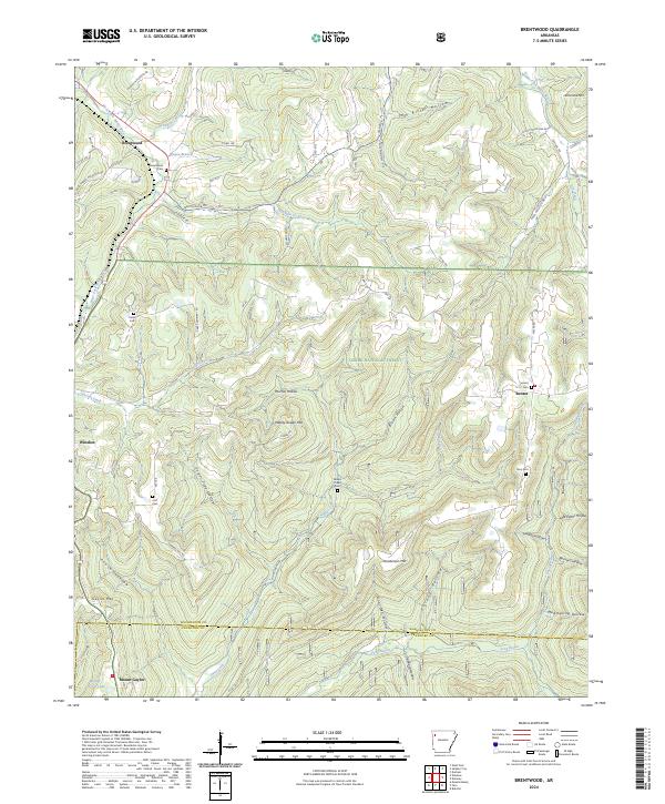
2024 Map of Sulphur City
USGS Topo · Published 2024About this map
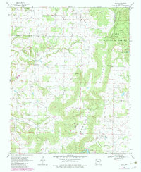
The Middle Fork White River winds through the eastern portion of this Washington County terrain, anchoring a landscape defined by small valley settlements and high ridges. Significant for family historians, the area is dotted with burial sites including Kings Cem, Salem Cem, and Reese Cem, providing essential points of reference for local genealogy. The rural community of Sulphur City serves as a central hub, surrounded by smaller locales like Black Oak to the north and Arnett and Wyola to the south.
Find a feature on this map
105 named features on this map. Tap any name to fly to it.
Don’t see what you’re looking for? This feature index may not catch every label — zoom into the map to look around manually.
Map Details
Editions of this 2024 Sulphur City Map
This is the sole edition of this map. No revisions or reprints were ever made.
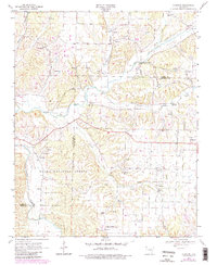
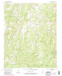
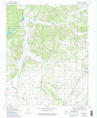
Historical Maps of Elkins Through Time
18 maps found
1939 Refuge
Washington County, AR
1958 Sonora
Washington County, AR
1958 Spring Valley
Washington County, AR
1970 Rhea
Washington County, AR
1970 Robinson
Washington County, AR
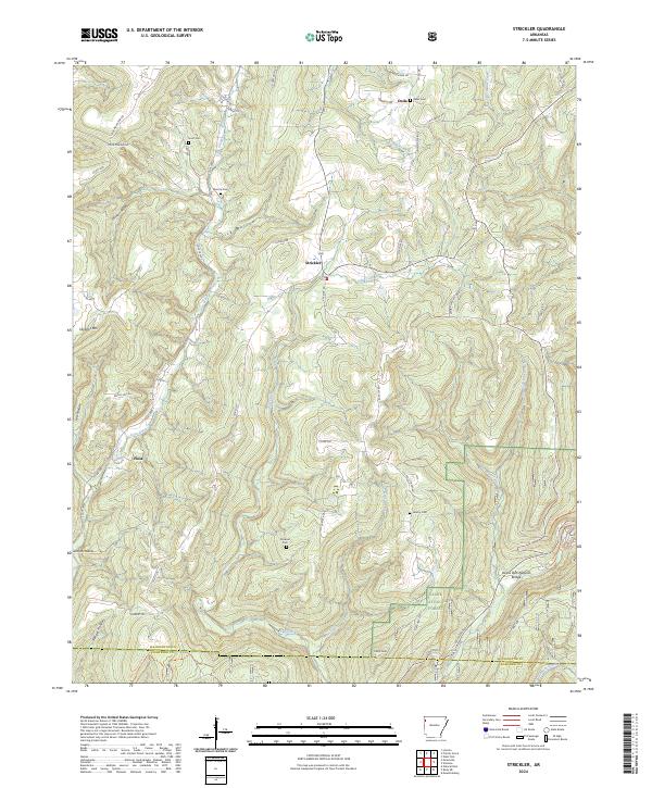
1970 Strickler
Washington County, AR
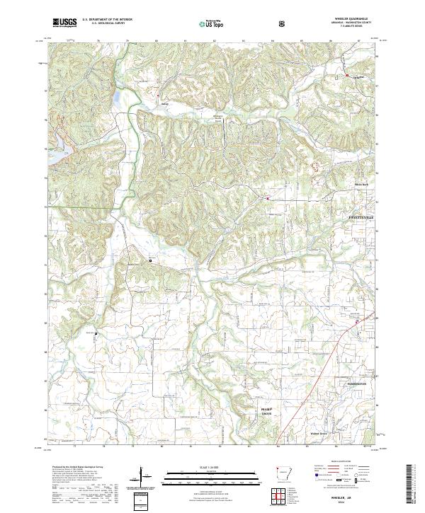
1970 Wheeler
Washington County, AR
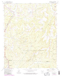
1973 Brentwood
Washington County, AR
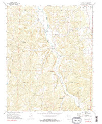
1973 Sulphur City
Washington County, AR
1994 Sonora
Washington County, AR
2024 Brentwood
Washington County, AR
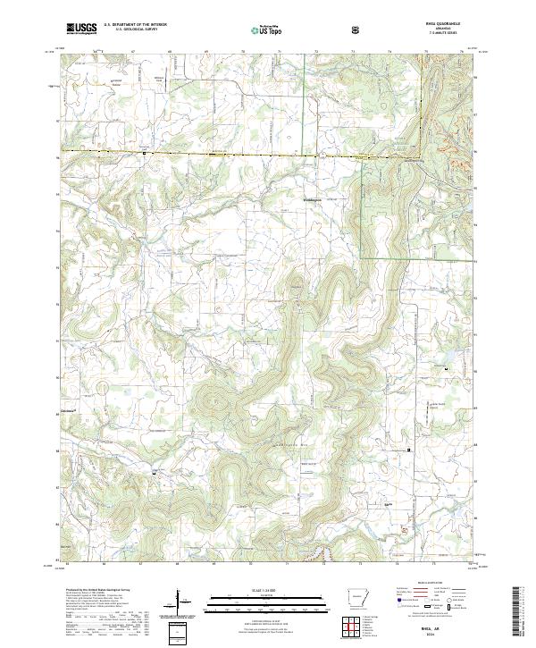
2024 Rhea
Washington County, AR
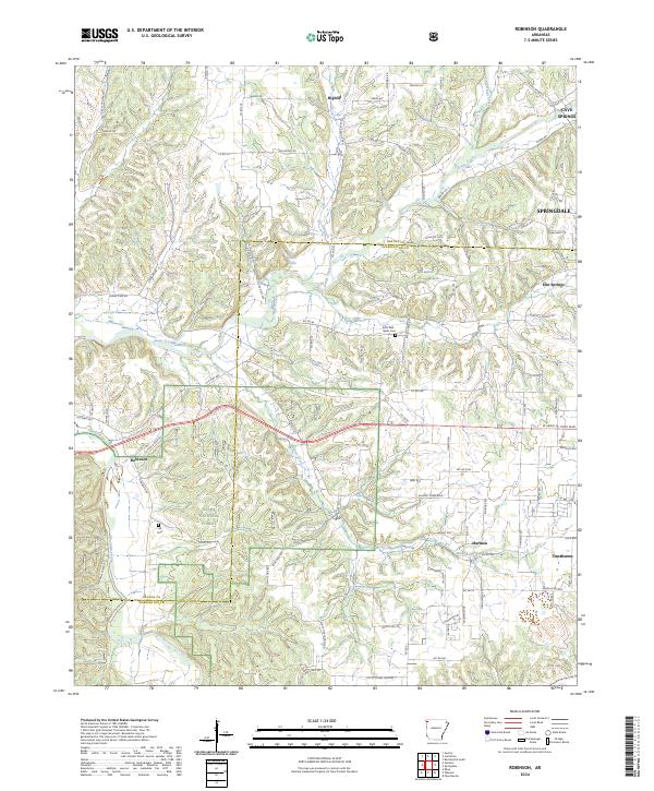
2024 Robinson
Washington County, AR
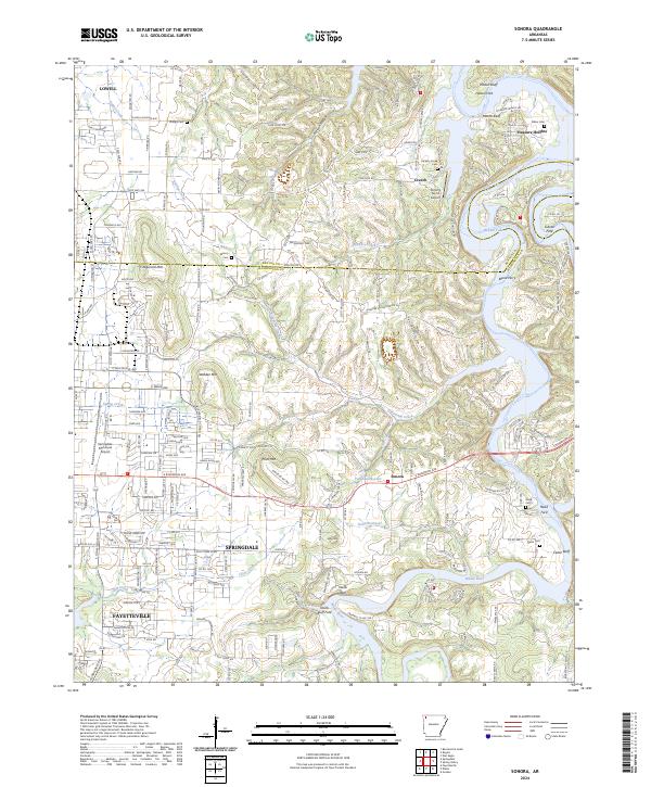
2024 Sonora
Washington County, AR
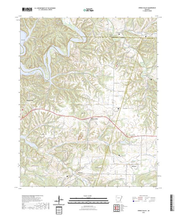
2024 Spring Valley
Washington County, AR
2024 Strickler
Washington County, AR
2024 Sulphur City
Washington County, AR
2024 Wheeler
Washington County, AR