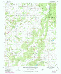
1970 Map of Rhea
USGS Topo · Published 1983About this map
Weddington Mountain dominates this section of Northwest Arkansas, serving as a prominent topographic divide between the scattered prairie lands to the west and the heavily wooded slopes of the Ozark National Forest to the east. The landscape in the early 1970s shows a transition from the agricultural open spaces of Norwood Prairie toward more rugged forested terrain. Small rural communities like Weddington and Rhea anchor the local geography, surrounded by a network of springs such as Edison Spring and Roaring Spring that define the headwaters of Spring Creek.
Find a feature on this map
27 named features on this map. Tap any name to fly to it.
Don’t see what you’re looking for? This feature index may not catch every label — zoom into the map to look around manually.
Map Details
Editions of this 1970 Rhea Map
3 editions found
Other maps of this area

1898 · Tahlequah
USGS Topo · 1:125,000

1898 · Winslow
USGS Topo · 1:125,000

1899 · Fayetteville
USGS Topo · 1:125,000

1899 · Siloam Springs
USGS Topo · 1:125,000

1901 · Winslow
USGS Topo · 1:125,000

1901 · Fayetteville
USGS Topo · 1:125,000

1901 · Tahlequah
USGS Topo · 1:125,000

1903 · Siloam Springs
USGS Topo · 1:125,000

1904 · Siloam Springs
USGS Topo · 1:125,000

1904 · Fayetteville
USGS Topo · 1:125,000