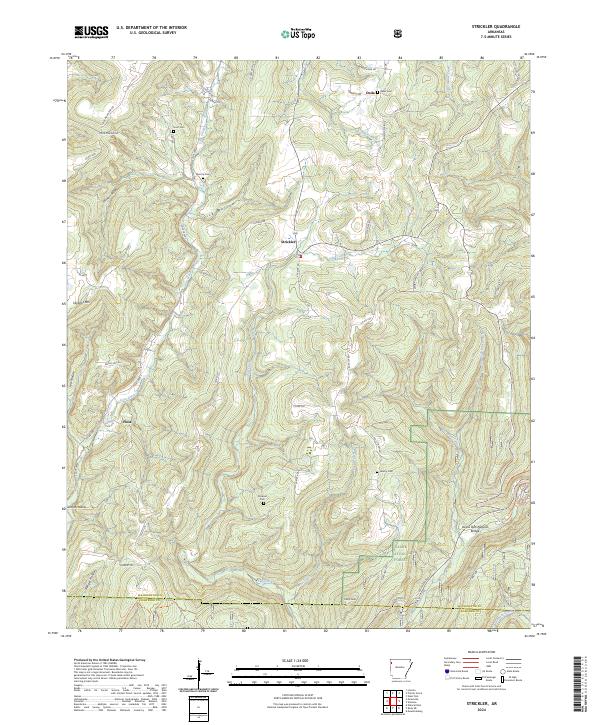
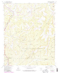
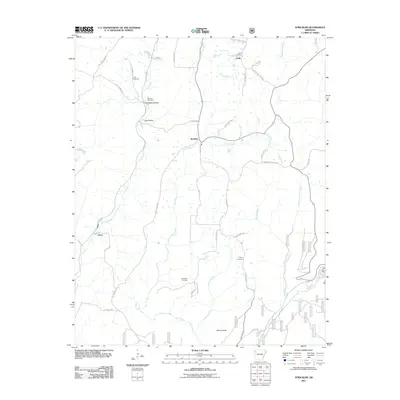
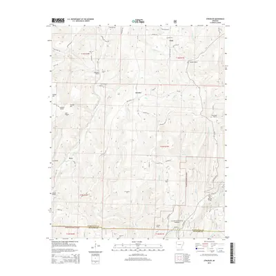
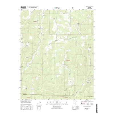
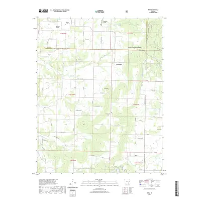
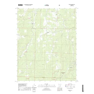
2024 Map of Strickler
USGS Topo · Published 2024About this map
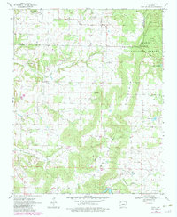
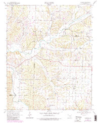
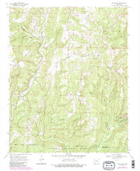
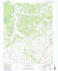
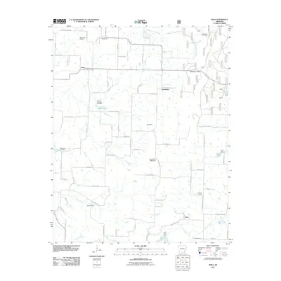
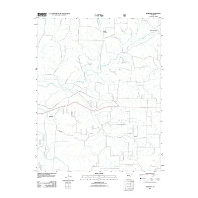
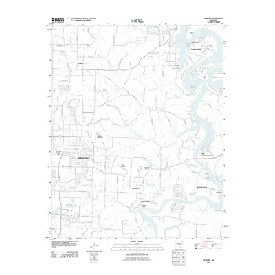
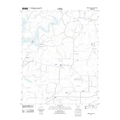
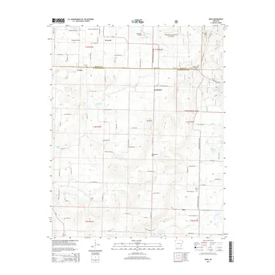
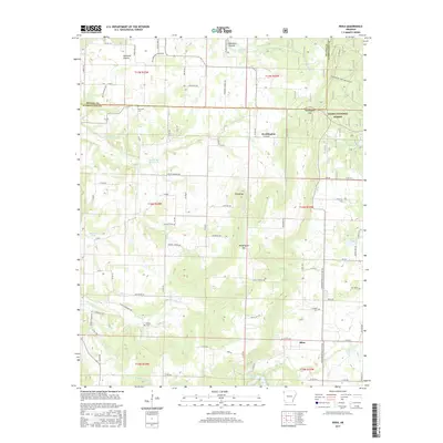
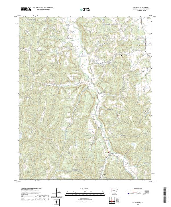
The Strickler community and the southern reaches of the Ozark National Forest define this terrain on the border of Washington and Crawford Counties. Settled along the high ridges and deep hollows like Garrett Hollow and Chambers Hollow, the area is marked by a network of rural roads such as Onda Mountain Rd and State Hwy 220. For genealogists, the landscape preserves several family burial grounds, including Dunkard Cem, Morrow Cem, and Scott Cem. Waterways like Cove Creek and the Illinois River cut through the topography, while natural landmarks such as Skylight Mtn and the Devils Den Natural Bridge highlight the unique geology of the region. The map also documents small settlements like Onda and Floss, providing a clear view of the dispersed community structure in this part of Arkansas.
Find a feature on this map
67 named features on this map. Tap any name to fly to it.
Don’t see what you’re looking for? This feature index may not catch every label — zoom into the map to look around manually.
Map Details
Editions of this 2024 Strickler Map
This is the sole edition of this map. No revisions or reprints were ever made.
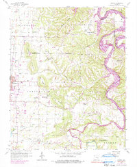
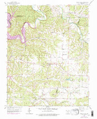
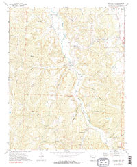
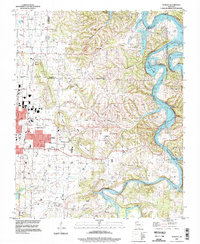
Historical Maps of Strickler Through Time
50 maps found
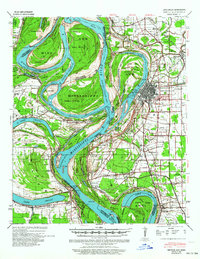
1939 Refuge
Washington County, AR
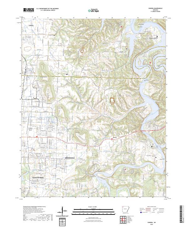
1958 Sonora
Washington County, AR
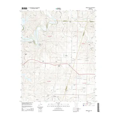
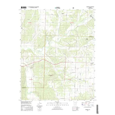
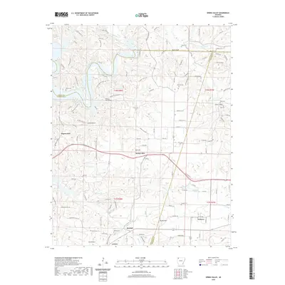
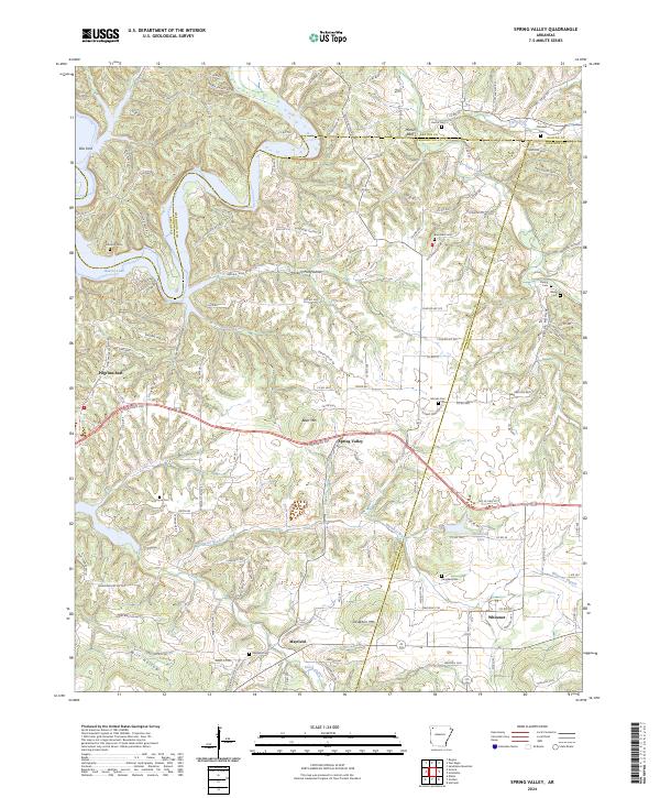
1958 Spring Valley
Washington County, AR
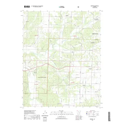
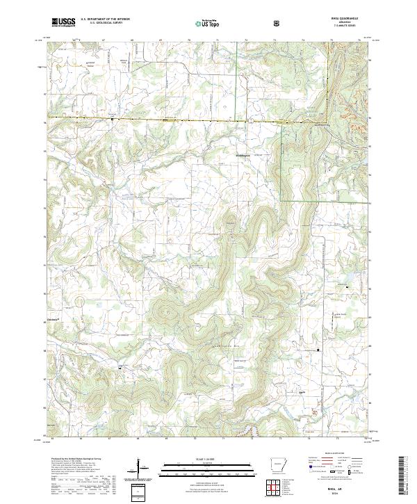
1970 Rhea
Washington County, AR
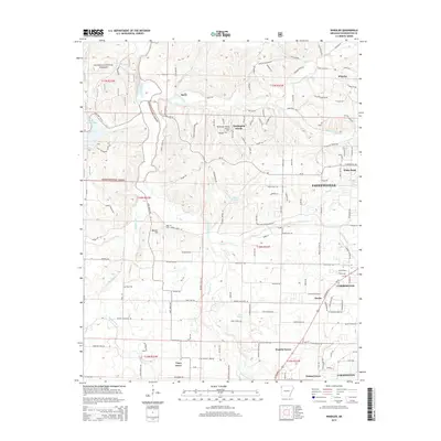
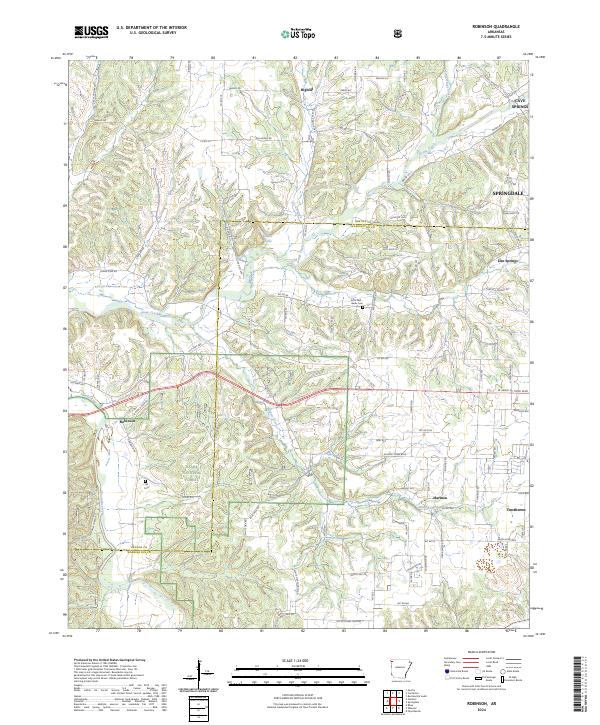
1970 Robinson
Washington County, AR
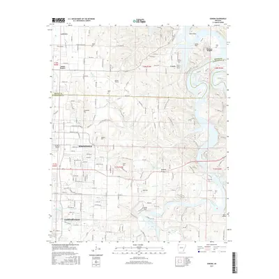
1970 Strickler
Washington County, AR
1970 Wheeler
Washington County, AR
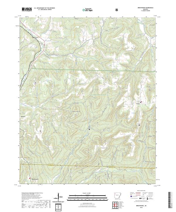
1973 Brentwood
Washington County, AR
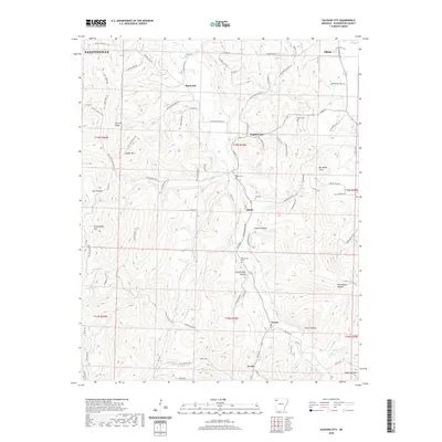
1973 Sulphur City
Washington County, AR
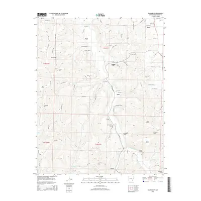
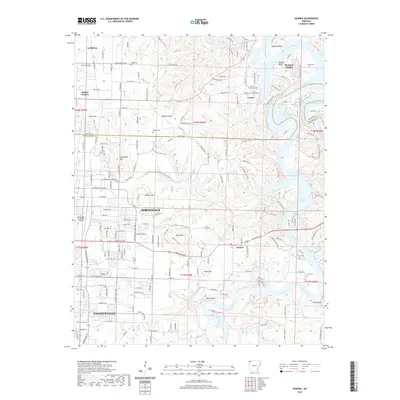
1994 Sonora
Washington County, AR
2011 Brentwood
Washington County, AR
2011 Rhea
Washington County, AR
2011 Robinson
Washington County, AR
2011 Sonora
Washington County, AR
2011 Spring Valley
Washington County, AR
2011 Strickler
Washington County, AR
2011 Sulphur City
Washington County, AR
2011 Wheeler
Washington County, AR
2014 Brentwood
Washington County, AR
2014 Rhea
Washington County, AR
2014 Robinson
Washington County, AR
2014 Sonora
Washington County, AR
2014 Spring Valley
Washington County, AR
2014 Strickler
Washington County, AR
2014 Sulphur City
Washington County, AR
2014 Wheeler
Washington County, AR
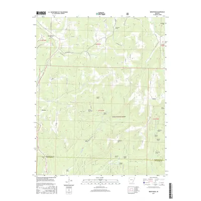
2017 Brentwood
Washington County, AR
2017 Rhea
Washington County, AR
2017 Robinson
Washington County, AR
2017 Sonora
Washington County, AR
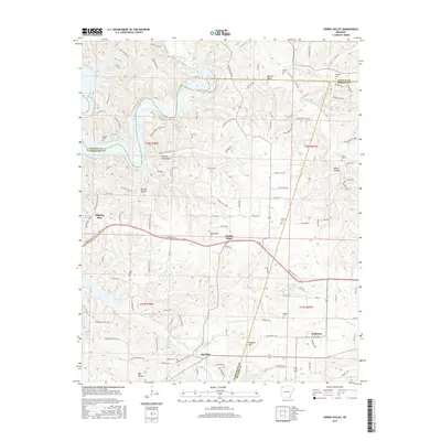
2017 Spring Valley
Washington County, AR
2017 Strickler
Washington County, AR
2017 Sulphur City
Washington County, AR
2017 Wheeler
Washington County, AR
2020 Brentwood
Washington County, AR
2020 Rhea
Washington County, AR
2020 Robinson
Washington County, AR
2020 Sonora
Washington County, AR
2020 Spring Valley
Washington County, AR
2020 Strickler
Washington County, AR
2020 Sulphur City
Washington County, AR
2020 Wheeler
Washington County, AR
2024 Brentwood
Washington County, AR
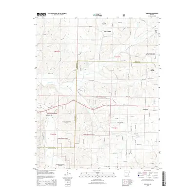
2024 Rhea
Washington County, AR
2024 Robinson
Washington County, AR
2024 Sonora
Washington County, AR
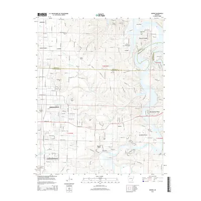
2024 Spring Valley
Washington County, AR
2024 Strickler
Washington County, AR
2024 Sulphur City
Washington County, AR
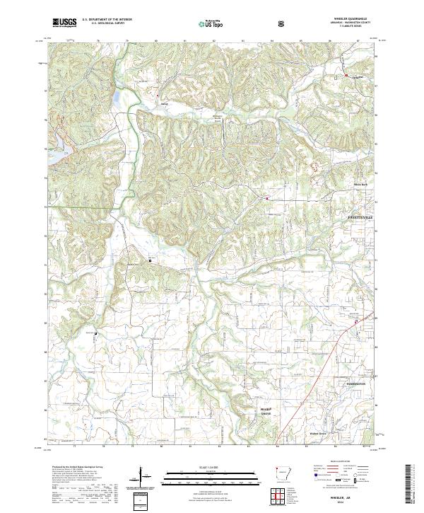
2024 Wheeler
Washington County, AR