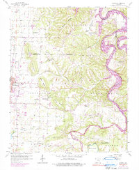
1958 Map of Sonora
USGS Topo · Published 1990About this map
White River and its major tributaries, including War Eagle Creek and Brush Creek, define the complex topography of this Arkansas landscape. The terrain is marked by prominent bluffs such as Helton Bluff and Martin Bluff, while the high points of Fitzgerald Mountain and Price Mountain rise above the surrounding valleys. The eastern edge of Springdale is visible, showing the expansion of the urban area and the location of the Springdale Municipal Airport alongside the St Louis San Francisco railroad line.
Find a feature on this map
49 named features on this map. Tap any name to fly to it.
Don’t see what you’re looking for? This feature index may not catch every label — zoom into the map to look around manually.
Map Details
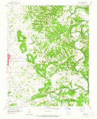
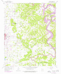
Editions of this 1958 Sonora Map
4 editions found

Other maps of this area

1899 · Fayetteville
USGS Topo · 1:125,000

1900 · Eureka Springs
USGS Topo · 1:125,000

1901 · Eureka Springs
USGS Topo · 1:125,000

1901 · Fayetteville
USGS Topo · 1:125,000

1904 · Fayetteville
USGS Topo · 1:125,000

1945 · Harrison
USGS Topo · 1:250,000

1949 · Harrison
USGS Topo · 1:250,000

1954 · Harrison
USGS Topo · 1:250,000

1954 · Tulsa
USGS Topo · 1:250,000

1957 · War Eagle
USGS Topo · 1:24,000