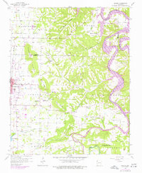
1958 Map of Sonora
USGS Topo · Published 1977About this map
White River and the newly expanded Beaver Lake dominate the eastern landscape of this Washington County survey, capturing a period of significant hydraulic and urban transition. To the west, the growing footprint of Springdale is evident near the St Louis San Francisco railroad line, with residential extensions and the Springdale Municipal Airport visible. The map provides a rich record for genealogists, preserving the locations of numerous rural schools like Accident Sch and Monitor Sch, as well as several family-named burial grounds including Wilson Cem and Dibler Cem.
Find a feature on this map
51 named features on this map. Tap any name to fly to it.
Don’t see what you’re looking for? This feature index may not catch every label — zoom into the map to look around manually.
Map Details
Editions of this 1958 Sonora Map
4 editions found

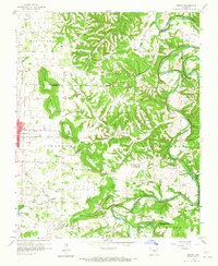
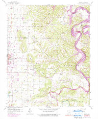
Other maps of this area

1899 · Fayetteville
USGS Topo · 1:125,000

1900 · Eureka Springs
USGS Topo · 1:125,000

1901 · Eureka Springs
USGS Topo · 1:125,000

1901 · Fayetteville
USGS Topo · 1:125,000

1904 · Fayetteville
USGS Topo · 1:125,000

1945 · Harrison
USGS Topo · 1:250,000

1949 · Harrison
USGS Topo · 1:250,000

1954 · Harrison
USGS Topo · 1:250,000

1954 · Tulsa
USGS Topo · 1:250,000

1957 · War Eagle
USGS Topo · 1:24,000