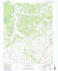
1970 Map of Wheeler
USGS Topo · Published 1983About this map
Savoy and Wheeler sit at the northern reaches of this Washington County landscape, where the Illinois River winds through the hills toward the western edge of Farmington. The map highlights a rural infrastructure defined by scattered homesteads and specialized land use, including the University of Arkansas Experimental Farm and a state Fish Hatchery. In the northwest, the Ozark National Forest encompasses Lake Weddington, a focal point for recreation with its established Campground.
Find a feature on this map
35 named features on this map. Tap any name to fly to it.
Don’t see what you’re looking for? This feature index may not catch every label — zoom into the map to look around manually.
Map Details
Editions of this 1970 Wheeler Map
4 editions found
Other maps of this area

1898 · Winslow
USGS Topo · 1:125,000

1899 · Fayetteville
USGS Topo · 1:125,000

1901 · Winslow
USGS Topo · 1:125,000

1901 · Fayetteville
USGS Topo · 1:125,000

1904 · Fayetteville
USGS Topo · 1:125,000

1946 · Fort Smith
USGS Topo · 1:250,000

1954 · Tulsa
USGS Topo · 1:250,000

1958 · Fayetteville
USGS Topo · 1:24,000

1958 · Tulsa
USGS Topo · 1:250,000

1963 · Tulsa
USGS Topo · 1:250,000