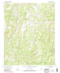
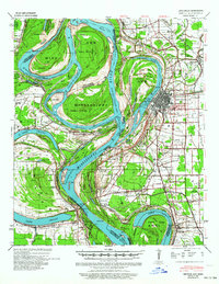
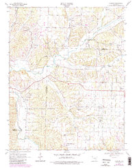
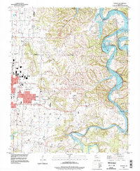
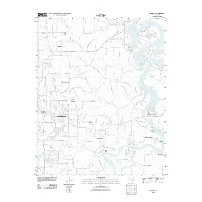
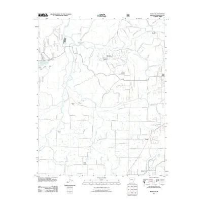
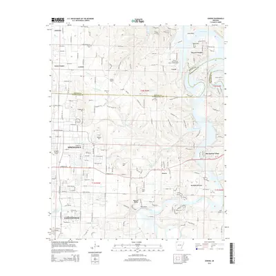
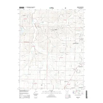
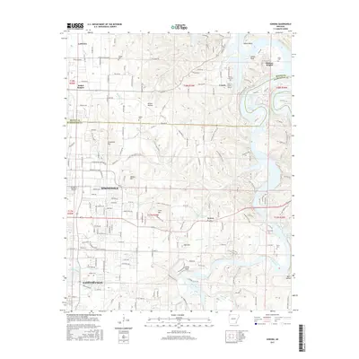
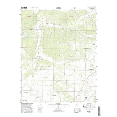
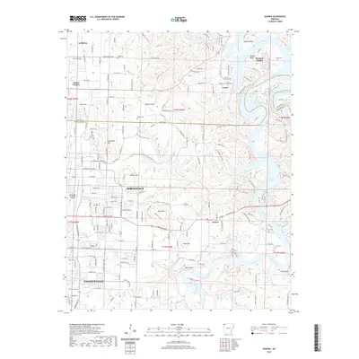
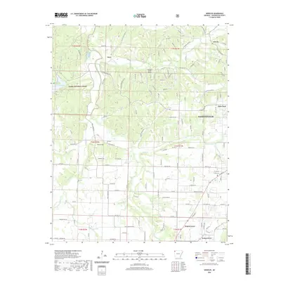
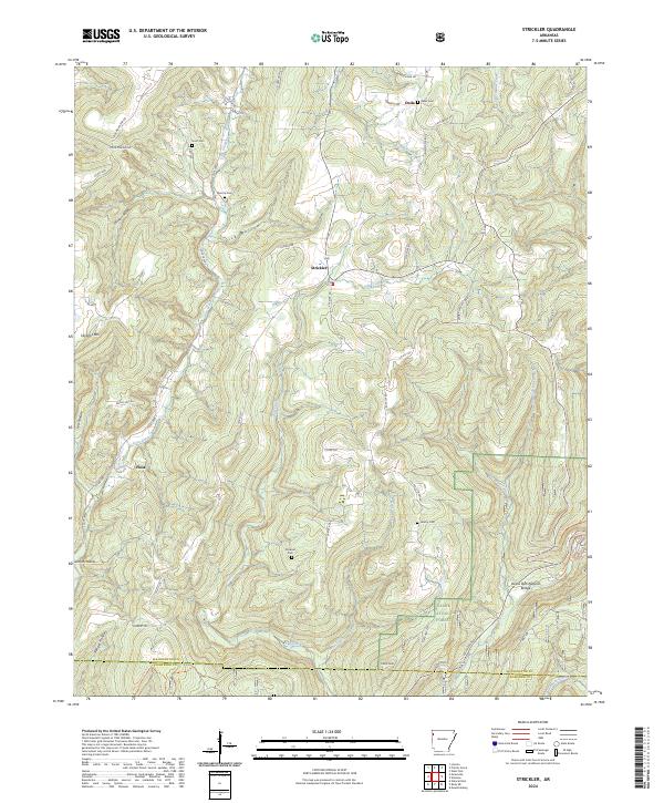
1970 Map of Strickler
USGS Topo · Published 1983About this map
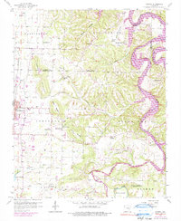
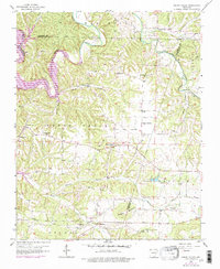
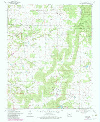
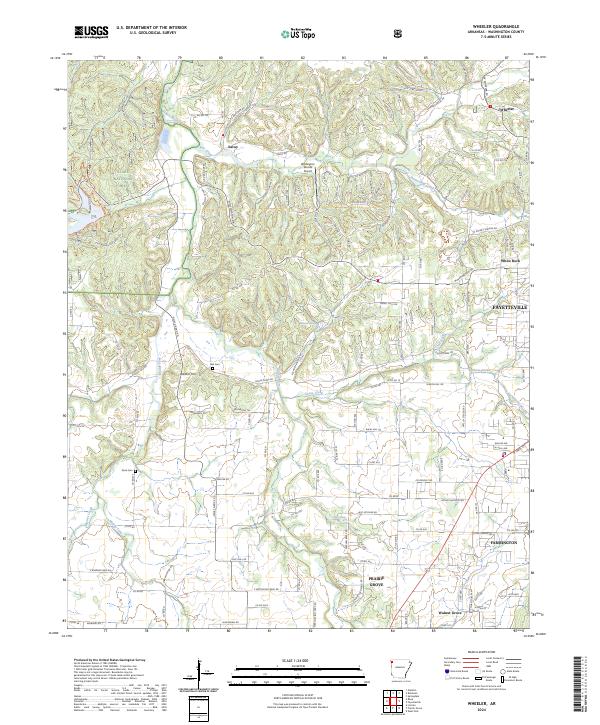
Skylight Mountain rises above a landscape defined by deep drainages and rural settlements in the southern Ozarks. This 1970s record, revised in the early 1980s, captures the high-relief terrain where the Washington Co Crawford Co line crosses rugged ridges. Small agricultural and homestead pockets like Strickler and Onda are connected by narrow roads following valley floors, while the southeastern corner is dominated by the steep ravines of Devils Den State Park.
Find a feature on this map
27 named features on this map. Tap any name to fly to it.
Don’t see what you’re looking for? This feature index may not catch every label — zoom into the map to look around manually.
Map Details
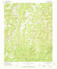
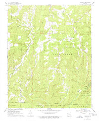
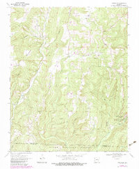
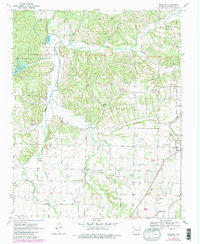
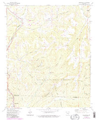
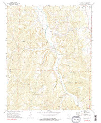
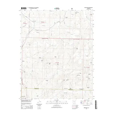
Editions of this 1970 Strickler Map
4 editions found
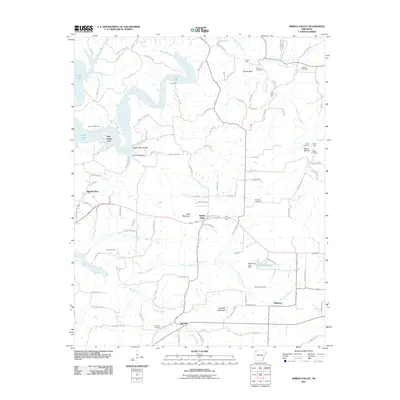
Historical Maps of Floss Through Time
50 maps found
1939 Refuge
Washington County, AR
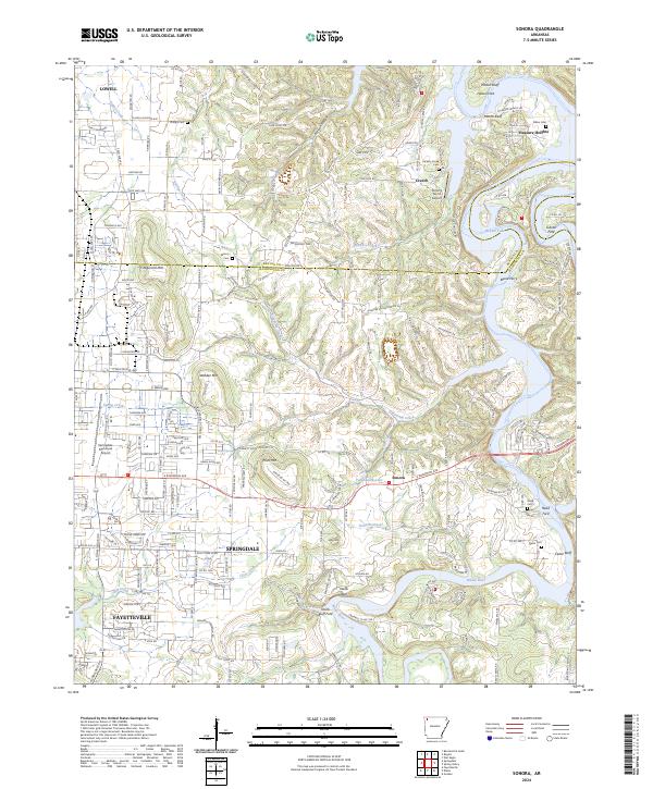
1958 Sonora
Washington County, AR
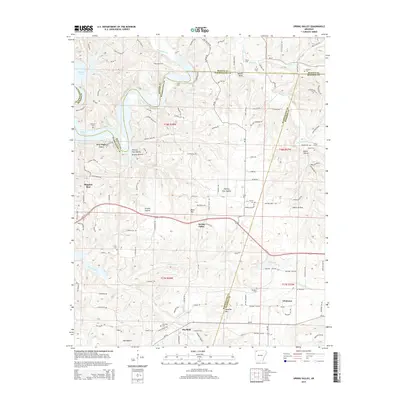
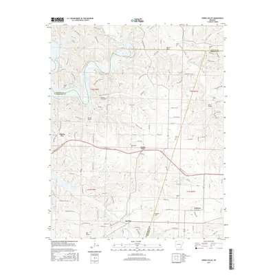
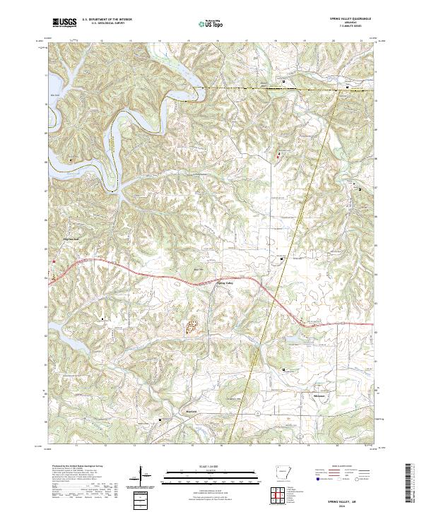
1958 Spring Valley
Washington County, AR
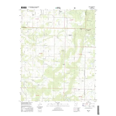
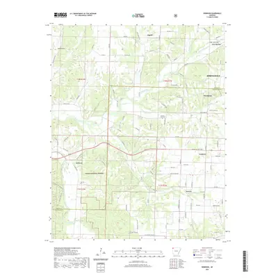
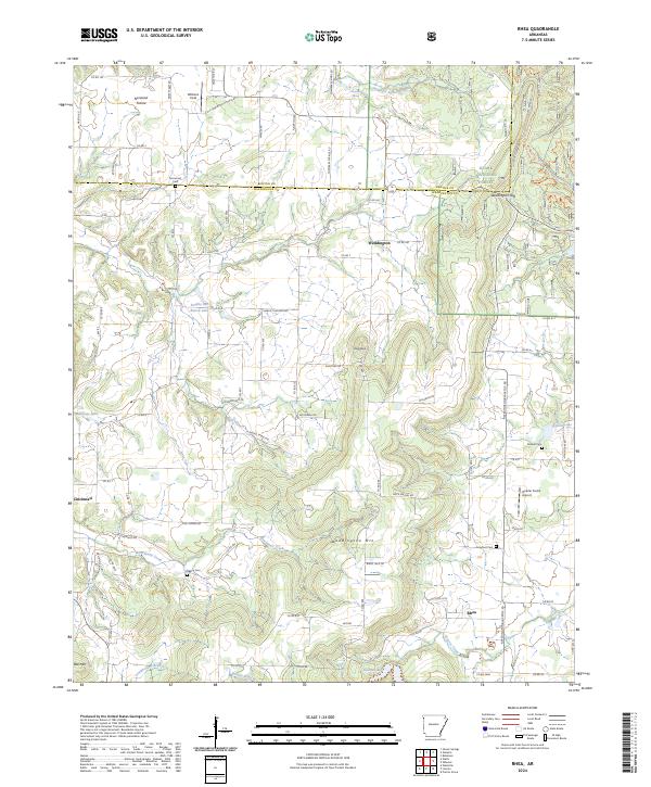
1970 Rhea
Washington County, AR
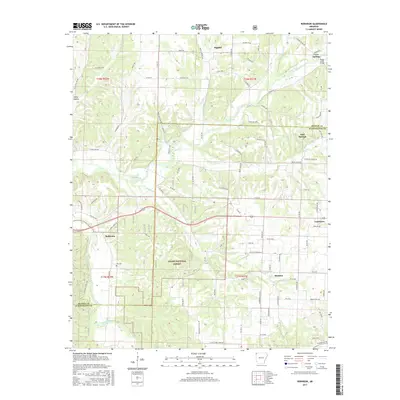
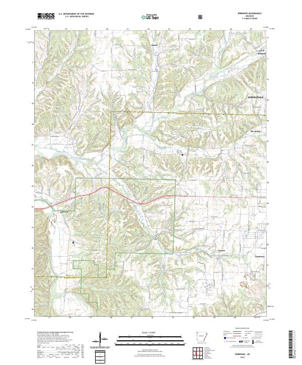
1970 Robinson
Washington County, AR
1970 Strickler
Washington County, AR
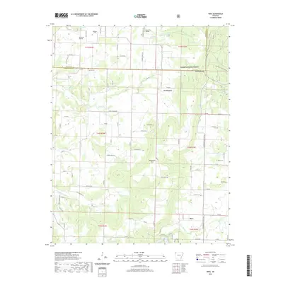
1970 Wheeler
Washington County, AR
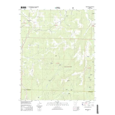
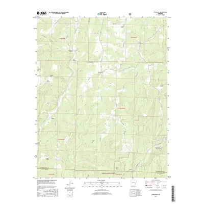
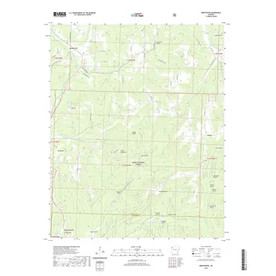
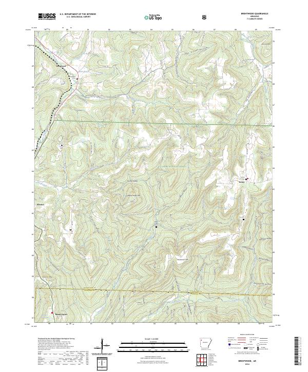
1973 Brentwood
Washington County, AR
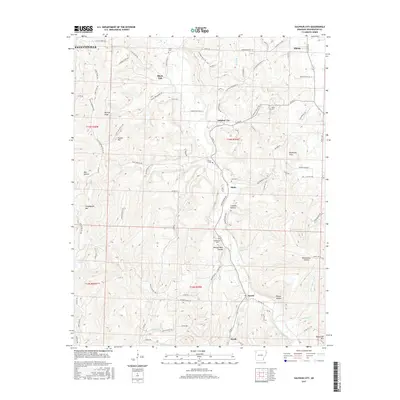
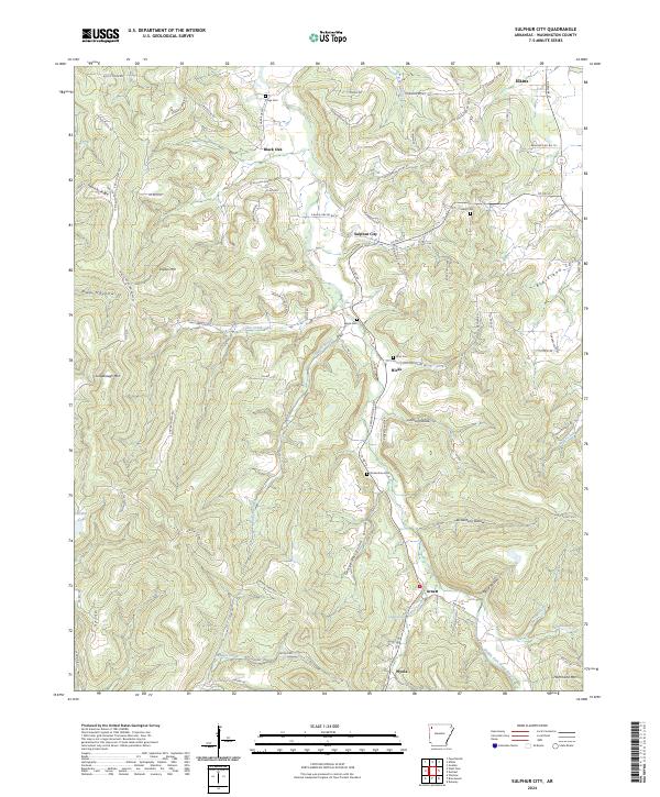
1973 Sulphur City
Washington County, AR
1994 Sonora
Washington County, AR
2011 Brentwood
Washington County, AR
2011 Rhea
Washington County, AR
2011 Robinson
Washington County, AR
2011 Sonora
Washington County, AR
2011 Spring Valley
Washington County, AR
2011 Strickler
Washington County, AR
2011 Sulphur City
Washington County, AR
2011 Wheeler
Washington County, AR
2014 Brentwood
Washington County, AR
2014 Rhea
Washington County, AR
2014 Robinson
Washington County, AR
2014 Sonora
Washington County, AR
2014 Spring Valley
Washington County, AR
2014 Strickler
Washington County, AR
2014 Sulphur City
Washington County, AR
2014 Wheeler
Washington County, AR
2017 Brentwood
Washington County, AR
2017 Rhea
Washington County, AR
2017 Robinson
Washington County, AR
2017 Sonora
Washington County, AR
2017 Spring Valley
Washington County, AR
2017 Strickler
Washington County, AR
2017 Sulphur City
Washington County, AR
2017 Wheeler
Washington County, AR
2020 Brentwood
Washington County, AR
2020 Rhea
Washington County, AR
2020 Robinson
Washington County, AR
2020 Sonora
Washington County, AR
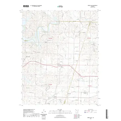
2020 Spring Valley
Washington County, AR
2020 Strickler
Washington County, AR
2020 Sulphur City
Washington County, AR
2020 Wheeler
Washington County, AR
2024 Brentwood
Washington County, AR
2024 Rhea
Washington County, AR
2024 Robinson
Washington County, AR
2024 Sonora
Washington County, AR
2024 Spring Valley
Washington County, AR
2024 Strickler
Washington County, AR
2024 Sulphur City
Washington County, AR
2024 Wheeler
Washington County, AR