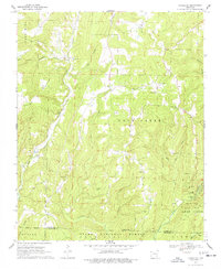
1970 Map of Strickler
USGS Topo · Published 1977About this map
Cane Hill and the rugged Boston Mountains define this section of Northwest Arkansas, captured during a 1970 field check. The landscape is deeply carved by water, with the Cove Creek and Lees Creek Valley systems providing the primary drainage for the area. The small settlement of Strickler sits at the center of the sheet, surrounded by numerous family and community cemeteries that speak to the long-standing rural heritage of the region, including Morrow Cem, Scott Cem, and Dunkard Cem. In the southeast corner, the map details the terrain of Devils Den State Park, including a designated Campground and Picnic Area. The southern portion of the map transitions into the protected lands of the Ozark National Forest, where features like Cherry Knob and Locust Creek underscore the area's wild character just north of the Washington and Crawford County line.
Find a feature on this map
34 named features on this map. Tap any name to fly to it.
Don’t see what you’re looking for? This feature index may not catch every label — zoom into the map to look around manually.
Map Details
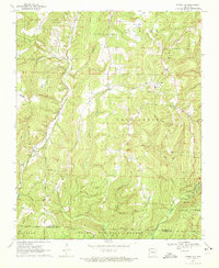
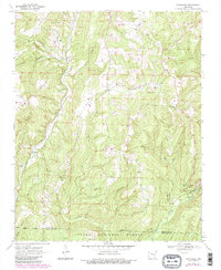
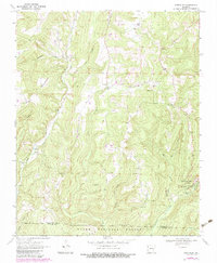
Editions of this 1970 Strickler Map
4 editions found
Other maps of this area

1898 · Winslow #4
USGS Topo · 1:62,500

1898 · Winslow #3
USGS Topo · 1:62,500

1898 · Winslow
USGS Topo · 1:125,000

1901 · Winslow
USGS Topo · 1:125,000

1946 · Fort Smith
USGS Topo · 1:250,000

1965 · Fort Smith
USGS Topo · 1:250,000

1967 · Fort Smith
USGS Topo · 1:250,000

1969 · Natural Dam
USGS Topo · 1:24,000
1969 · Mountainburg
USGS Topo · 1:24,000
1970 · Evansville
USGS Topo · 1:24,000