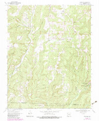
1970 Map of Strickler
USGS Topo · Published 1983About this map
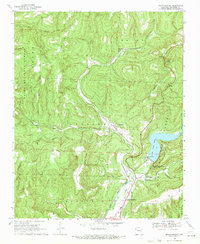
Strickler and the surrounding Boston Mountains terrain are meticulously documented in this survey, which captures the rural character of southern Washington County before the turn of the 21st century. The landscape is defined by the steep relief of Skylight Mountain and Cherry Knob, with numerous drainages like Cove Creek and Fall Creek carving deep hollows through the timberland. Much of the southern portion of the map is protected within the Ozark National Forest, including the rugged eastern section that contains Devils Den State Park.
Find a feature on this map
28 named features on this map. Tap any name to fly to it.
Don’t see what you’re looking for? This feature index may not catch every label — zoom into the map to look around manually.
Map Details
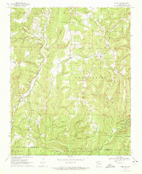
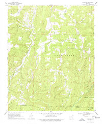
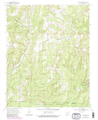
Editions of this 1970 Strickler Map
4 editions found
Other maps of this area

1898 · Winslow #4
USGS Topo · 1:62,500

1898 · Winslow #3
USGS Topo · 1:62,500

1898 · Winslow
USGS Topo · 1:125,000

1901 · Winslow
USGS Topo · 1:125,000

1946 · Fort Smith
USGS Topo · 1:250,000

1965 · Fort Smith
USGS Topo · 1:250,000

1967 · Fort Smith
USGS Topo · 1:250,000

1969 · Natural Dam
USGS Topo · 1:24,000
1969 · Mountainburg
USGS Topo · 1:24,000
1970 · Evansville
USGS Topo · 1:24,000