Old Maps of Floss, Arkansas for Hiking & Exploration
Hike through history with 13 historic maps of Floss. Explore old trails, ghost towns, and forgotten backroads — perfect for outdoor adventurers and local explorers.
- Rediscover forgotten places: Map out old mining camps, roads, and footpaths that no longer exist on modern maps.
- Layer with modern tools: Combine with LiDAR or satellite views to plan hikes through historical terrain.
- Made for exploration: Popular among hikers, overlanders, and local history lovers.
Use these maps to find adventure and explore the hidden past of Floss.
Floss, AR maps
(13)- 1898 Map of Winslow, 1954 Print
 1898 Winslow1954 Print · USGSNorthwest Arkansas and the adjacent Indian Territory are captured here in the late nineteenth century as the railroad began to transform the high Ozarks. Genealogists can trace early homesteads and transport routes like the Quesenbury Road, Rheas Mill, and the mountain town of Winslow.
 - 1901 Map of Winslow
 1901 Winslow1901 Print · USGSThe Boston Mountains and the Arkansas border are captured here at the close of the nineteenth century, documenting the critical rail passage through the Ozarks. Genealogists and historians can trace the Frisco Line, the historic Old Wire Road, and early settlements like Cove City and Cane Hill.5 unique versions available
 - 1946 Map of Fort Smith
 1946 Fort Smith1946 Print · USGSThe Arkansas-Oklahoma borderlands appear here in the mid-forties, as new reservoirs began to transform the river valleys. Genealogists and historians can trace rail-served towns from Muskogee to Fort Smith and locate landmarks like Camp Chaffee.
 - 1965 Map of Fort Smith
 1965 Fort Smith1965 Print · USGSEastern Oklahoma and Western Arkansas are captured here during a period of massive post-war change as new reservoirs reshaped the river valleys. Genealogists and historians can trace the rail networks of the Midland Valley RR and find established communities like Stilwell, Sallisaw, and Stigler.
 - 1967 Map of Fort Smith
 1967 Fort Smith1967 Print · USGSThe Arkansas River valley and the foothills of the Ozarks are captured here during a period of significant military and industrial activity. Researchers can trace the sprawling bounds of Camp Chaffee and Camp Gruber or locate vanished rail stops along the Midland Valley RR.
 - 1970 Map of Strickler, 1972 Print
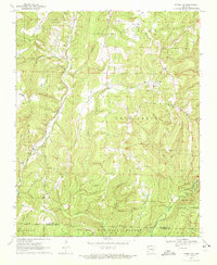 1970 Strickler1972 Print · USGSThe Boston Mountains of Washington County are shown here in the early 1970s, just as the rural landscape of the Ozarks began to see modern shifts. Genealogists and local historians can locate many family landmarks, from Scott Cem and Dunkard Cem to Bee Scuffle Ch and the settlement of Strickler.4 unique versions available
 - 1978 Map of Fort Smith, 1979 Print
 1978 Fort Smith1979 Print · USGSThe Arkansas-Oklahoma borderlands in the late seventies show a landscape shaped by massive river reservoirs and sprawling military reservations. Trace the historic rail lines of the Missouri Pacific RR and locate regional landmarks like Fort Gibson, Tenkiller Ferry Lake, and Barling.2 unique versions available
 - 1978 Map of Stilwell, 1979 Print
 1978 Stilwell1979 Print · USGSThe Oklahoma-Arkansas borderlands come alive in the late seventies, showing the transition from the Cherokee Nation hills to the Arkansas Ozarks. Researchers can trace the Kansas City Southern rail line through Stilwell, find Wrights Chapel, or locate the Northeastern State College campus in Tahlequah.
 - 2011 Map of Strickler, 2011 Print
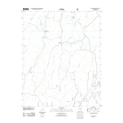 2011 Strickler2011 Print · USGSWashington County at the start of the 2010s reveals a landscape of isolated settlements and high ridges shaped by the Illinois River. Genealogists can trace family roots through several local burial grounds, including the Morrow Cemetery, Dunkard Cemetery, and Baker Cemetery.
 - 2014 Map of Strickler, 2014 Print
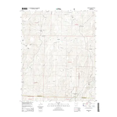 2014 Strickler2014 Print · USGSThe Ozark highlands at the Washington and Crawford county line appear here in a period of quiet rural character. Researchers can trace family history through several remote burial sites like Scott Cem and Liberty Cem or locate the landmark Devils Den Natural Bridge.
 - 2017 Map of Strickler, 2017 Print
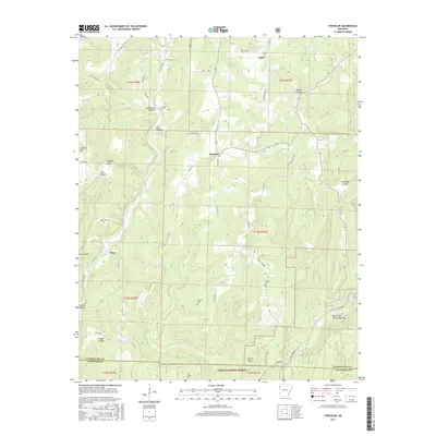 2017 Strickler2017 Print · USGSThe Boston Mountains of Washington County are shown in detail during the late 2010s, revealing a landscape of remote hollows and high ridges. Genealogists can locate several local burial grounds including Liberty Cem and Oak Grove Cem near the community of Strickler.
 - 2020 Map of Strickler, 2020 Print
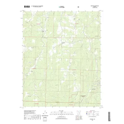 2020 Strickler2020 Print · USGSNorthwest Arkansas at the edge of the Boston Mountains reveals a landscape of high ridges and rural settlements. Genealogists can trace family names through Morrow Cem and Dunkard Cem, or explore the area around Strickler and the Devils Den Natural Bridge.
 - 2024 Map of Strickler, 2024 Print
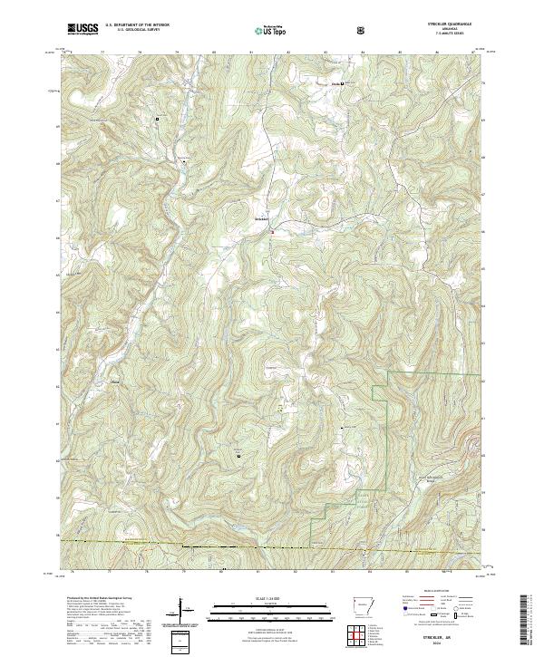 2024 Strickler2024 Print · USGSNorthwest Arkansas ridges and hollows are documented here just as the forest begins its transition into the Ozark National Forest. Researchers can trace old family sites near Dunkard Cem, Liberty Cem, and the small settlement of Strickler.
End of results
Showing maps 1-13 of 13
Top cities near Floss
- Fayetteville historical maps
- Farmington historical maps
- Prairie Grove historical maps
- West Fork historical maps
- Lincoln historical maps
- Westville historical maps
See more
Frequently asked questions
- What are the different types of historical maps available for Floss?
- What is the oldest map of Floss?
- Where can I purchase historical maps of Floss for my home or office?
- Where can I download high-res historical maps of Floss?
- Are there historical topographic maps available for Floss?
- Is there historical aerial imagery available for Floss?
- Where are historical maps of Floss sourced from?