Old Maps of Pilgrims Rest, Arkansas for Academic Research
Study the evolution of Pilgrims Rest with 15 high-resolution historic maps. Whether you're teaching, researching, or modeling changes in land use, these maps provide essential visual documentation of urban, environmental, and geographic change.
- Analyze long-term change: Track patterns in development, transportation, and natural features.
- Ideal for environmental or urban studies: Support academic projects with primary historical map data.
- Use in the classroom or lab: Educators and researchers rely on these maps to bring historical context to life.
These maps are a powerful tool for teaching, research, and visualizing how Pilgrims Rest has changed over the decades.
Pilgrims Rest, AR maps
(15)- 1900 Map of Eureka Springs, 1954 Print
 1900 Eureka Springs1954 Print · USGSThe Ozark Mountains around the Arkansas and Missouri border are shown here during the turn of the century, when the river-and-rail economy was firmly established. Researchers can locate early family crossings and landmarks like Knox Ferry, Pivot Rock, and the St. Louis & San Francisco R. R.
 - 1901 Map of Eureka Springs
 1901 Eureka Springs1901 Print · USGSThe Arkansas Ozarks at the turn of the century are captured here in a time of river ferries and mountain townships. Genealogists and historians can locate early settlements like Eureka Springs and Berryville, or trace historic crossings such as Knox Ferry and Ellis Ford.3 unique versions available
 - 1945 Map of Harrison
 1945 Harrison1945 Print · USGSThe Ozark and Boston Mountains straddle the Missouri-Arkansas border during the mid-forties, showing a landscape of forest ridges and river valleys. Genealogists and historians can trace rail-connected towns like Monett and West Plains or early lake developments at Bull Shoals Res and Norfork Lake.
 - 1949 Map of Harrison
 1949 Harrison1949 Print · USGSThe Ozark highlands of northern Arkansas and southern Missouri are shown just after the war, when the White River still followed its original course. Genealogists and historians can trace rail lines like the Missouri & Arkansas RR and locate rural hubs like Harrison, Eureka Springs, and Mountain Home.
 - 1954 Map of Harrison
 1954 Harrison1954 Print · USGSThe Ozarks and Boston Mountains meet during a period of massive river engineering in the mid-fifties. Researchers can trace the early shorelines of Bull Shoals Lake and Table Rock Reservoir or locate inland towns like Berryville and Harrison.
 - 1958 Map of Spring Valley, 1959 Print
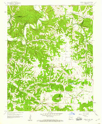 1958 Spring Valley1959 Print · USGSNorthwest Arkansas in the late fifties was a landscape of winding river valleys and dispersed family homesteads at the intersection of three counties. Genealogists can trace family names through rural burial grounds like Austin Cem and Whitener Cem or locate the old Pilgrims Rest Sch.3 unique versions available
 - 1958 Map of Harrison, 1973 Print
 1958 Harrison1973 Print · USGSThe Ozark and Boston Mountains appear in this mid-century survey as the great White River impoundments were reshaping the region. Researchers can trace the rail lines of the St Louis-San Francisco Ry and locate early settlements like Berryville and Gainesville.
 - 1964 Map of Harrison
 1964 Harrison1964 Print · USGSThe Ozark and Boston Mountains of Arkansas and Missouri are captured here in the mid-sixties, showing the rugged highlands before extensive modern development. Genealogists and historians can trace family-named peaks like Gaither Mountain and follow the St Louis-San Francisco RR through Monett and Purdy.
 - 1985 Map of Harrison
 1985 Harrison1985 Print · USGSNorthwest Arkansas and southwest Missouri appear in the mid-eighties as a region of deep river valleys and high Ozark ridges. Researchers can trace rural life across several counties, locating the Bear Creek Springs Quarry, the winding Buffalo National River, and hilltop settlements like Alpena.
 - 1985 Map of Harrison
 1985 Harrison1985 Print · USGSThe Ozark highlands and the White River valley are seen here in the mid-1980s, showcasing a region defined by its massive reservoirs and protected wilderness. You can trace the rugged corridors of the Missouri & North Arkansas RR or locate historic settlements like Eureka Springs and Jasper.
 - 2011 Map of Spring Valley, 2011 Print
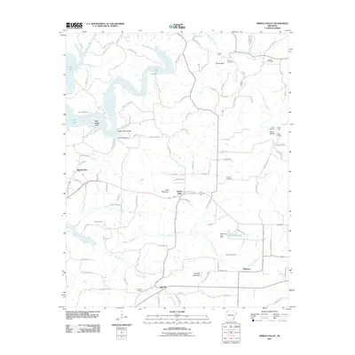 2011 Spring Valley2011 Print · USGSThe rural highlands of Washington County are captured here just after the first decade of the new millennium. Researchers can trace family history through numerous landmarks including Spring Valley, Johnson Cemetery, and the river crossings at Cook Ford.
 - 2014 Map of Spring Valley, 2014 Print
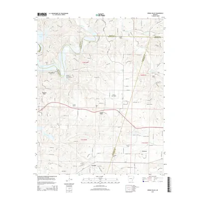 2014 Spring Valley2014 Print · USGSThe tri-county border area of Northwest Arkansas appears here in the early twenty-first century, centered on the Spring Valley community. Researchers can trace rural lineages through numerous family burial sites like Vaughan Cemetery or locate old water crossings at Cook Ford and Denny Ford.
 - 2017 Map of Spring Valley, 2017 Print
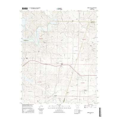 2017 Spring Valley2017 Print · USGSSpring Valley and the tri-county corner of Washington, Benton, and Madison are shown here as they appeared in the late twenty-teens. Researchers can trace historic family names through landmarks like Old Best Cem, Mayfield Cem, and Vaughan Mtn.
 - 2020 Map of Spring Valley, 2020 Print
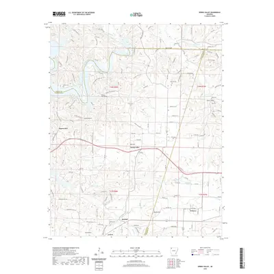 2020 Spring Valley2020 Print · USGSThe rural borderlands of Washington and Madison counties are captured here as they appeared recently, showing the enduring settlement patterns of the Ozarks. Researchers can locate numerous family burial sites such as Mayfield Cem and Vaughan Cem, or trace the winding waters of War Eagle Creek.
 - 2024 Map of Spring Valley, 2024 Print
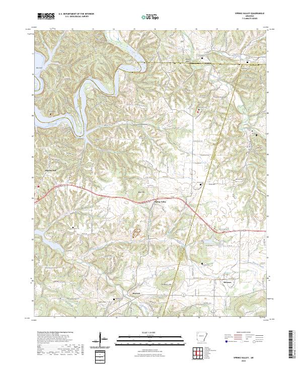 2024 Spring Valley2024 Print · USGSIn the highlands of Washington County during the early twenty-first century, the landscape remains shaped by its river valleys and family settlements. Genealogists can trace local roots through numerous sites like Austin Cem, Mayfield Cem, and the communities of Spring Valley and Whitener.
End of results
Showing maps 1-15 of 15
Top cities near Pilgrims Rest
- Fayetteville historical maps
- Springdale historical maps
- Rogers historical maps
- Bentonville historical maps
- Lowell historical maps
- Johnson historical maps
See more
Frequently asked questions
- What are the different types of historical maps available for Pilgrims Rest?
- What is the oldest map of Pilgrims Rest?
- Where can I purchase historical maps of Pilgrims Rest for my home or office?
- Where can I download high-res historical maps of Pilgrims Rest?
- Are there historical topographic maps available for Pilgrims Rest?
- Is there historical aerial imagery available for Pilgrims Rest?
- Where are historical maps of Pilgrims Rest sourced from?