Old Maps of Washington County, Arkansas
Explore 64 old maps of Washington County, spanning from 1898 to today. These high-resolution historic maps reveal how streets, neighborhoods, landmarks, and natural features evolved over time — perfect for genealogy, metal detecting, research, and local history exploration.
What you can do with these maps:
- See how Washington County changed over time: Compare historical maps to modern-day views to trace roads, homesites, rail lines & more.
- View detailed metadata: Each map includes creators, publishers, year, scale, and archive source.
- Overlay maps with satellite & LiDAR: Visualize the past alongside modern tools to explore terrain & human change.
- Trusted historical sources: Maps sourced from the USGS, Library of Congress, and other archives.
- Access maps your way: View online, download high-res files, or order prints for personal or research use.
Start exploring old maps of Washington County to uncover forgotten places, hidden landmarks, and the deep history beneath your feet.
Washington County, AR maps
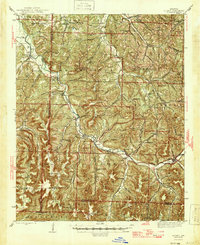
(64)- 1898 Map of Tahlequah, 1954 Print
 1898 Tahlequah1954 Print · USGSCovers Washington County, including Tahlequah, Stilwell, and other nearby areas
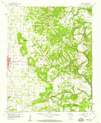
 - 1898 Map of Winslow, 1954 Print
 1898 Winslow1954 Print · USGSCovers Washington County, including Fayetteville, Farmington, and other nearby areas
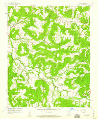
 - 1899 Map of Fayetteville, 1954 Print
 1899 Fayetteville1954 Print · USGSCovers Washington County, including Fayetteville, Springdale, and other nearby areas
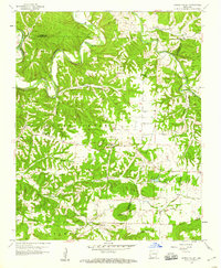
 - 1899 Map of Siloam Springs, 1954 Print
 1899 Siloam Springs1954 Print · USGSCovers Washington County, including Siloam Springs, Jay, and other nearby areas
 - 1900 Map of Eureka Springs, 1954 Print
 1900 Eureka Springs1954 Print · USGSCovers Washington County, including Berryville, Huntsville, and other nearby areas
 - 1901 Map of Winslow
 1901 Winslow1901 Print · USGSCovers Washington County, including Fayetteville, Farmington, and other nearby areas6 unique versions available
 - 1901 Map of Eureka Springs
 1901 Eureka Springs1901 Print · USGSCovers Washington County, including Berryville, Huntsville, and other nearby areas3 unique versions available
 - 1901 Map of Fayetteville
 1901 Fayetteville1901 Print · USGSCovers Washington County, including Fayetteville, Springdale, and other nearby areas4 unique versions available
 - 1901 Map of Tahlequah
 1901 Tahlequah1901 Print · USGSCovers Washington County, including Tahlequah, Stilwell, and other nearby areas7 unique versions available
 - 1903 Map of Siloam Springs, 1904 Print
 1903 Siloam Springs1904 Print · USGSCovers Washington County, including Siloam Springs, Jay, and other nearby areas
 - 1904 Map of Siloam Springs
 1904 Siloam Springs1904 Print · USGSCovers Washington County, including Siloam Springs, Jay, and other nearby areas7 unique versions available
 - 1904 Map of Fayetteville
 1904 Fayetteville1904 Print · USGSCovers Washington County, including Fayetteville, Springdale, and other nearby areas
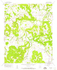
 - 1943 Map of St. Paul, 1956 Print
 1943 St. Paul1956 Print · USGSCovers Washington County, including Saint Paul, Delaney, and other nearby areas5 unique versions available
 - 1945 Map of Harrison
 1945 Harrison1945 Print · USGSCovers Washington County, including Ozark, Harrison, and other nearby areas
 - 1946 Map of St. Paul
 1946 St. Paul1946 Print · USGSCovers Washington County, including Saint Paul, Delaney, and other nearby areas2 unique versions available
 - 1946 Map of Fort Smith
 1946 Fort Smith1946 Print · USGSCovers Washington County, including Tulsa, Fayetteville, and other nearby areas
 - 1949 Map of Harrison
 1949 Harrison1949 Print · USGSCovers Washington County, including Ozark, Harrison, and other nearby areas
 - 1954 Map of Harrison
 1954 Harrison1954 Print · USGSCovers Washington County, including Ozark, Harrison, and other nearby areas
 - 1954 Map of Tulsa
 1954 Tulsa1954 Print · USGSCovers Washington County, including Tulsa, Broken Arrow, and other nearby areas2 unique versions available
 - 1956 Map of Russellville
 1956 Russellville1956 Print · USGSCovers Washington County, including Conway, Russellville, and other nearby areas2 unique versions available
 - 1958 Map of Sonora, 1959 Print
 1958 Sonora1959 Print · USGSCovers Washington County, including Fayetteville, Springdale, and other nearby areas4 unique versions available
 - 1958 Map of Goshen, 1959 Print
 1958 Goshen1959 Print · USGSCovers Washington County, including Goshen, Mount Olive, and other nearby areas3 unique versions available
 - 1958 Map of Spring Valley, 1959 Print
 1958 Spring Valley1959 Print · USGSCovers Washington County, including Goshen, Mayfield, and other nearby areas3 unique versions available
 - 1958 Map of Fayetteville, 1959 Print
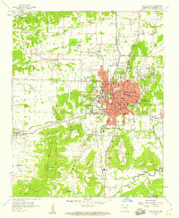 1958 Fayetteville1959 Print · USGSCovers Washington County, including Fayetteville, Farmington, and other nearby areas4 unique versions available
 - 1958 Map of Elkins, 1959 Print
 1958 Elkins1959 Print · USGSCovers Washington County, including Fayetteville, Elkins, and other nearby areas3 unique versions available
Showing maps 1-25 of 64
Top cities of Washington County
- Fayetteville historical maps
- Farmington historical maps
- Prairie Grove historical maps
- Johnson historical maps
- Elm Springs historical maps
- West Fork historical maps
See more
Frequently asked questions
- What are the different types of historical maps available for Washington County?
- What is the oldest map of Washington County?
- Where can I purchase historical maps of Washington County for my home or office?
- Where can I download high-res historical maps of Washington County?
- Are there historical topographic maps available for Washington County?
- Is there historical aerial imagery available for Washington County?
- Where are historical maps of Washington County sourced from?