Old Maps of Beebe, Arkansas for Hiking & Exploration
Hike through history with 16 historic maps of Beebe. Explore old trails, ghost towns, and forgotten backroads — perfect for outdoor adventurers and local explorers.
- Rediscover forgotten places: Map out old mining camps, roads, and footpaths that no longer exist on modern maps.
- Layer with modern tools: Combine with LiDAR or satellite views to plan hikes through historical terrain.
- Made for exploration: Popular among hikers, overlanders, and local history lovers.
Use these maps to find adventure and explore the hidden past of Beebe.
Beebe, AR maps
(16)- 1953 Map of Memphis, 1966 Print
 1953 Memphis1966 Print · USGSEastern Arkansas and the Memphis riverfront are shown here during the mid-century period of regional growth and river management. Local historians can trace the paths of the Chicago Rock Island & Pacific RR through Forrest City or locate river landmarks like President's Island.3 unique versions available
 - 1956 Map of Memphis
 1956 Memphis1956 Print · USGSThe Mississippi Delta and the bluffs of West Tennessee meet in the mid-fifties, showing a landscape defined by massive river systems and rail hubs. Researchers can trace the path of Crowleys Ridge or locate vanished river landings near Centennial Island and Island No 35.
 - 1963 Map of Beebe, 1964 Print
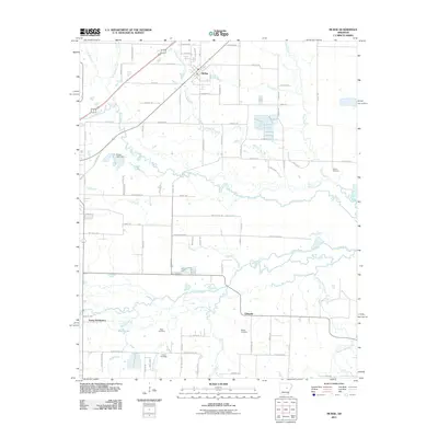
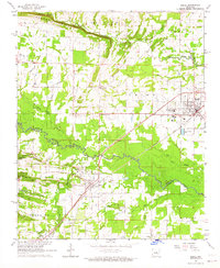 1963 Beebe1964 Print · USGSBeebe and the surrounding Lonoke and White County borderlands are captured here in the early sixties as the railroad era transitioned into the modern age. Genealogists can trace family landmarks like Stony Point Cem, Apple Hill Ch, and Union Valley Ch.3 unique versions available
 - 1963 Map of Mc Rae, 1964 Print
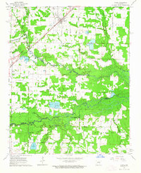 1963 Mc Rae1964 Print · USGSThe rail-and-creek landscape of White County comes into focus in the early sixties as the Missouri Pacific connects McRae and Beebe. Local researchers can trace family roots at Bass Cem or Green Cem and locate community landmarks like Harrison Chapel.3 unique versions available
 - 1986 Map of Searcy
 1986 Searcy1986 Print · USGSWhite County and its neighbors reached a period of established agricultural and rail prosperity by the mid-1980s. Local researchers can trace the routes of the Missouri Pacific RR and locate rural communities like Velvet Ridge, Sunnydale, and Cotton Plant.2 unique versions available
 - 1994 Map of Beebe
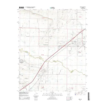
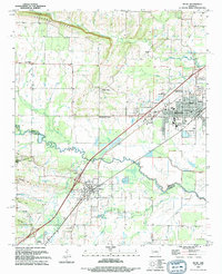 1994 Beebe1994 Print · USGSThe rail-and-river corridor of central Arkansas comes into focus in the mid-1990s as the town of Beebe expands. Genealogists and historians can locate dozens of landmarks including the Dunkard Brethren Cemetery, Stony Point, and the Beebe Speedway.
 - 2011 Map of Beebe, 2011 Print
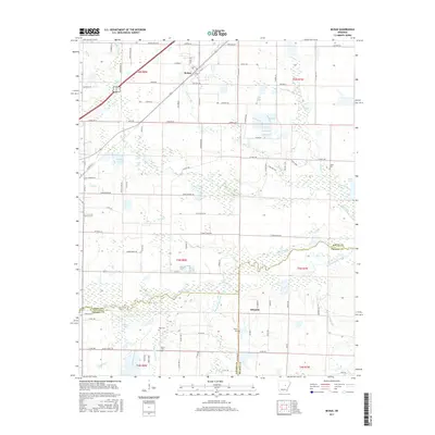
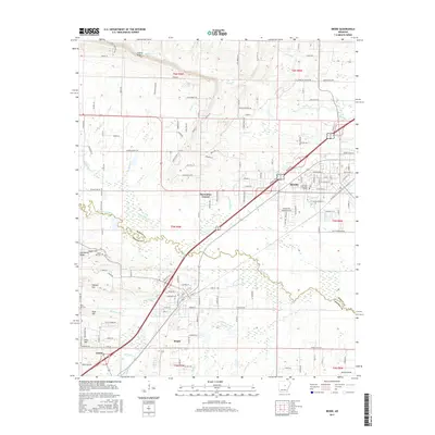
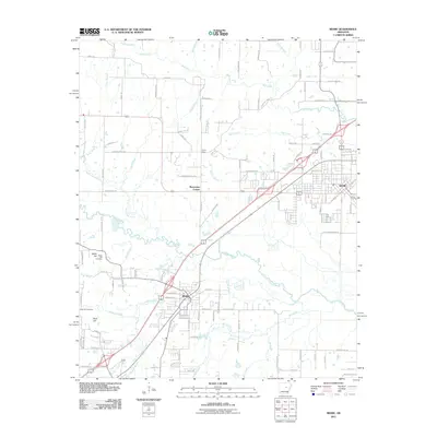 2011 Beebe2011 Print · USGSCovers Beebe, including Ward, Austin, and other nearby areas
 - 2011 Map of McRae, 2011 Print
 2011 McRae2011 Print · USGSCovers Beebe, including McRae, Young Subdivision, and other nearby areas
 - 2014 Map of Beebe, 2014 Print
 2014 Beebe2014 Print · USGSCovers Beebe, including Ward, Austin, and other nearby areas
 - 2014 Map of McRae, 2014 Print
 2014 McRae2014 Print · USGSCovers Beebe, including McRae, Young Subdivision, and other nearby areas
 - 2017 Map of McRae, 2017 Print
 2017 McRae2017 Print · USGSCovers Beebe, including McRae, Young Subdivision, and other nearby areas
 - 2017 Map of Beebe, 2017 Print
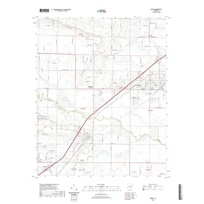
 2017 Beebe2017 Print · USGSCovers Beebe, including Ward, Austin, and other nearby areas
 - 2020 Map of McRae, 2020 Print
 2020 McRae2020 Print · USGSCovers Beebe, including McRae, Young Subdivision, and other nearby areas
 - 2020 Map of Beebe, 2020 Print
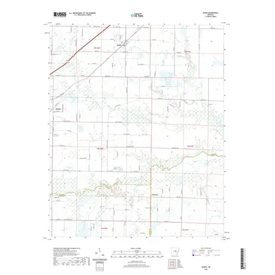
 2020 Beebe2020 Print · USGSCovers Beebe, including Ward, Austin, and other nearby areas
 - 2024 Map of Beebe, 2024 Print
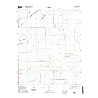
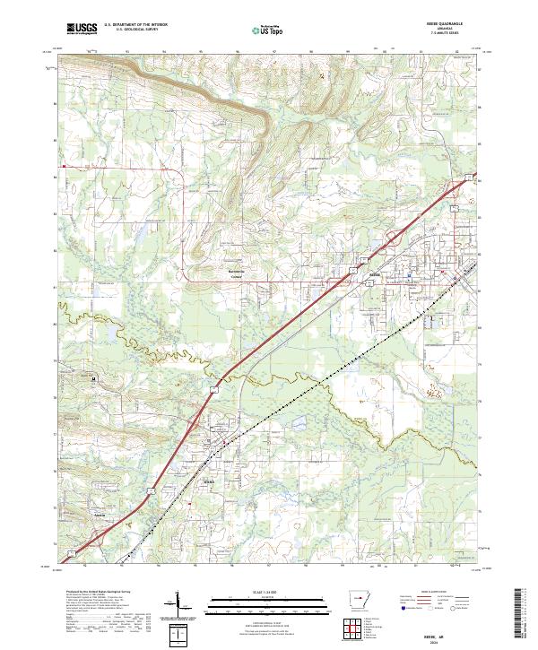 2024 Beebe2024 Print · USGSCentral Arkansas at the start of the 2020s shows a landscape where historic rural settlements meet modern regional growth. Researchers can locate family landmarks like Apple Hill Cem, the campus of Arkansas State University Beebe, and early crossroads at Barentine Corner.
 - 2024 Map of McRae, 2024 Print
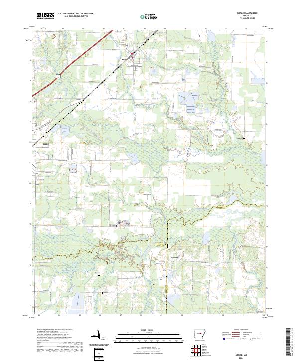 2024 McRae2024 Print · USGSWhite County settlements and the lowlands of the Arkansas delta converge in this modern survey. Researchers can trace family sites at Bass Cem and Cheek Cem or follow the path of the Union Pacific Railroad through McRae and Beebe.
End of results
Showing maps 1-16 of 16
Top cities near Beebe
- North Little Rock historical maps
- Jacksonville historical maps
- Cabot historical maps
- Searcy historical maps
- Ward historical maps
- Kensett historical maps
See more
Top neighborhoods of Beebe
Frequently asked questions
- What are the different types of historical maps available for Beebe?
- What is the oldest map of Beebe?
- Where can I purchase historical maps of Beebe for my home or office?
- Where can I download high-res historical maps of Beebe?
- Are there historical topographic maps available for Beebe?
- Is there historical aerial imagery available for Beebe?
- Where are historical maps of Beebe sourced from?