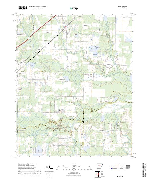
2024 Map of McRae
USGS Topo · Published 2024About this map
The McRae and eastern Beebe area is defined by the heavy riparian network of Cypress Bayou and its numerous tributaries. This landscape transition highlights the intersection of central Arkansas rail commerce and the wet lowlands of the Mississippi Alluvial Plain. The Union Pacific Railroad serves as a primary corridor through the settlements, running parallel to the old highway routes. Local genealogy is well-supported by family-named landmarks and resting places such as Cheek Cem, Bass Cem, and the Bryles Family Cem. The abundance of named water features like Pigeon Roost Creek, Long Creek, and Kinley Lake suggests a history of drainage management and land use shaped by seasonal flooding and agriculture near the White and Prairie County line.
Find a feature on this map
91 named features on this map. Tap any name to fly to it.
Don’t see what you’re looking for? This feature index may not catch every label — zoom into the map to look around manually.
Map Details
Editions of this 2024 McRae Map
This is the sole edition of this map. No revisions or reprints were ever made.
Other maps of this area

1932 · Kensett
USGS Topo · 1:62,500

1935 · Kensett
USGS Topo · 1:62,500

1935 · Hazen
USGS Topo · 1:62,500

1940 · Lonoke
USGS Topo · 1:62,500

1941 · Hazen
USGS Topo · 1:62,500

1948 · Helena
USGS Topo · 1:250,000

1949 · Lonoke
USGS Topo · 1:62,500

1950 · Helena
USGS Topo · 1:250,000

1950 · Lonoke
USGS Topo · 1:62,500

1953 · Memphis
USGS Topo · 1:250,000