2000s (21st Century) Maps of Griffithville, Arkansas
Explore 10 historic maps of Griffithville from the 2000s (21st Century). These maps offer a rare glimpse into what life looked like during the 2000s — showing old roads, neighborhoods, homes, and landmarks that have changed or disappeared over time.
Whether you're researching your family's past, planning a metal detecting trip, or studying how Griffithville's landscape evolved across the 2000s, these high-resolution maps are a powerful tool for exploring the history of this region.
- Focus on a specific era: All maps on this page are from the 2000s, giving you a focused view of this time period.
- See what’s changed: Compare century-old streets, trails, and buildings to today's modern landscape using overlays and satellite layers.
- Research with precision: Use these maps for genealogy, historical research, land use analysis, or educational projects.
- View, download, or print: Maps are fully viewable online in high resolution, and can be downloaded or printed for your own records.
Start exploring Griffithville's history through authentic maps from the 2000s. This is your window into the past.
Griffithville, AR maps
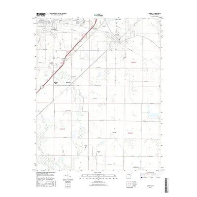
(10)- 2011 Map of Kensett, 2011 Print
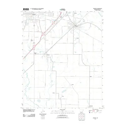 2011 Kensett2011 Print · USGSCovers Griffithville, including Searcy, Kensett, and other nearby areas
 - 2011 Map of Walker, 2011 Print
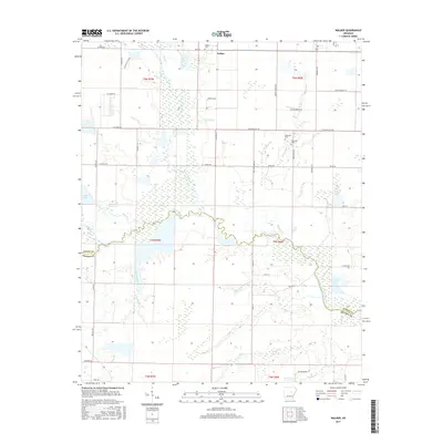
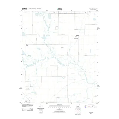 2011 Walker2011 Print · USGSCovers Griffithville, including Walker, Dogwood, and other nearby areas
 - 2014 Map of Walker, 2014 Print
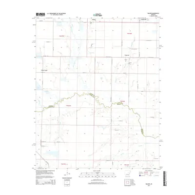 2014 Walker2014 Print · USGSCovers Griffithville, including Walker, Dogwood, and other nearby areas
 - 2014 Map of Kensett, 2014 Print
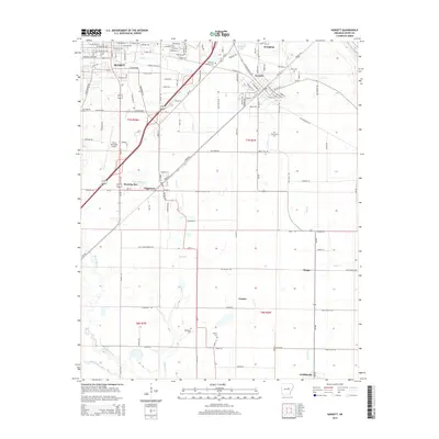 2014 Kensett2014 Print · USGSCovers Griffithville, including Searcy, Kensett, and other nearby areas
 - 2017 Map of Walker, 2017 Print
 2017 Walker2017 Print · USGSCovers Griffithville, including Walker, Dogwood, and other nearby areas
 - 2017 Map of Kensett, 2017 Print
 2017 Kensett2017 Print · USGSCovers Griffithville, including Searcy, Kensett, and other nearby areas
 - 2020 Map of Walker, 2020 Print
 2020 Walker2020 Print · USGSCovers Griffithville, including Walker, Dogwood, and other nearby areas
 - 2020 Map of Kensett, 2020 Print
 2020 Kensett2020 Print · USGSCovers Griffithville, including Searcy, Kensett, and other nearby areas
 - 2024 Map of Walker, 2024 Print
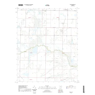
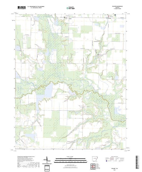 2024 Walker2024 Print · USGSWhite and Prairie Counties are captured here in the early 2020s, showing the rural communities and complex wetlands of the Arkansas Delta. You can trace family history at Walker Cem and Old Dogwood Cem or follow the meandering Bayou Des Arc.
 - 2024 Map of Kensett, 2024 Print
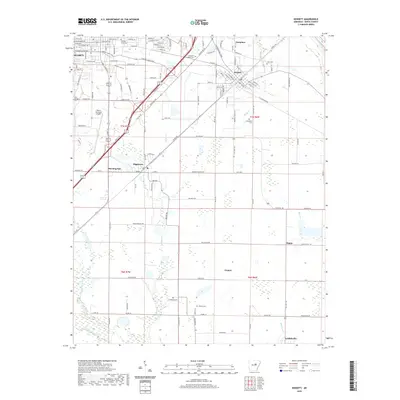
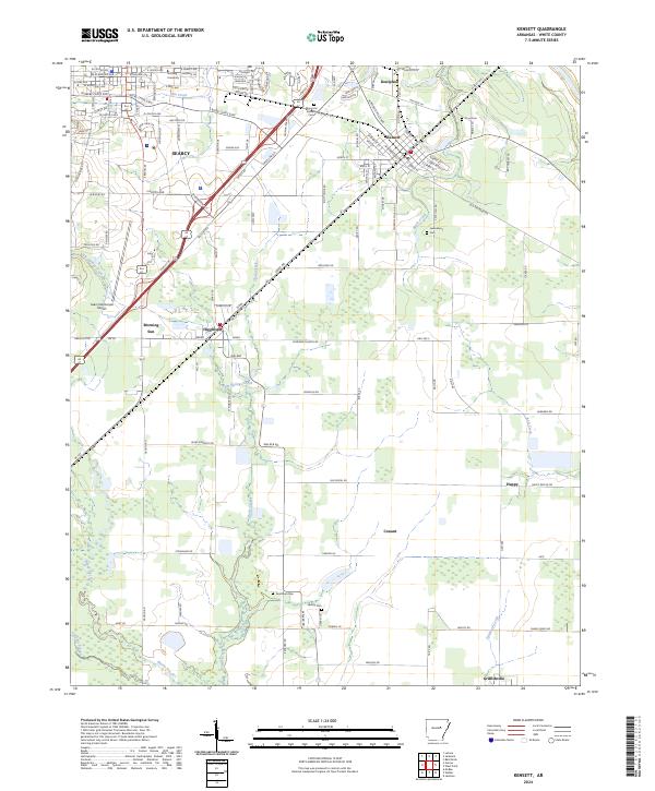 2024 Kensett2024 Print · USGSWhite County enters the mid-2020s as a blend of university influence, aviation, and deep-rooted agricultural hamlets. Researchers can trace family history through sites like Goodman Cem or explore the corridors connecting Kensett, Higginson, and Morning Sun.
End of results
Showing maps 1-10 of 10
Top cities near Griffithville
- Searcy historical maps
- Beebe historical maps
- Bald Knob historical maps
- Judsonia historical maps
- Des Arc historical maps
- Kensett historical maps
See more
Frequently asked questions
- What are the different types of historical maps available for Griffithville?
- What is the oldest map of Griffithville?
- Where can I purchase historical maps of Griffithville for my home or office?
- Where can I download high-res historical maps of Griffithville?
- Are there historical topographic maps available for Griffithville?
- Is there historical aerial imagery available for Griffithville?
- Where are historical maps of Griffithville sourced from?