Old Maps of Searcy, Arkansas for Metal Detecting
Plan your next treasure hunt with 33 historic maps of Searcy. Find old homesites, ghost towns, trails, and gathering spots that may be lost to time — perfect for identifying promising metal detecting locations.
- Locate forgotten sites: Uncover places like long-lost settlements, abandoned rail lines, or gathering spots.
- Plan better hunts: Use map overlays combined with LiDAR or satellite views to narrow in on historically rich areas.
- Made for detectorists: Thousands of hobbyists use these maps to discover relics, coins, and hidden history.
Use these historic maps to boost your research and find new opportunities beneath the surface of Searcy.
Searcy, AR maps
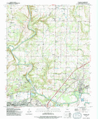
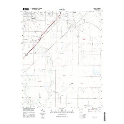
(33)- 1932 Map of Kensett
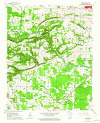
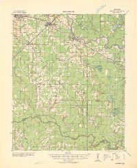 1932 Kensett1932 Print · USGSWhite County in the early thirties is a bustling corridor of rail activity and river commerce. Genealogists and local historians can trace family-named sites across the bottomlands, including Dogwood Ch & Cem, Holloway Sch, and the junction at Kensett.
 - 1935 Map of Kensett
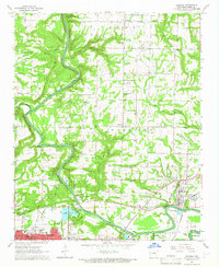
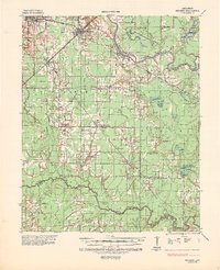 1935 Kensett1935 Print · USGSWhite County in the mid-1930s was defined by the winding Little Red River and a busy network of Missouri Pacific rail lines. Local historians can locate vanished community landmarks like Holloway Sch, Egbert Cem, and the village of Griffithville.2 unique versions available
 - 1935 Map of Bald Knob, 1963 Print
 1935 Bald Knob1963 Print · USGSWhite County during the mid-1930s is defined by its rail-linked towns and the winding Little Red River. Researchers can trace numerous vanished landmarks, from the Seven Day Sch and Big Four Sch to the Missouri Pacific Railroad corridor.
 - 1953 Map of Memphis, 1966 Print
 1953 Memphis1966 Print · USGSEastern Arkansas and the Memphis riverfront are shown here during the mid-century period of regional growth and river management. Local historians can trace the paths of the Chicago Rock Island & Pacific RR through Forrest City or locate river landmarks like President's Island.3 unique versions available
 - 1956 Map of Memphis
 1956 Memphis1956 Print · USGSThe Mississippi Delta and the bluffs of West Tennessee meet in the mid-fifties, showing a landscape defined by massive river systems and rail hubs. Researchers can trace the path of Crowleys Ridge or locate vanished river landings near Centennial Island and Island No 35.
 - 1962 Map of Letona, 1964 Print
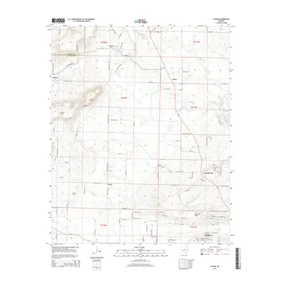
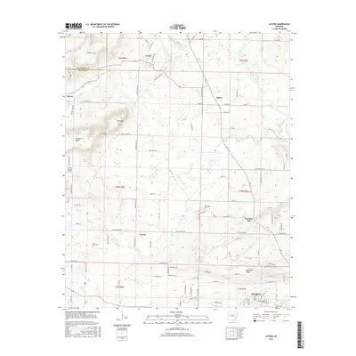
 1962 Letona1964 Print · USGSIn the early sixties, this portion of White County remained a landscape of small settlements and traditional rural life. Genealogists can trace family footprints at New Hope Cem, the Morris Institute, or the remote community of Albion.3 unique versions available
 - 1963 Map of Garner, 1964 Print
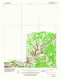
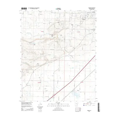
 1963 Garner1964 Print · USGSWhite County in the early sixties shows a landscape of prominent ridges and bottomlands along the Missouri Pacific Railroad. Genealogists and historians can locate the Garner Sch, the Weir Cem, and several rural churches including Honey Hill Ch.3 unique versions available
 - 1964 Map of Kensett, 1965 Print
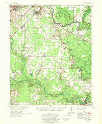
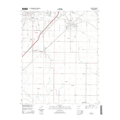
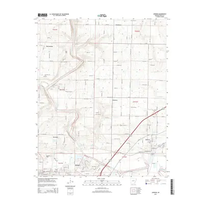
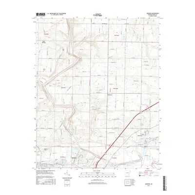
 1964 Kensett1965 Print · USGSWhite County enters the mid-sixties with the bustling hub of SEARCY and its Harding College campus set against a rail-driven countryside. Local researchers can trace family landmarks and cemeteries like Lessenberry Cem and Liberty Cem or follow the Missouri Pacific line.3 unique versions available
 - 1965 Map of Judsonia, 1966 Print
 1965 Judsonia1966 Print · USGSWhite County during the mid-sixties shows a landscape shaped by the winding Little Red River and the busy Missouri Pacific rail line. Genealogists can locate family landmarks like Holly Springs Cem, Oakdale Ch, and the original street layouts of Searcy and Judsonia.3 unique versions available
 - 1967 Map of Kensett
 1967 Kensett1967 Print · USGSWhite County, Arkansas, comes to life in this mid-century survey as the regional rail network and the Little Red River shape the local economy. Researchers can locate family landmarks like Ellis Chapel, Liberty Cem, and the old Gravel Pits south of Searcy.
 - 1986 Map of Searcy
 1986 Searcy1986 Print · USGSWhite County and its neighbors reached a period of established agricultural and rail prosperity by the mid-1980s. Local researchers can trace the routes of the Missouri Pacific RR and locate rural communities like Velvet Ridge, Sunnydale, and Cotton Plant.2 unique versions available
 - 1994 Map of Kensett
 1994 Kensett1994 Print · USGSWhite County’s late-century landscape is defined by the intersection of rail lines and emerging educational centers. Researchers can trace family ties through Lessenberry Cem and Ellis Chapel or locate historic structures near Harding College and Morning Sun.
 - 1994 Map of Judsonia
 1994 Judsonia1994 Print · USGSWhite County life in the mid-1990s is captured here, centered on the Little Red River and the growing communities of Judsonia and SEARCY. Genealogists can locate numerous landmarks including Evergreen Cem, Holly Springs Ch, and Plainview.
 - 2011 Map of Kensett, 2011 Print
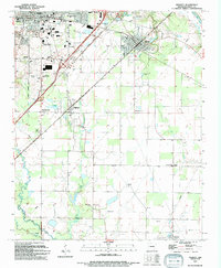
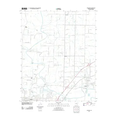
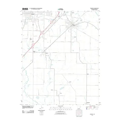 2011 Kensett2011 Print · USGSCovers Searcy, including Kensett, Higginson, and other nearby areas
 - 2011 Map of Letona, 2011 Print
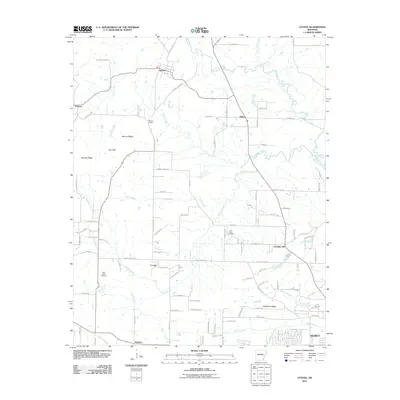 2011 Letona2011 Print · USGSCovers Searcy, including Letona, Smyrna, and other nearby areas
 - 2011 Map of Garner, 2011 Print
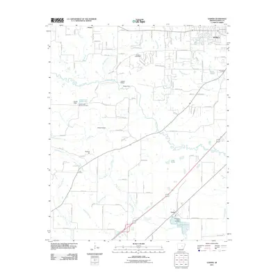 2011 Garner2011 Print · USGSCovers Searcy, including Garner, White County, and other nearby areas
 - 2011 Map of Judsonia, 2011 Print
 2011 Judsonia2011 Print · USGSCovers Searcy, including Judsonia, Bee Rock, and other nearby areas
 - 2014 Map of Letona, 2014 Print
 2014 Letona2014 Print · USGSCovers Searcy, including Letona, Smyrna, and other nearby areas
 - 2014 Map of Garner, 2014 Print
 2014 Garner2014 Print · USGSCovers Searcy, including Garner, White County, and other nearby areas
 - 2014 Map of Kensett, 2014 Print
 2014 Kensett2014 Print · USGSCovers Searcy, including Kensett, Higginson, and other nearby areas
 - 2014 Map of Judsonia, 2014 Print
 2014 Judsonia2014 Print · USGSCovers Searcy, including Judsonia, Bee Rock, and other nearby areas
 - 2017 Map of Garner, 2017 Print
 2017 Garner2017 Print · USGSCovers Searcy, including Garner, White County, and other nearby areas
 - 2017 Map of Kensett, 2017 Print
 2017 Kensett2017 Print · USGSCovers Searcy, including Kensett, Higginson, and other nearby areas
 - 2017 Map of Letona, 2017 Print
 2017 Letona2017 Print · USGSCovers Searcy, including Letona, Smyrna, and other nearby areas
 - 2017 Map of Judsonia, 2017 Print
 2017 Judsonia2017 Print · USGSCovers Searcy, including Judsonia, Bee Rock, and other nearby areas
Showing maps 1-25 of 33
Top cities near Searcy
- Beebe historical maps
- Ward historical maps
- Bald Knob historical maps
- Judsonia historical maps
- Kensett historical maps
- McRae historical maps
See more
Top neighborhoods of Searcy
- Benson Plaza historical maps
- C. L. Kay Plaza historical maps
- Legacy Park historical maps
- Cloverdale historical maps
- Harding Park historical maps
- River Oaks historical maps
Frequently asked questions
- What are the different types of historical maps available for Searcy?
- What is the oldest map of Searcy?
- Where can I purchase historical maps of Searcy for my home or office?
- Where can I download high-res historical maps of Searcy?
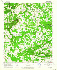
- Are there historical topographic maps available for Searcy?
- Is there historical aerial imagery available for Searcy?
- Where are historical maps of Searcy sourced from?