2000s (21st Century) Maps of Searcy, Arkansas
Explore 20 historic maps of Searcy from the 2000s (21st Century). These maps offer a rare glimpse into what life looked like during the 2000s — showing old roads, neighborhoods, homes, and landmarks that have changed or disappeared over time.
Whether you're researching your family's past, planning a metal detecting trip, or studying how Searcy's landscape evolved across the 2000s, these high-resolution maps are a powerful tool for exploring the history of this region.
- Focus on a specific era: All maps on this page are from the 2000s, giving you a focused view of this time period.
- See what’s changed: Compare century-old streets, trails, and buildings to today's modern landscape using overlays and satellite layers.
- Research with precision: Use these maps for genealogy, historical research, land use analysis, or educational projects.
- View, download, or print: Maps are fully viewable online in high resolution, and can be downloaded or printed for your own records.
Start exploring Searcy's history through authentic maps from the 2000s. This is your window into the past.
Searcy, AR maps
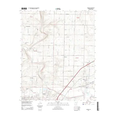
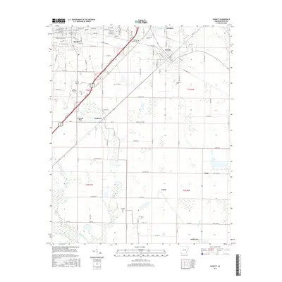
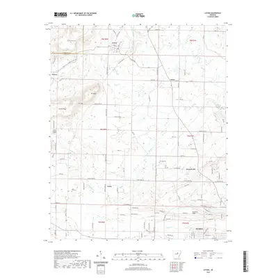
(20)- 2011 Map of Kensett, 2011 Print
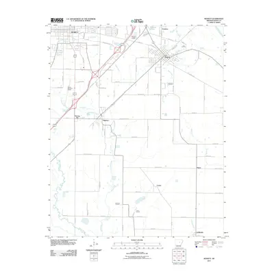 2011 Kensett2011 Print · USGSCovers Searcy, including Kensett, Higginson, and other nearby areas
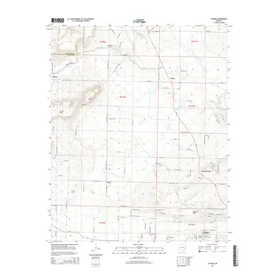
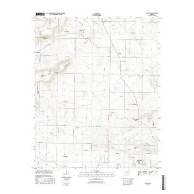
 - 2011 Map of Letona, 2011 Print
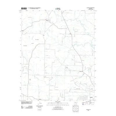 2011 Letona2011 Print · USGSCovers Searcy, including Letona, Smyrna, and other nearby areas
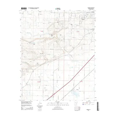
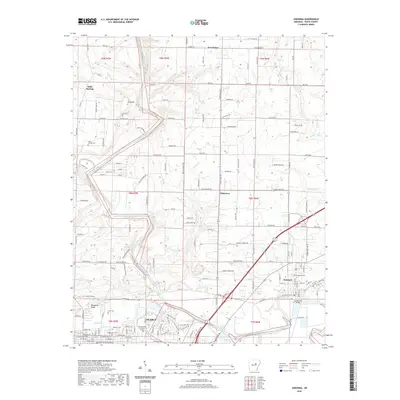
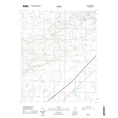
 - 2011 Map of Garner, 2011 Print
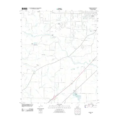 2011 Garner2011 Print · USGSCovers Searcy, including Garner, White County, and other nearby areas
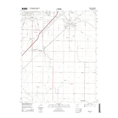
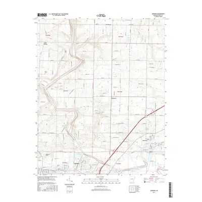
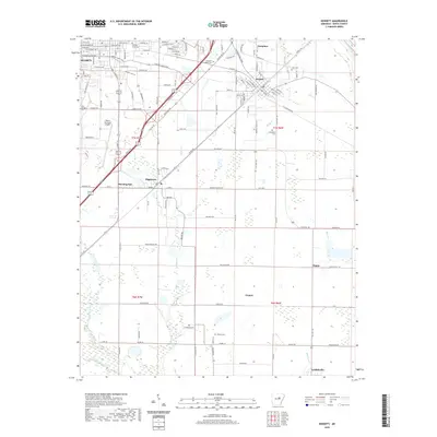
 - 2011 Map of Judsonia, 2011 Print
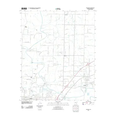 2011 Judsonia2011 Print · USGSCovers Searcy, including Judsonia, Bee Rock, and other nearby areas
 - 2014 Map of Letona, 2014 Print
 2014 Letona2014 Print · USGSCovers Searcy, including Letona, Smyrna, and other nearby areas
 - 2014 Map of Garner, 2014 Print
 2014 Garner2014 Print · USGSCovers Searcy, including Garner, White County, and other nearby areas
 - 2014 Map of Kensett, 2014 Print
 2014 Kensett2014 Print · USGSCovers Searcy, including Kensett, Higginson, and other nearby areas
 - 2014 Map of Judsonia, 2014 Print
 2014 Judsonia2014 Print · USGSCovers Searcy, including Judsonia, Bee Rock, and other nearby areas
 - 2017 Map of Garner, 2017 Print
 2017 Garner2017 Print · USGSCovers Searcy, including Garner, White County, and other nearby areas
 - 2017 Map of Kensett, 2017 Print
 2017 Kensett2017 Print · USGSCovers Searcy, including Kensett, Higginson, and other nearby areas
 - 2017 Map of Letona, 2017 Print
 2017 Letona2017 Print · USGSCovers Searcy, including Letona, Smyrna, and other nearby areas
 - 2017 Map of Judsonia, 2017 Print
 2017 Judsonia2017 Print · USGSCovers Searcy, including Judsonia, Bee Rock, and other nearby areas
 - 2020 Map of Judsonia, 2020 Print
 2020 Judsonia2020 Print · USGSCovers Searcy, including Judsonia, Bee Rock, and other nearby areas
 - 2020 Map of Letona, 2020 Print
 2020 Letona2020 Print · USGSCovers Searcy, including Letona, Smyrna, and other nearby areas
 - 2020 Map of Garner, 2020 Print
 2020 Garner2020 Print · USGSCovers Searcy, including Garner, White County, and other nearby areas
 - 2020 Map of Kensett, 2020 Print
 2020 Kensett2020 Print · USGSCovers Searcy, including Kensett, Higginson, and other nearby areas
 - 2024 Map of Letona, 2024 Print
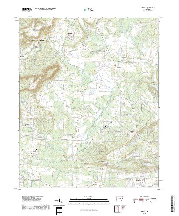 2024 Letona2024 Print · USGSWhite County, Arkansas, is captured here in the present day as a blend of rural settlements and rising ridges north of Searcy. Genealogists and local historians can locate several traditional burial sites and small communities, including Saint Pauls Cem, Albion, and the highland area of Mt Pisgah.
 - 2024 Map of Garner, 2024 Print
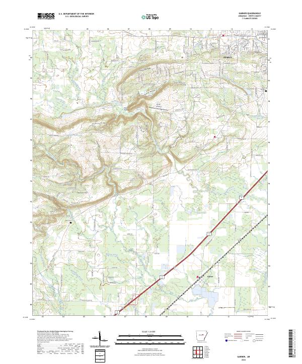 2024 Garner2024 Print · USGSWhite County, Arkansas, appears in this modern survey as a landscape of ridges and wetlands south of the county seat. Genealogists can trace family landmarks like Weir Cem, Gum Springs Cem, and the rural settlement at Garner.
 - 2024 Map of Kensett, 2024 Print
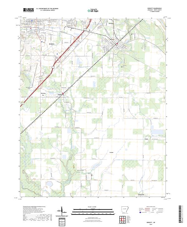 2024 Kensett2024 Print · USGSWhite County enters the mid-2020s as a blend of university influence, aviation, and deep-rooted agricultural hamlets. Researchers can trace family history through sites like Goodman Cem or explore the corridors connecting Kensett, Higginson, and Morning Sun.
 - 2024 Map of Judsonia, 2024 Print
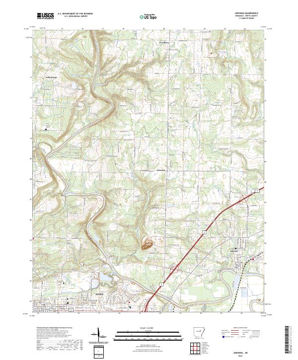 2024 Judsonia2024 Print · USGSWhite County’s river-and-rail corridor is mapped in detail during this recent 2024 survey of the central Arkansas landscape. Researchers can trace local history through cemeteries like Evergreen and Oaklawn, or locate the campus of Arkansas State University Searcy.
End of results
Showing maps 1-20 of 20
Top cities near Searcy
- Beebe historical maps
- Ward historical maps
- Bald Knob historical maps
- Judsonia historical maps
- Kensett historical maps
- McRae historical maps
See more
Top neighborhoods of Searcy
- Benson Plaza historical maps
- C. L. Kay Plaza historical maps
- Legacy Park historical maps
- Cloverdale historical maps
- Harding Park historical maps
- River Oaks historical maps
Frequently asked questions
- What are the different types of historical maps available for Searcy?
- What is the oldest map of Searcy?
- Where can I purchase historical maps of Searcy for my home or office?
- Where can I download high-res historical maps of Searcy?
- Are there historical topographic maps available for Searcy?
- Is there historical aerial imagery available for Searcy?
- Where are historical maps of Searcy sourced from?