2000s (21st Century) Maps of Augusta, Arkansas
Explore 10 historic maps of Augusta from the 2000s (21st Century). These maps offer a rare glimpse into what life looked like during the 2000s — showing old roads, neighborhoods, homes, and landmarks that have changed or disappeared over time.
Whether you're researching your family's past, planning a metal detecting trip, or studying how Augusta's landscape evolved across the 2000s, these high-resolution maps are a powerful tool for exploring the history of this region.
- Focus on a specific era: All maps on this page are from the 2000s, giving you a focused view of this time period.
- See what’s changed: Compare century-old streets, trails, and buildings to today's modern landscape using overlays and satellite layers.
- Research with precision: Use these maps for genealogy, historical research, land use analysis, or educational projects.
- View, download, or print: Maps are fully viewable online in high resolution, and can be downloaded or printed for your own records.
Start exploring Augusta's history through authentic maps from the 2000s. This is your window into the past.
Augusta, AR maps
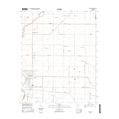
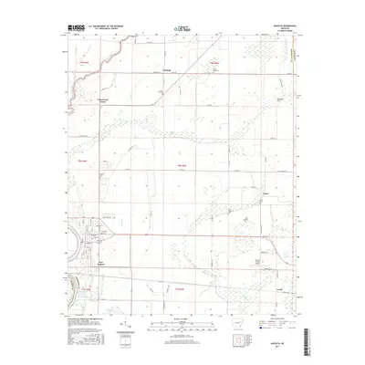
(10)- 2011 Map of Augusta, 2011 Print
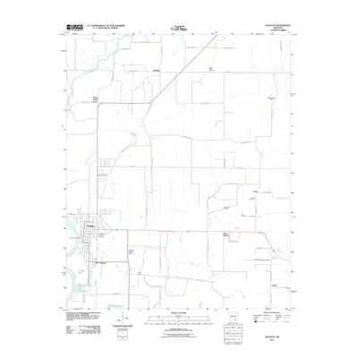 2011 Augusta2011 Print · USGSCovers Augusta, including Fitzhugh, Negro Head Corner, and other nearby areas
 - 2011 Map of Augusta SW, 2011 Print
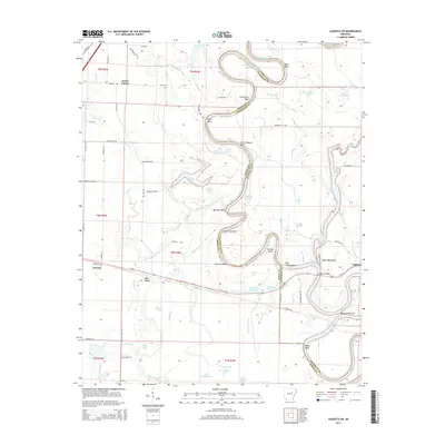
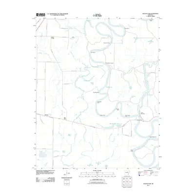 2011 Augusta SW2011 Print · USGSCovers Augusta, including Rio Vista, Worden, and other nearby areas
 - 2014 Map of Augusta, 2014 Print
 2014 Augusta2014 Print · USGSCovers Augusta, including Fitzhugh, Negro Head Corner, and other nearby areas
 - 2014 Map of Augusta SW, 2014 Print
 2014 Augusta SW2014 Print · USGSCovers Augusta, including Rio Vista, Worden, and other nearby areas
 - 2017 Map of Augusta SW, 2017 Print
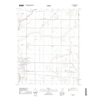
 2017 Augusta SW2017 Print · USGSCovers Augusta, including Rio Vista, Worden, and other nearby areas
 - 2017 Map of Augusta, 2017 Print
 2017 Augusta2017 Print · USGSCovers Augusta, including Fitzhugh, Negro Head Corner, and other nearby areas
 - 2020 Map of Augusta SW, 2020 Print
 2020 Augusta SW2020 Print · USGSCovers Augusta, including Rio Vista, Worden, and other nearby areas
 - 2020 Map of Augusta, 2020 Print
 2020 Augusta2020 Print · USGSCovers Augusta, including Fitzhugh, Negro Head Corner, and other nearby areas
 - 2024 Map of Augusta SW, 2024 Print
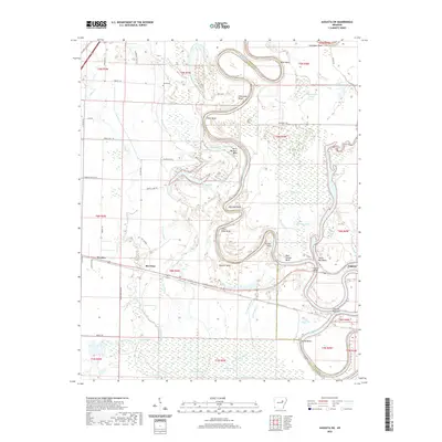
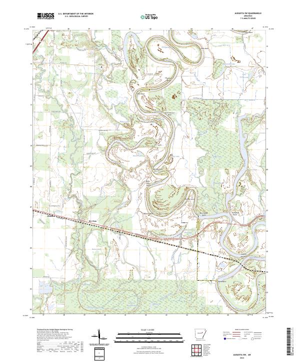 2024 Augusta SW2024 Print · USGSWhite River bottomlands in the mid-2020s remain defined by a labyrinth of oxbows and sloughs between the settlements of Worden and Rio Vista. Local researchers can trace family landmarks like Smith Cem or explore the shifting shoreline at Taylor Bay Beach and Augusta Narrows.
 - 2024 Map of Augusta, 2024 Print
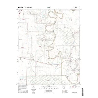
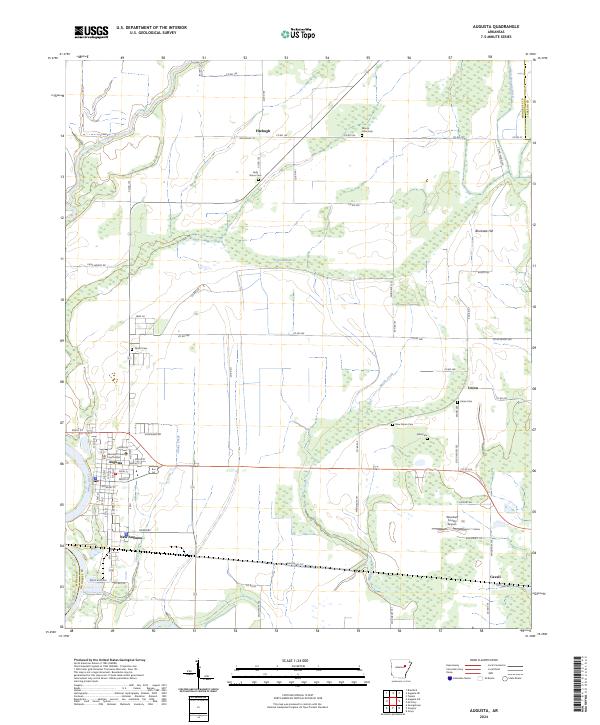 2024 Augusta2024 Print · USGSAugusta and the surrounding Woodruff County bottomlands are captured here at the bend of the White River. Researchers can trace the layout of the county seat near the Woodruff County Courthouse or locate outlying rural landmarks like Fitzhugh and the New Salem Cem.
End of results
Showing maps 1-10 of 10
Top cities near Augusta
- Bald Knob historical maps
- McCrory historical maps
- Bradford historical maps
- Patterson historical maps
- Russell historical maps
- Tupelo historical maps
See more
Top neighborhoods of Augusta
Frequently asked questions
- What are the different types of historical maps available for Augusta?
- What is the oldest map of Augusta?
- Where can I purchase historical maps of Augusta for my home or office?
- Where can I download high-res historical maps of Augusta?
- Are there historical topographic maps available for Augusta?
- Is there historical aerial imagery available for Augusta?
- Where are historical maps of Augusta sourced from?