Old Maps of Augusta, Arkansas for Hiking & Exploration
Hike through history with 18 historic maps of Augusta. Explore old trails, ghost towns, and forgotten backroads — perfect for outdoor adventurers and local explorers.
- Rediscover forgotten places: Map out old mining camps, roads, and footpaths that no longer exist on modern maps.
- Layer with modern tools: Combine with LiDAR or satellite views to plan hikes through historical terrain.
- Made for exploration: Popular among hikers, overlanders, and local history lovers.
Use these maps to find adventure and explore the hidden past of Augusta.
Augusta, AR maps
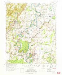
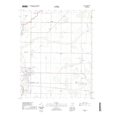
(18)- 1935 Map of Augusta, 1938 Print
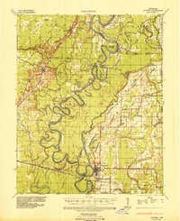 1935 Augusta1938 Print · USGSThe Arkansas Delta comes alive in the mid-1930s as the White River winds past the railroad hubs of Augusta and New Augusta. Genealogists can locate family landmarks like Spriggs Mill, Holly Grove Church, and various river landings including Hames Ferry.2 unique versions available
 - 1953 Map of Memphis, 1966 Print
 1953 Memphis1966 Print · USGSEastern Arkansas and the Memphis riverfront are shown here during the mid-century period of regional growth and river management. Local historians can trace the paths of the Chicago Rock Island & Pacific RR through Forrest City or locate river landmarks like President's Island.3 unique versions available
 - 1956 Map of Memphis
 1956 Memphis1956 Print · USGSThe Mississippi Delta and the bluffs of West Tennessee meet in the mid-fifties, showing a landscape defined by massive river systems and rail hubs. Researchers can trace the path of Crowleys Ridge or locate vanished river landings near Centennial Island and Island No 35.
 - 1957 Map of Augusta
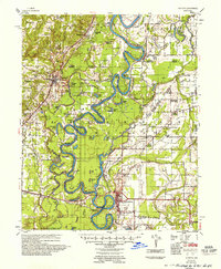 1957 Augusta1957 Print · USGSThe White River Delta in the late fifties was a network of oxbow lakes and rail-dependent river towns. Researchers can trace family roots through numerous rural landmarks like Holly Grove Ch & Cem, Old Grand Glaise, and the Woodruff Co Sch.
 - 1968 Map of Augusta, 1969 Print
 1968 Augusta1969 Print · USGSWoodruff County, Arkansas, appears in the late sixties as a thriving river-and-rail landscape centered on the historic seat of Augusta. Genealogists and local historians can trace family sites at Mt Olive Cem, Union, and the Carver Sch during this era of regional growth.2 unique versions available
 - 1968 Map of Augusta SW, 1970 Print
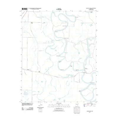
 1968 Augusta SW1970 Print · USGSThe White River bottomlands in the late sixties reveal a landscape of winding oxbows and rural rail stops. Trace the old Missouri Pacific line through Rio Vista and Worden or locate family landmarks like Smith Cem.4 unique versions available
 - 1971 Map of Augusta
 1971 Augusta1971 Print · USGSThe White River delta in the early 1970s is a maze of oxbow lakes and sloughs where rail and river networks meet. Genealogists and historians can trace rural family landmarks like Honey Grove Ch, McKnight Cem, and the old Spriggs Mill.
 - 1986 Map of Searcy
 1986 Searcy1986 Print · USGSWhite County and its neighbors reached a period of established agricultural and rail prosperity by the mid-1980s. Local researchers can trace the routes of the Missouri Pacific RR and locate rural communities like Velvet Ridge, Sunnydale, and Cotton Plant.2 unique versions available
 - 2011 Map of Augusta, 2011 Print
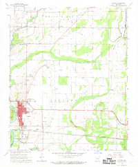
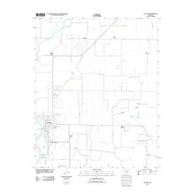 2011 Augusta2011 Print · USGSCovers Augusta, including Fitzhugh, Negro Head Corner, and other nearby areas
 - 2011 Map of Augusta SW, 2011 Print
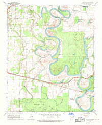
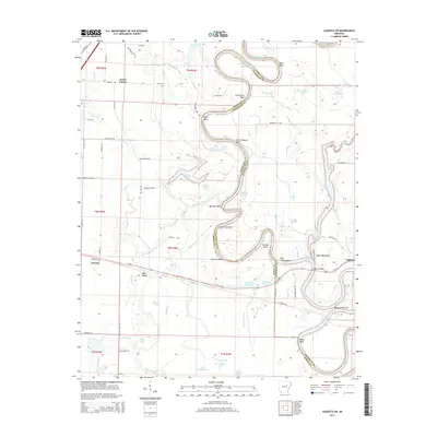
 2011 Augusta SW2011 Print · USGSCovers Augusta, including Rio Vista, Worden, and other nearby areas
 - 2014 Map of Augusta, 2014 Print
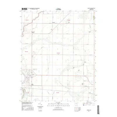
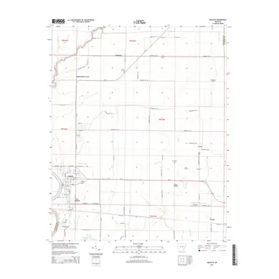 2014 Augusta2014 Print · USGSCovers Augusta, including Fitzhugh, Negro Head Corner, and other nearby areas
 - 2014 Map of Augusta SW, 2014 Print
 2014 Augusta SW2014 Print · USGSCovers Augusta, including Rio Vista, Worden, and other nearby areas
 - 2017 Map of Augusta SW, 2017 Print
 2017 Augusta SW2017 Print · USGSCovers Augusta, including Rio Vista, Worden, and other nearby areas
 - 2017 Map of Augusta, 2017 Print
 2017 Augusta2017 Print · USGSCovers Augusta, including Fitzhugh, Negro Head Corner, and other nearby areas
 - 2020 Map of Augusta SW, 2020 Print
 2020 Augusta SW2020 Print · USGSCovers Augusta, including Rio Vista, Worden, and other nearby areas
 - 2020 Map of Augusta, 2020 Print
 2020 Augusta2020 Print · USGSCovers Augusta, including Fitzhugh, Negro Head Corner, and other nearby areas
 - 2024 Map of Augusta SW, 2024 Print
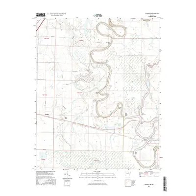
 2024 Augusta SW2024 Print · USGSWhite River bottomlands in the mid-2020s remain defined by a labyrinth of oxbows and sloughs between the settlements of Worden and Rio Vista. Local researchers can trace family landmarks like Smith Cem or explore the shifting shoreline at Taylor Bay Beach and Augusta Narrows.
 - 2024 Map of Augusta, 2024 Print
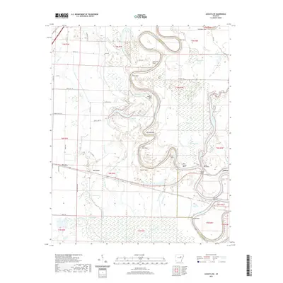
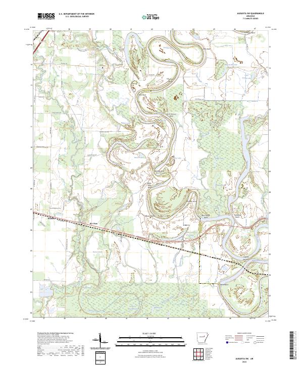
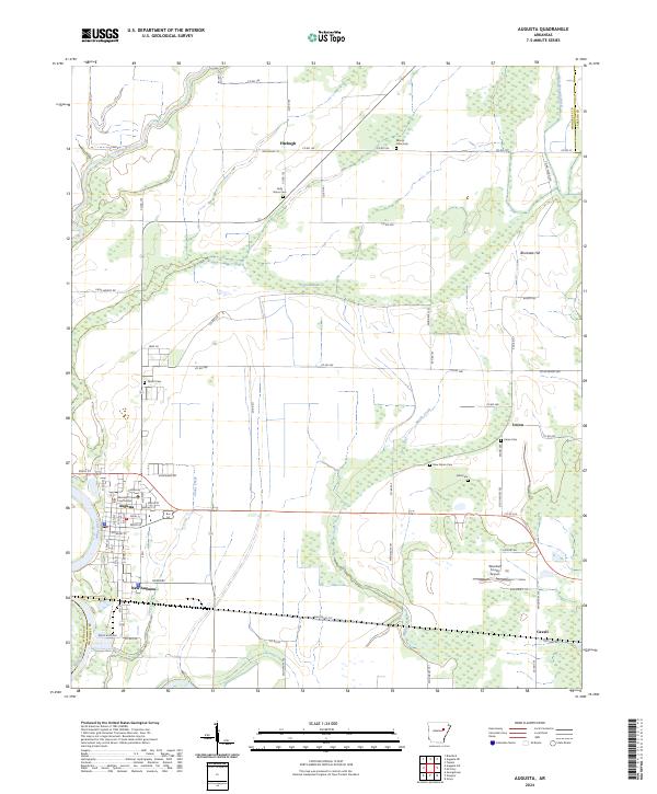 2024 Augusta2024 Print · USGSAugusta and the surrounding Woodruff County bottomlands are captured here at the bend of the White River. Researchers can trace the layout of the county seat near the Woodruff County Courthouse or locate outlying rural landmarks like Fitzhugh and the New Salem Cem.
End of results
Showing maps 1-18 of 18
Top cities near Augusta
- Bald Knob historical maps
- McCrory historical maps
- Bradford historical maps
- Patterson historical maps
- Russell historical maps
- Tupelo historical maps
See more
Top neighborhoods of Augusta
Frequently asked questions
- What are the different types of historical maps available for Augusta?
- What is the oldest map of Augusta?
- Where can I purchase historical maps of Augusta for my home or office?
- Where can I download high-res historical maps of Augusta?
- Are there historical topographic maps available for Augusta?
- Is there historical aerial imagery available for Augusta?
- Where are historical maps of Augusta sourced from?