2020s Maps of McCrory, Arkansas
Explore 4 historic maps of McCrory from the 2020s. These maps offer a rare glimpse into what life looked like during the 2020s — showing old roads, neighborhoods, homes, and landmarks that have changed or disappeared over time.
Whether you're researching your family's past, planning a metal detecting trip, or studying how McCrory's landscape evolved across the 2020s, these high-resolution maps are a powerful tool for exploring the history of this region.
- Focus on a specific era: All maps on this page are from the 2020s, giving you a focused view of this time period.
- See what’s changed: Compare century-old streets, trails, and buildings to today's modern landscape using overlays and satellite layers.
- Research with precision: Use these maps for genealogy, historical research, land use analysis, or educational projects.
- View, download, or print: Maps are fully viewable online in high resolution, and can be downloaded or printed for your own records.
Start exploring McCrory's history through authentic maps from the 2020s. This is your window into the past.
McCrory, AR maps
(4)- 2020 Map of McCrory, 2020 Print
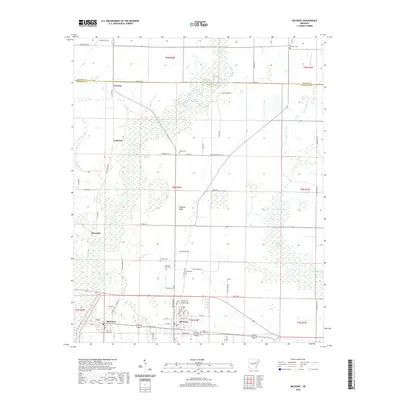 2020 McCrory2020 Print · USGSCovers McCrory, including Patterson, Overcup, and other nearby areas
 - 2020 Map of Grays, 2020 Print
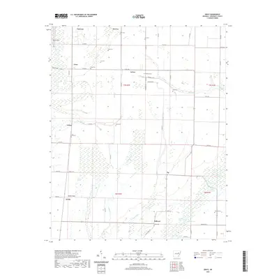 2020 Grays2020 Print · USGSCovers McCrory, including Patterson, Colona, and other nearby areas
 - 2024 Map of McCrory, 2024 Print
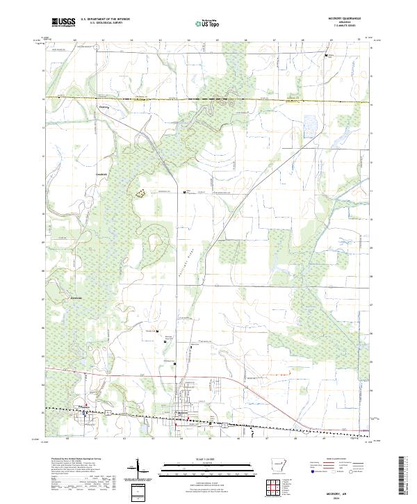 2024 McCrory2024 Print · USGSWoodruff County in the modern era is defined by the expansive Cache River National Wildlife Refuge and its surrounding agricultural plains. Researchers can locate numerous historical burial sites like Fakes Chapel Cem and Morning View Cem alongside the small-town centers of McCrory and Patterson.
 - 2024 Map of Grays, 2024 Print
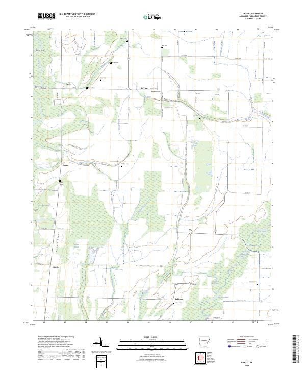 2024 Grays2024 Print · USGSWoodruff County's bottomlands are preserved in this contemporary survey of the Cache River wetlands and local farming communities. Researchers can trace family history through sites like Whitehall Cem and the small settlements of DeView and Wiville.
End of results
Showing maps 1-4 of 4
Top cities near McCrory
- Augusta historical maps
- Patterson historical maps
- Hickory Ridge historical maps
- Tupelo historical maps
- Beedeville historical maps
- Hunter historical maps
See more
Frequently asked questions
- What are the different types of historical maps available for McCrory?
- What is the oldest map of McCrory?
- Where can I purchase historical maps of McCrory for my home or office?
- Where can I download high-res historical maps of McCrory?
- Are there historical topographic maps available for McCrory?
- Is there historical aerial imagery available for McCrory?
- Where are historical maps of McCrory sourced from?