Old Maps of Grimes, California for Metal Detecting
Plan your next treasure hunt with 14 historic maps of Grimes. Find old homesites, ghost towns, trails, and gathering spots that may be lost to time — perfect for identifying promising metal detecting locations.
- Locate forgotten sites: Uncover places like long-lost settlements, abandoned rail lines, or gathering spots.
- Plan better hunts: Use map overlays combined with LiDAR or satellite views to narrow in on historically rich areas.
- Made for detectorists: Thousands of hobbyists use these maps to discover relics, coins, and hidden history.
Use these historic maps to boost your research and find new opportunities beneath the surface of Grimes.
Grimes, CA maps
(14)- 1888 Map of Marysville
 1888 Marysville1888 Print · USGSThe Sacramento Valley in the late nineteenth century was a landscape of fertile river bottoms and emerging rail towns. Researchers can trace the river economy through Moons Ferry and Eddys Ferry or locate early family holdings like Hock Farm and Butte House.
 - 1891 Map of Marysville
 1891 Marysville1891 Print · USGSThe Sacramento Valley in the late nineteenth century centers on the volcanic peaks of the Marysville Buttes. Genealogists and historians can trace pioneer landings and river crossings such as Hock Farm, Princeton Ferry, and the early street grids of Sutter City.
 - 1894 Map of Marysville
 1894 Marysville1894 Print · USGSThe Sacramento Valley in the 1890s is captured here as a landscape of river ferries and expanding rail lines. Genealogists can trace family footprints in Sutter City, identify old river crossings like Moons Ferry, or locate the historic Hock Farm.
 - 1895 Map of Marysville
 1895 Marysville1895 Print · USGSThe Sacramento Valley in the 1890s centered on the dramatic profile of the Marysville Buttes and a bustling river-and-rail economy. Researchers can trace early river crossings like Moons Ferry, the historic Hock Farm, and the early footprints of Marysville and Yuba City.6 unique versions available
 - 1911 Map of Grimes
 1911 Grimes1911 Print · USGSColusa County at the start of the century is a landscape shaped by the winding Sacramento River and its intricate slough systems. Trace early riverfront life at Grimes, locate the historic Rancheria, or follow the path of the Hannum Bridge.
 - 1954 Map of Grimes, 1955 Print
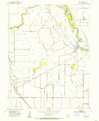 1954 Grimes1955 Print · USGSMid-century Colusa County comes to life along the river and rail lines during this 1950s survey. Researchers can trace local heritage at Grimes, the Grand Island Cemetery, and the Southern Pacific stop at Sycamore Siding.5 unique versions available
 - 1954 Map of Sutter Buttes, 1959 Print
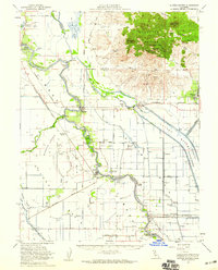 1954 Sutter Buttes1959 Print · USGSThe Sacramento Valley landscape in the mid-fifties is defined here by the volcanic profile of the Sutter Buttes and the engineered waterways of the Sutter Bypass. Genealogists and local historians can trace family roots through the Grand Island Cemetery, Winship School, and river landings like Fraziers Landing.3 unique versions available
 - 1958 Map of Chico, 1962 Print
 1958 Chico1962 Print · USGSMid-century Northern California comes to life across the Central Valley and high Sierras as the postwar economy transformed the landscape. Trace the rail lines of the Southern Pacific RR, locate family roots near Chico Cem, or explore the early layout of Paradise and Beale Air Force Base.4 unique versions available
 - 1960 Map of Chico
 1960 Chico1960 Print · USGSThe Northern California high country and Sacramento Valley meet in this 1960s-era landscape of mining towns and river settlements. Trace the rail-and-water economy of the gold country through the Empire Mine, Beale Air Force Base, and the Western Pacific Railroad.
 - 1993 Map of Yuba City, 1994 Print
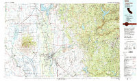 1993 Yuba City1994 Print · USGSThe Sacramento Valley and Sierra Nevada foothills meet in the 1990s, where agricultural bypasses and river networks surround the iconic Sutter Buttes. Researchers can trace the rail corridors of the Southern Pacific and Western Pacific through hubs like Marysville and Gridley.
 - 2012 Map of Grimes, 2012 Print
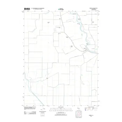 2012 Grimes2012 Print · USGSThe Sacramento River meanders past the settlement of Grimes in the early twenty-first century, shaping a landscape of fertile basins and managed waterways. Researchers can trace local roots at Grand Island Cem or locate rural landmarks like Graino and Sycamore Siding.
 - 2015 Map of Grimes, 2015 Print
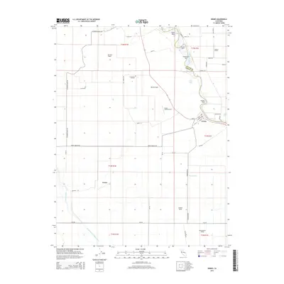 2015 Grimes2015 Print · USGSThe Sacramento River corridor and the agricultural heart of the Central Valley are revealed here in the mid-2010s. Researchers can trace rural infrastructure and family history at Grimes, Graino, and the Grand Island Cemetery.
 - 2018 Map of Grimes, 2018 Print
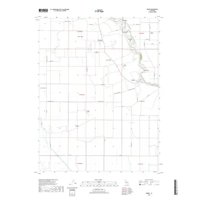 2018 Grimes2018 Print · USGSThe river town of Grimes and the surrounding agricultural basin are shown here during the late twenty-teens. Researchers can trace the complex water systems of the Sacramento River or locate historic family landmarks like Grand Island Cem and Balsdon Airport.
 - 2021 Map of Grimes, 2021 Print
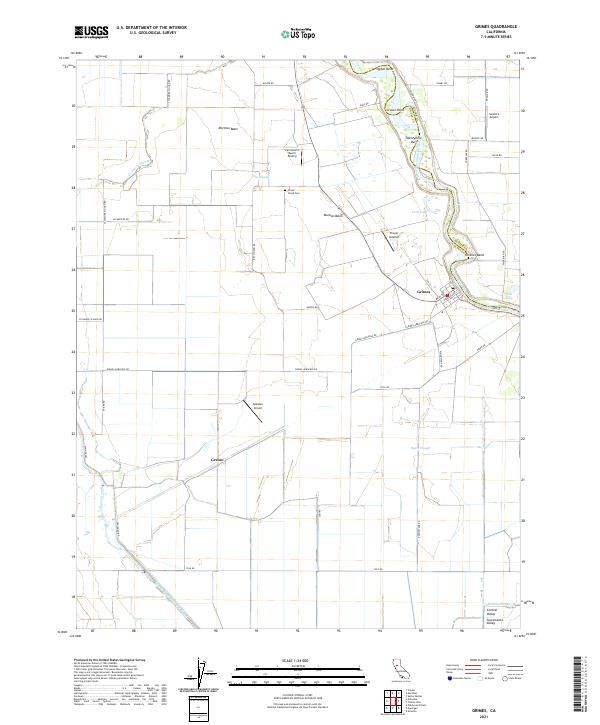 2021 Grimes2021 Print · USGSThe Sacramento River valley comes alive in this modern survey, capturing the agricultural heartland of Colusa County. You can trace family roots at Grand Island Cem or explore the river landings and local airstrips like Balsdon Airport and Farnsworth Ranch Airstrip.
End of results
Showing maps 1-14 of 14
Top cities near Grimes
Frequently asked questions
- What are the different types of historical maps available for Grimes?
- What is the oldest map of Grimes?
- Where can I purchase historical maps of Grimes for my home or office?
- Where can I download high-res historical maps of Grimes?
- Are there historical topographic maps available for Grimes?
- Is there historical aerial imagery available for Grimes?
- Where are historical maps of Grimes sourced from?