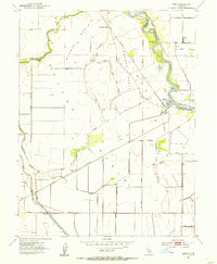
1954 Map of Grimes
USGS Topo · Published 1955About this map
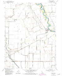
The Sacramento River defines the eastern boundary of this mid-century landscape, winding through sharp curves at Ogden Bend and Gardner Bend. The settlement of Grimes serves as a local hub on the riverbank, situated just north of the Grand Island School and the Colusa and Sutter County line. The interior land is characterized by large agricultural basins, including Mormon Basin and Jimeno Basin, which are drained by an intricate network of sloughs such as Sycamore Slough and Dry Slough.
Find a feature on this map
32 named features on this map. Tap any name to fly to it.
Don’t see what you’re looking for? This feature index may not catch every label — zoom into the map to look around manually.
Map Details
Editions of this 1954 Grimes Map
5 editions found
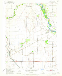
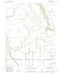
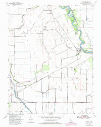
Other maps of this area

1888 · Marysville
USGS Topo · 1:125,000

1891 · Marysville
USGS Topo · 1:125,000

1894 · Marysville
USGS Topo · 1:125,000

1895 · Marysville
USGS Topo · 1:125,000

1905 · Harrington
USGS Topo · 1:24,000

1907 · Dunnigan
USGS Topo · 1:62,500

1907 · Colusa
USGS Topo · 1:62,500

1911 · Grimes
USGS Topo · 1:31,680

1912 · Marysville Buttes
USGS Topo · 1:31,680

1912 · Meridian
USGS Topo · 1:31,680