Old Maps of Hiouchi, California for Metal Detecting
Plan your next treasure hunt with 14 historic maps of Hiouchi. Find old homesites, ghost towns, trails, and gathering spots that may be lost to time — perfect for identifying promising metal detecting locations.
- Locate forgotten sites: Uncover places like long-lost settlements, abandoned rail lines, or gathering spots.
- Plan better hunts: Use map overlays combined with LiDAR or satellite views to narrow in on historically rich areas.
- Made for detectorists: Thousands of hobbyists use these maps to discover relics, coins, and hidden history.
Use these historic maps to boost your research and find new opportunities beneath the surface of Hiouchi.
Hiouchi, CA maps
(14)- 1929 Map of Crescent City
 1929 Crescent City1929 Print · USGSCoastal Del Norte County appears here during the late 1920s, showing the early infrastructure of the redwood coast. Genealogists and researchers can trace family-named sites like Bald Hill Ranch, the Tyson Chrome Mines, and the waterfront of Crescent City.
 - 1945 Map of Point St. George
 1945 Point St. George1945 Print · USGSCrescent City and the Del Norte coast are captured here mid-century, showing a landscape of timber, mines, and military outposts. Researchers can trace the Tyson Chrome Mine, find the Indian Cemetery, or locate the wartime Naval Airport.
 - 1949 Map of Eureka
 1949 Eureka1949 Print · USGSCoastal Northern California in the late 1940s shows a landscape of timber towns and maritime outposts. You can trace the Northwestern Pacific rail line through Eureka or locate family landmarks like the Tyson Chrome Mine and Crescent City Lighthouse.2 unique versions available
 - 1952 Map of Crescent City, 1954 Print
 1952 Crescent City1954 Print · USGSCoastal Del Norte County appears here in the early fifties, from the Oregon border down to the streets of Crescent City. Genealogists and historians can trace indigenous sites like Yontocket and the Indian Cemetery or locate old operations like the Lind Mine.4 unique versions available
 - 1958 Map of Eureka, 1967 Print
 1958 Eureka1967 Print · USGSNorthern California's rugged redwood coast and timber corridors are captured in the late fifties, from the Oregon border down to Shelter Cove. Researchers can trace the path of the Northwestern Pacific railroad and locate rural landmarks like Grizzly Bluff School or the St Josephs Sch.
 - 1958 Map of Crescent City, 1978 Print
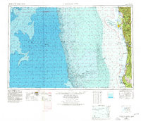 1958 Crescent City1978 Print · USGSThe northwestern California coast and the Oregon borderlands are shown here during a period of expanding redwood conservation and active military presence. Researchers can trace historic sites from the Yontocket Indian Village Site to Fort Dick and the Klamath Air Force Station.
 - 1961 Map of Eureka
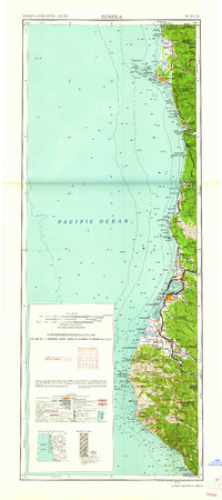 1961 Eureka1961 Print · USGSThe Northern California coast and its deep redwood forests are mapped here at a time when the timber and rail industries defined the region. Researchers can trace historic family ranches and remote sites like Fort Dick, Table Bluff Lighthouse, and the Copper Creek Mine.2 unique versions available
 - 1966 Map of Hiouchi, 1968 Print
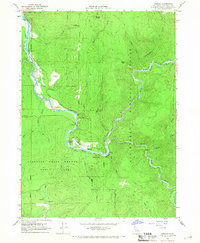 1966 Hiouchi1968 Print · USGSThe Smith River canyon at the height of the mid-century recreation boom reveals a landscape of massive redwoods and riverfront settlements. Genealogists and historians can locate the Nickerson Ranch (Site) and Douglas Park, or trace the winding North Bank Road.2 unique versions available
 - 1983 Map of Crescent City
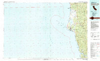 1983 Crescent City1983 Print · USGSThe Del Norte coast in the early eighties shows a transition between industrial mining and the expansion of massive redwood parks. Genealogists and local researchers can locate coastal landmarks from McNamara Field to the Alta Mine and the riverfront settlement of Requa.
 - 1997 Map of Hiouchi, 2001 Print
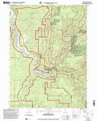 1997 Hiouchi2001 Print · USGSDel Norte County at the close of the twentieth century shows a landscape where protected redwood groves meet the wild forks of the Smith River. Researchers can locate historical sites like Nickerson Ranch (Site) or trace river landings from Myrtle Camp to Stout Grove.
 - 2012 Map of Hiouchi, 2012 Print
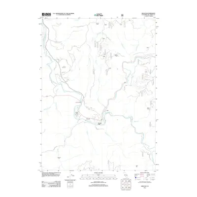 2012 Hiouchi2012 Print · USGSCovers Hiouchi, including Douglas Park, Del Norte County, and other nearby areas
 - 2015 Map of Hiouchi, 2015 Print
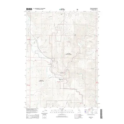 2015 Hiouchi2015 Print · USGSCovers Hiouchi, including Douglas Park, Del Norte County, and other nearby areas
 - 2018 Map of Hiouchi, 2018 Print
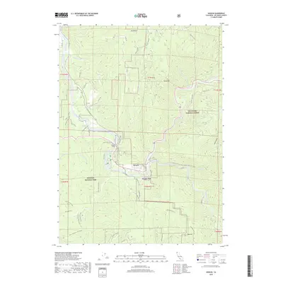 2018 Hiouchi2018 Print · USGSCovers Hiouchi, including Douglas Park, Del Norte County, and other nearby areas
 - 2021 Map of Hiouchi, 2021 Print
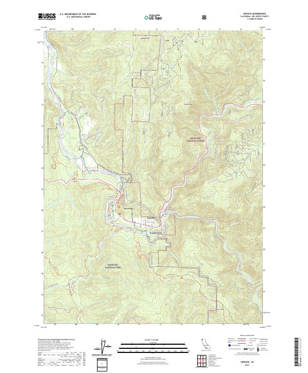 2021 Hiouchi2021 Print · USGSThe confluence of the Smith River's forks near Hiouchi is documented in this recent survey of Del Norte County's protected timberlands. Researchers can trace the boundaries of Redwood National Park and find specific access points like Douglas Park and Howland Hill Rd.
End of results
Showing maps 1-14 of 14
Top cities near Hiouchi
Frequently asked questions
- What are the different types of historical maps available for Hiouchi?
- What is the oldest map of Hiouchi?
- Where can I purchase historical maps of Hiouchi for my home or office?
- Where can I download high-res historical maps of Hiouchi?
- Are there historical topographic maps available for Hiouchi?
- Is there historical aerial imagery available for Hiouchi?
- Where are historical maps of Hiouchi sourced from?