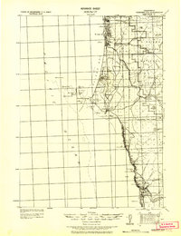
1929 Map of Crescent City
USGS Topo · Published 1929About this map
The coastal frontier of Del Norte County is documented here as it appeared in the late 1920s, showing a landscape defined by its rugged shoreline and timbered interior. At the center of the coastal bend lies Crescent City, serving as the primary hub near the treacherous St George Reef and its scattered landmarks like Whaler I. and Castel Rock. Further inland, the extractive industry of the era is evidenced by the Tyson Chrome Mines, located within the sprawling Siskiyou National Forest near the Low Divide.
Find a feature on this map
83 named features on this map. Tap any name to fly to it.
Don’t see what you’re looking for? This feature index may not catch every label — zoom into the map to look around manually.
Map Details
Editions of this 1929 Crescent City Map
This is the sole edition of this map. No revisions or reprints were ever made.
Other maps of this area
1917 · Kerby
USGS Topo · 1:125,000
1918 · Kerby
USGS Topo · 1:125,000
1922 · Preston Peak
USGS Topo · 1:125,000
1925 · Hoopa
USGS Topo · 1:125,000
1945 · Ship Mountain
USGS Topo · 1:62,500
1945 · Orick
USGS Topo · 1:62,500
1945 · Kerby
USGS Topo · 1:125,000
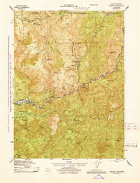
1945 · Gasquet
USGS Topo · 1:62,500
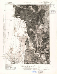
1945 · Point St. George
USGS Topo · 1:62,500
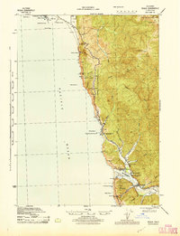
1945 · Requa
USGS Topo · 1:62,500