2000s (21st Century) Maps of Dinkey Creek, California
Explore 5 historic maps of Dinkey Creek from the 2000s (21st Century). These maps offer a rare glimpse into what life looked like during the 2000s — showing old roads, neighborhoods, homes, and landmarks that have changed or disappeared over time.
Whether you're researching your family's past, planning a metal detecting trip, or studying how Dinkey Creek's landscape evolved across the 2000s, these high-resolution maps are a powerful tool for exploring the history of this region.
- Focus on a specific era: All maps on this page are from the 2000s, giving you a focused view of this time period.
- See what’s changed: Compare century-old streets, trails, and buildings to today's modern landscape using overlays and satellite layers.
- Research with precision: Use these maps for genealogy, historical research, land use analysis, or educational projects.
- View, download, or print: Maps are fully viewable online in high resolution, and can be downloaded or printed for your own records.
Start exploring Dinkey Creek's history through authentic maps from the 2000s. This is your window into the past.
Dinkey Creek, CA maps
(5)- 2004 Map of Dinkey Creek, 2007 Print
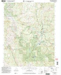 2004 Dinkey Creek2007 Print · USGSIn the central Sierra Nevada at the start of the millennium, this area shows a landscape defined by forest management and mountain recreation. Researchers can trace the Bretz Mill (Site), the Bald Mountain Lookout, and established camps like Byles Jamison Camp.
 - 2012 Map of Dinkey Creek, 2012 Print
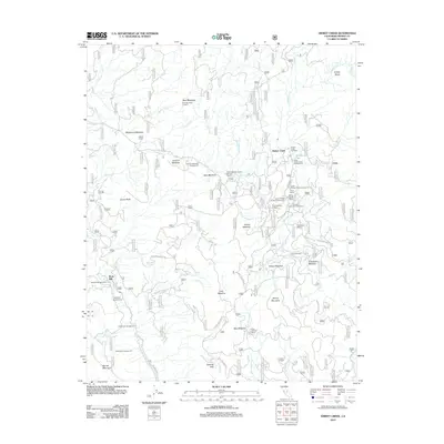 2012 Dinkey Creek2012 Print · USGSCovers Dinkey Creek, including Bretz Mill, Fresno County, and other nearby areas
 - 2015 Map of Dinkey Creek, 2015 Print
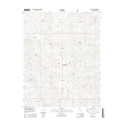 2015 Dinkey Creek2015 Print · USGSCovers Dinkey Creek, including Bretz Mill, Fresno County, and other nearby areas
 - 2018 Map of Dinkey Creek, 2018 Print
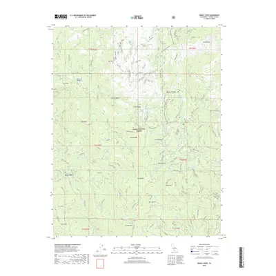 2018 Dinkey Creek2018 Print · USGSCovers Dinkey Creek, including Bretz Mill, Fresno County, and other nearby areas
 - 2021 Map of Dinkey Creek, 2021 Print
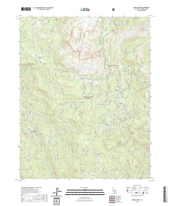 2021 Dinkey Creek2021 Print · USGSThe Fresno County backcountry comes into focus in this recent survey, showing the high-country settlements and timber history of the Sierra. Researchers can trace historic sites like Bretz Mill, the Byles-Jamison Camp, and the rugged Old Mine trail.
End of results
Showing maps 1-5 of 5
Frequently asked questions
- What are the different types of historical maps available for Dinkey Creek?
- What is the oldest map of Dinkey Creek?
- Where can I purchase historical maps of Dinkey Creek for my home or office?
- Where can I download high-res historical maps of Dinkey Creek?
- Are there historical topographic maps available for Dinkey Creek?
- Is there historical aerial imagery available for Dinkey Creek?
- Where are historical maps of Dinkey Creek sourced from?