Old Maps of Rotavele, California for Academic Research
Study the evolution of Rotavele with 12 high-resolution historic maps. Whether you're teaching, researching, or modeling changes in land use, these maps provide essential visual documentation of urban, environmental, and geographic change.
- Analyze long-term change: Track patterns in development, transportation, and natural features.
- Ideal for environmental or urban studies: Support academic projects with primary historical map data.
- Use in the classroom or lab: Educators and researchers rely on these maps to bring historical context to life.
These maps are a powerful tool for teaching, research, and visualizing how Rotavele has changed over the decades.
Rotavele, CA maps
(12)- 1906 Map of Willows
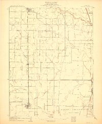 1906 Willows1906 Print · USGSThe northern Sacramento Valley is captured here at the dawn of the irrigation era, centered on the growing railroad hubs of the western plains. Researchers can trace early water infrastructure like the Central Irrigation Canal alongside vanished river landings such as Sidds Ldg and Jacinto.2 unique versions available
 - 1914 Map of Hamilton
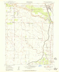
 1914 Hamilton1914 Print · USGSNorthern Glenn County comes into focus in this early twentieth-century survey of the Sacramento Valley's emerging agricultural landscape. Trace the tracks of the S P R R and Northern El R R as they converge near Hamilton and the Swift Point Warehouse.
 - 1949 Map of Hamilton City, 1958 Print
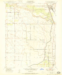
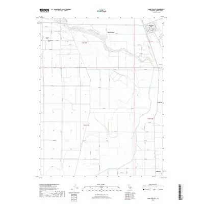
 1949 Hamilton City1958 Print · USGSHamilton City and the Sacramento Valley riverlands are captured here at the end of the 1940s. Genealogists and researchers can trace the rural communities of Ordbend and St John (Site) alongside the Southern Pacific tracks and local schoolhouses like Ord School.3 unique versions available
 - 1950 Map of Hamilton City
 1950 Hamilton City1950 Print · USGSAgricultural Glenn County comes to life at mid-century, centered on the rail-fed hub of Hamilton City. Genealogists and historians can trace old homesteads and local institutions like Union High Sch, Ordbend, and the historic St John (Site).
 - 1951 Map of Willows, 1959 Print
 1951 Willows1959 Print · USGSIn the early fifties, Glenn County was a thriving network of orchards and rail-side towns. Genealogists and historians can trace the foundations of Willows and Hamilton City, while locating rural landmarks like Artois Cemetery and Jacinto Grange.
 - 1957 Map of Ukiah, 1966 Print
 1957 Ukiah1966 Print · USGSNorthern California's diverse terrain comes into focus in the mid-1950s, from the rugged timberlands of the Jackson State Forest to the productive Sacramento Valley. Genealogists and historians can trace the rail lines of the Northwestern Pacific or locate early valley settlements like Arbuckle and Paskenta.3 unique versions available
 - 1960 Map of Ukiah
 1960 Ukiah1960 Print · USGSNorthern California during the late fifties reveals a landscape of deep timber forests and valley agriculture before modern expansion. Trace the historic rail lines of the California Western RR and the Northwestern Pacific RR through settlements like Fort Bragg and Ukiah.2 unique versions available
 - 1987 Map of Willows, 1988 Print
 1987 Willows1988 Print · USGSThe northern Sacramento Valley meets the Coast Range in the late eighties, showing a landscape defined by water and transit. Researchers can trace the Southern Pacific railroad past Artois and Corning, or locate family-named landmarks like Larkins Childrens Rancho and Snaden Island.2 unique versions available
 - 2012 Map of Hamilton City, 2012 Print
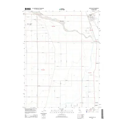
 2012 Hamilton City2012 Print · USGSCovers Rotavele, including Mills Orchard, Ordbend, and other nearby areas
 - 2015 Map of Hamilton City, 2015 Print
 2015 Hamilton City2015 Print · USGSCovers Rotavele, including Mills Orchard, Ordbend, and other nearby areas
 - 2018 Map of Hamilton City, 2018 Print
 2018 Hamilton City2018 Print · USGSCovers Rotavele, including Mills Orchard, Ordbend, and other nearby areas
 - 2021 Map of Hamilton City, 2021 Print
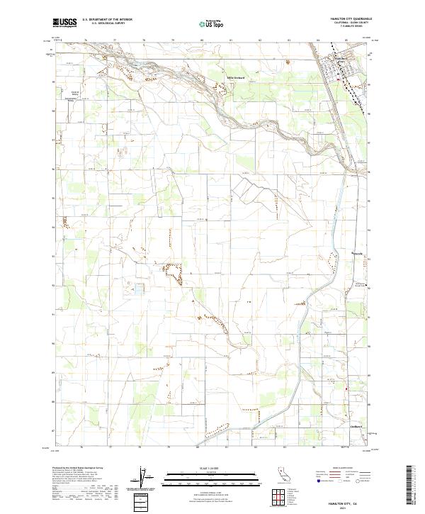 2021 Hamilton City2021 Print · USGSAgricultural life in the northern Sacramento Valley is documented here in the early twenty-first century. Genealogists can locate the Monroeville Pioneer Cem and trace rural settlements like Mills Orchard, Rotavele, and Ordbend.
End of results
Showing maps 1-12 of 12
Top cities near Rotavele
- Chico historical maps
- Corning historical maps
- Willows historical maps
- Durham historical maps
- Butte City historical maps
Frequently asked questions
- What are the different types of historical maps available for Rotavele?
- What is the oldest map of Rotavele?
- Where can I purchase historical maps of Rotavele for my home or office?
- Where can I download high-res historical maps of Rotavele?
- Are there historical topographic maps available for Rotavele?
- Is there historical aerial imagery available for Rotavele?
- Where are historical maps of Rotavele sourced from?