1900s (20th Century) Maps of Arcata, California
Explore 19 historic maps of Arcata from the 1900s (20th Century). These maps offer a rare glimpse into what life looked like during the 1900s — showing old roads, neighborhoods, homes, and landmarks that have changed or disappeared over time.
Whether you're researching your family's past, planning a metal detecting trip, or studying how Arcata's landscape evolved across the 1900s, these high-resolution maps are a powerful tool for exploring the history of this region.
- Focus on a specific era: All maps on this page are from the 1900s, giving you a focused view of this time period.
- See what’s changed: Compare century-old streets, trails, and buildings to today's modern landscape using overlays and satellite layers.
- Research with precision: Use these maps for genealogy, historical research, land use analysis, or educational projects.
- View, download, or print: Maps are fully viewable online in high resolution, and can be downloaded or printed for your own records.
Start exploring Arcata's history through authentic maps from the 1900s. This is your window into the past.
Arcata, CA maps
(19)- 1922 Map of Eureka
 1922 Eureka1922 Print · USGSHumboldt Bay and the redwood coast are captured in the early twenties as the region’s timber and rail economy reached its height. Genealogists and historians can trace family-named settlements like John Brown and Wheeler, or locate industrial sites such as the Shingle Mill and the Arcata Wharf.
 - 1922 Map of Korbel
 1922 Korbel1922 Print · USGSHumboldt County’s timber and rail economy is on full display in the early 1920s as rail lines converge along the Mad River. Genealogists and historians can trace family-named outposts like Berry's, Bairs, and Murphy or follow the early tracks of the Arcata and Mad River Railroad.
 - 1933 Map of Eureka
 1933 Eureka1933 Print · USGSCoastal Humboldt County comes alive in the 1930s, showing the bustling waterfronts of Eureka and Arcata before modern expansion. Genealogists and historians can trace rail lines like the Dolbeer & Carson R. R. or locate family landmarks such as Dows Prairie Sch and Samoa.
 - 1942 Map of Eureka
 1942 Eureka1942 Print · USGSCoastal Humboldt County appears here in the early 1940s, showing the vital rail and maritime links between the bay and the redwood interior. Genealogists can locate family landmarks like Fieldbrook Sch and vanished junctions such as Freshwater Junction or Essex.3 unique versions available
 - 1945 Map of Blue Lake, 1948 Print
 1945 Blue Lake1948 Print · USGSCoastal Humboldt County meets the timber-heavy interior in the 1940s, showing a landscape of scattered family ranches and river-based industry. Genealogy researchers can trace family lands like Angel Ranch or find vanished school sites such as Maple Creek School.
 - 1949 Map of Eureka
 1949 Eureka1949 Print · USGSCoastal Northern California in the late 1940s shows a landscape of timber towns and maritime outposts. You can trace the Northwestern Pacific rail line through Eureka or locate family landmarks like the Tyson Chrome Mine and Crescent City Lighthouse.2 unique versions available
 - 1951 Map of Eureka, 1953 Print
 1951 Eureka1953 Print · USGSThe Humboldt coast is captured here during a period of significant mid-century growth and industrial activity. Genealogists and historians can trace the foundations of Eureka and Arcata, locating Humboldt State College and waterfront sites like Samoa and Fairhaven.2 unique versions available
 - 1951 Map of Blue Lake, 1953 Print
 1951 Blue Lake1953 Print · USGSCoastal Humboldt County in the early 1950s shows the deep connection between the timber industry and the high-prairie ranching life. Genealogists can trace family landmarks and rural infrastructure like Blue Lake, the Ford Ranch, and the Redwood School.5 unique versions available
 - 1952 Map of Arcata North, 1974 Print
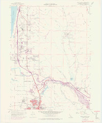 1952 Arcata North1974 Print · USGSCoastal Humboldt County was undergoing significant postwar growth and industrial expansion during this era. Genealogists and local historians can trace family locations near McKinleyville and old school sites like Fieldbrook School and Morris Sch.
 - 1958 Map of Redding
 1958 Redding1958 Print · USGSNorthern California's valley and mountain landscapes are captured in the late fifties, showing the region as new reservoirs reshaped the river systems. Genealogists and historians can trace rail-side towns like Cottonwood, the military presence at Red Bluff Air Force Station, and mountain outposts like Weaverville.5 unique versions available
 - 1958 Map of Eureka, 1967 Print
 1958 Eureka1967 Print · USGSNorthern California's rugged redwood coast and timber corridors are captured in the late fifties, from the Oregon border down to Shelter Cove. Researchers can trace the path of the Northwestern Pacific railroad and locate rural landmarks like Grizzly Bluff School or the St Josephs Sch.
 - 1958 Map of Eureka, 1978 Print
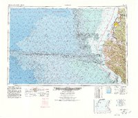 1958 Eureka1978 Print · USGSCoastal Humboldt County is captured here in the late fifties, showing the region's logging and maritime identity before later development changed the Eel River delta. Genealogists and historians can trace the Northwestern Pacific rail line and locate old community hubs like Rio Dell, Scotia, and Ferndale.
 - 1959 Map of Arcata North, 1960 Print
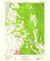 1959 Arcata North1960 Print · USGSCoastal Humboldt County comes to life in the late fifties, showing the timber and transport networks of the Redwood Empire. Genealogists can locate family landmarks like Sunset Ranch, several country schools, and the growing campus of Humboldt State College.4 unique versions available
 - 1959 Map of Eureka, 1961 Print
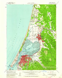 1959 Eureka1961 Print · USGSThe Humboldt Bay region thrives in the late fifties, showcasing the established urban centers of EUREKA and Arcata alongside a network of coastal sloughs. Genealogists and historians can locate legacy institutions like Humboldt State College and trace the paths of the Northwestern Pacific Railroad and Samoa Logging Road.2 unique versions available
 - 1959 Map of Arcata South, 1961 Print
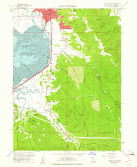 1959 Arcata South1961 Print · USGSThe Humboldt coast during the late fifties reveals a landscape of growing college towns and active waterfront industry. Genealogists and local researchers can trace the rail corridor of the Northwestern Pacific, explore the grounds of Humboldt State College, and locate rural landmarks like Jacoby Creek Sch or the Redwood Acres Fairground.5 unique versions available
 - 1961 Map of Eureka
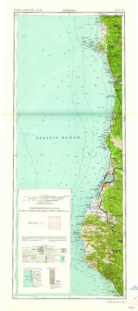 1961 Eureka1961 Print · USGSThe Northern California coast and its deep redwood forests are mapped here at a time when the timber and rail industries defined the region. Researchers can trace historic family ranches and remote sites like Fort Dick, Table Bluff Lighthouse, and the Copper Creek Mine.2 unique versions available
 - 1979 Map of Korbel
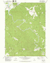 1979 Korbel1979 Print · USGSCoastal Humboldt County during the late 1970s reveals a landscape of working ranches and remote river valleys. Genealogists and local historians can trace family-named sites like Angel Ranch, the settlement of Korbel, and the distinct high prairies of Fickle Hill.
 - 1982 Map of Hayfork, 1983 Print
 1982 Hayfork1983 Print · USGSTrinity and Humboldt counties appear here in the early eighties as a landscape of timber and mining. Researchers can trace remote river settlements like Hyampom and Burnt Ranch or locate old operations such as the Yellowstone Mine and Index Mine.
 - 1987 Map of Eureka
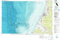 1987 Eureka1987 Print · USGSThe Humboldt County coastline in the late eighties reveals a landscape shaped by timber, transport, and the sea. Trace the Northwestern Pacific RR through Eureka or locate family roots near Ocean View Cem and Arlynda Corners.
End of results
Showing maps 1-19 of 19
Top cities near Arcata
- Eureka historical maps
- McKinleyville historical maps
- Blue Lake historical maps
- Loleta historical maps
- Trinidad historical maps
Top neighborhoods of Arcata
Frequently asked questions
- What are the different types of historical maps available for Arcata?
- What is the oldest map of Arcata?
- Where can I purchase historical maps of Arcata for my home or office?
- Where can I download high-res historical maps of Arcata?
- Are there historical topographic maps available for Arcata?
- Is there historical aerial imagery available for Arcata?
- Where are historical maps of Arcata sourced from?