Old Maps of Shelter Cove, California for Academic Research
Study the evolution of Shelter Cove with 14 high-resolution historic maps. Whether you're teaching, researching, or modeling changes in land use, these maps provide essential visual documentation of urban, environmental, and geographic change.
- Analyze long-term change: Track patterns in development, transportation, and natural features.
- Ideal for environmental or urban studies: Support academic projects with primary historical map data.
- Use in the classroom or lab: Educators and researchers rely on these maps to bring historical context to life.
These maps are a powerful tool for teaching, research, and visualizing how Shelter Cove has changed over the decades.
Shelter Cove, CA maps
(14)- 1920 Map of Pt. Delagda
 1920 Pt. Delagda1920 Print · USGSThe Humboldt County coast in the years following the Great War remained a remote landscape of family-run operations and steep shorelines. Researchers can trace early ranching sites and coastal landmarks like Shelter Cove, Etters Ranch, and Honey Dew.
 - 1949 Map of Eureka
 1949 Eureka1949 Print · USGSCoastal Northern California in the late 1940s shows a landscape of timber towns and maritime outposts. You can trace the Northwestern Pacific rail line through Eureka or locate family landmarks like the Tyson Chrome Mine and Crescent City Lighthouse.2 unique versions available
 - 1949 Map of Point Delgada, 1958 Print
 1949 Point Delgada1958 Print · USGSCoastal Humboldt County is seen here just after the war, showing the dramatic interface of the King Range and the sea. Researchers can trace the early layout of Shelter Cove and its Airstrip, or locate Oil Wells and the remote settlement of Honeydew.2 unique versions available
 - 1951 Map of Point Delgada
 1951 Point Delgada1951 Print · USGSThe Humboldt County coast in the early fifties remains a wilderness of steep ridges and isolated settlements. Researchers can trace the original Humboldt Road and locate mid-century landmarks like the Airstrip at Shelter Cove and the remote Honeydew post office.2 unique versions available
 - 1958 Map of Eureka, 1967 Print
 1958 Eureka1967 Print · USGSNorthern California's rugged redwood coast and timber corridors are captured in the late fifties, from the Oregon border down to Shelter Cove. Researchers can trace the path of the Northwestern Pacific railroad and locate rural landmarks like Grizzly Bluff School or the St Josephs Sch.
 - 1958 Map of Eureka, 1978 Print
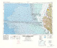 1958 Eureka1978 Print · USGSCoastal Humboldt County is captured here in the late fifties, showing the region's logging and maritime identity before later development changed the Eel River delta. Genealogists and historians can trace the Northwestern Pacific rail line and locate old community hubs like Rio Dell, Scotia, and Ferndale.
 - 1961 Map of Eureka
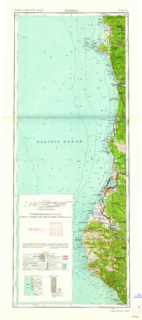 1961 Eureka1961 Print · USGSThe Northern California coast and its deep redwood forests are mapped here at a time when the timber and rail industries defined the region. Researchers can trace historic family ranches and remote sites like Fort Dick, Table Bluff Lighthouse, and the Copper Creek Mine.2 unique versions available
 - 1969 Map of Shelter Cove, 1974 Print
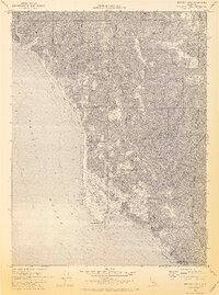 1969 Shelter Cove1974 Print · USGSThe Humboldt County coast was undergoing significant recreational and residential planning in the late sixties. Researchers can trace the street layouts of Shelter Cove and find remote sites like Kaluna Cliff, Queen Peak, and several inland Mines.3 unique versions available
 - 1989 Map of Cape Mendocino
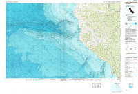 1989 Cape Mendocino1989 Print · USGSThe Humboldt coast in the late eighties reveals a landscape where massive redwoods meet the deep sea. Genealogists and historians can trace the remote outposts of Petrolia and Capetown or locate historic markers like the Punta Gorda Lighthouse.
 - 1997 Map of Shelter Cove, 1999 Print
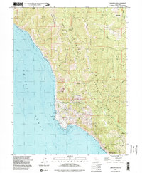 1997 Shelter Cove1999 Print · USGSCoastal Humboldt County meets the sea at Point Delgada in the late 1990s, where the King Range National Conservation Area protects the shoreline. Trace local infrastructure and recreation sites including the Pacific Landing Strip, Tolkan Campground, and Mines near Queen Peak.
 - 2012 Map of Shelter Cove, 2012 Print
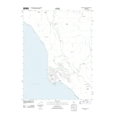 2012 Shelter Cove2012 Print · USGSThe southern Humboldt coast appears here during its early 21st-century development, centered on the isolated enclave of Shelter Cove. Researchers can trace the modern street layout and find local landmarks like Point Delgada, Shelter Cove Airport, and the Mattole River.
 - 2015 Map of Shelter Cove, 2015 Print
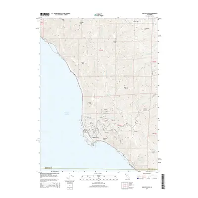 2015 Shelter Cove2015 Print · USGSCoastal Humboldt County meets the Mendocino border at this isolated Pacific enclave during the mid-2010s. Researchers can trace the development of Shelter Cove and the Shelter Cove Airport or locate landmarks like Point Delgada and Queen Peak.
 - 2018 Map of Shelter Cove, 2018 Print
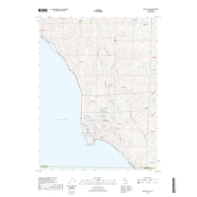 2018 Shelter Cove2018 Print · USGSThe Humboldt coast during the late 2010s shows the isolated community of Shelter Cove perched above the Pacific. Trace the remote road networks and coastal landmarks like the Shelter Cove Airport, Point Delgada, and the steep heights of Queen Peak.
 - 2021 Map of Shelter Cove, 2021 Print
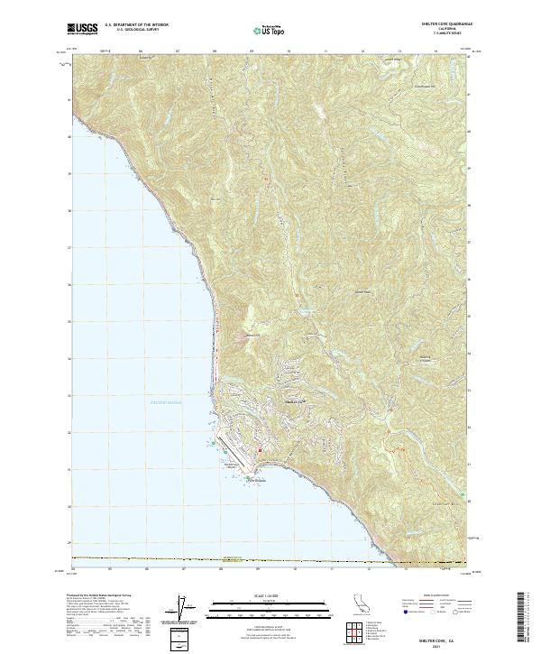 2021 Shelter Cove2021 Print · USGSThe Humboldt County coastline comes into sharp focus in the early 2020s, centering on the remote settlement at Shelter Cove. Researchers can trace local development around Point Delgada and the Shelter Cove Airport or explore the wilderness route of the Lost Coast Trl.
End of results
Showing maps 1-14 of 14
Frequently asked questions
- What are the different types of historical maps available for Shelter Cove?
- What is the oldest map of Shelter Cove?
- Where can I purchase historical maps of Shelter Cove for my home or office?
- Where can I download high-res historical maps of Shelter Cove?
- Are there historical topographic maps available for Shelter Cove?
- Is there historical aerial imagery available for Shelter Cove?
- Where are historical maps of Shelter Cove sourced from?