Old Maps of Coyote Wells, California for Metal Detecting
Plan your next treasure hunt with 16 historic maps of Coyote Wells. Find old homesites, ghost towns, trails, and gathering spots that may be lost to time — perfect for identifying promising metal detecting locations.
- Locate forgotten sites: Uncover places like long-lost settlements, abandoned rail lines, or gathering spots.
- Plan better hunts: Use map overlays combined with LiDAR or satellite views to narrow in on historically rich areas.
- Made for detectorists: Thousands of hobbyists use these maps to discover relics, coins, and hidden history.
Use these historic maps to boost your research and find new opportunities beneath the surface of Coyote Wells.
Coyote Wells, CA maps
(16)- 1915 Map of El Centro
 1915 El Centro1915 Print · USGSThe Imperial Valley was rapidly developing into an agricultural powerhouse in the decade before the Great War. You can trace early irrigation networks through West Side Main Canal and locate early settlements like Dixieland, Silsbee, and 101 Ranch.
 - 1940 Map of Coyote Wells, 1956 Print
 1940 Coyote Wells1956 Print · USGSThe Colorado Desert during the early 1940s reveals a landscape of high-heat basins and essential transit corridors along the international border. Researchers can trace the path of the Old Stage Road and locate the railway stop at Coyote Wells or the geologic Shell Beds.
 - 1942 Map of El Centro
 1942 El Centro1942 Print · USGSThe Imperial Valley and the California-Mexico border are captured during the peak of World War II-era desert development. Genealogists and historians can trace defunct school districts like Meloland Sch and Sandia, or follow the path of the Inter-California Railroad across the international line.2 unique versions available
 - 1943 Map of Coyote Wells, 1945 Print
 1943 Coyote Wells1945 Print · USGSImperial County during the war years reveals a desert landscape defined by the Old Stage Road and international border. Trace local history through landmark sites like Coyote Wells, the Shell Beds, and Yuha Spring.
 - 1954 Map of El Centro
 1954 El Centro1954 Print · USGSThe Imperial Valley was at its mid-century agricultural peak when this survey recorded its vast irrigation network and desert borderlands. Researchers can trace the path of the All American Canal or locate local landmarks like Lantana School and the Tumco Mines.
 - 1955 Map of El Centro
 1955 El Centro1955 Print · USGSThe Imperial Valley and the Colorado River borderlands are captured here in the mid-fifties during the peak of the region's irrigation-driven expansion. Researchers can trace the desert's industrial history through the Tumco Mines, the Yuma Test Branch, and rural landmarks like the Palmetto School.
 - 1957 Map of Coyote Wells, 1958 Print
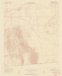 1957 Coyote Wells1958 Print · USGSThe Imperial Valley desert comes alive in the late fifties at the junction of the San Diego and Arizona Eastern rail line. Trace the path of early travelers through the Yuha Basin via the Yuha Cutoff or locate the Vista De Anza Historical Marker.6 unique versions available
 - 1957 Map of Coyote Wells, 1961 Print
 1957 Coyote Wells1961 Print · USGSThe Imperial Valley desert comes into focus during the late fifties as the regional transportation and water infrastructure took shape. Researchers can trace the Arizona and Eastern rail line and locate desert landmarks like Yuha Well and the Vista de Anza Historical Marker.2 unique versions available
 - 1958 Map of El Centro, 1972 Print
 1958 El Centro1972 Print · USGSThe Imperial Valley's agricultural heartland and the Colorado River's edge are captured here during a period of massive water infrastructure and military expansion. Genealogists and historians can trace old mining sites like the Ferguson Mine, desert outposts such as Ogilby, and early rail lines including the San Diego and Arizona Eastern.4 unique versions available
 - 1961 Map of El Centro
 1961 El Centro1961 Print · USGSThe California-Arizona borderlands come alive in this early sixties record of desert irrigation and military expansion. Genealogists and researchers can trace the engineering of the All American Canal and locate vanished sites like Araz and the Imperial County Tuberculosis Sanatorium.
 - 1964 Map of El Centro
 1964 El Centro1964 Print · USGSThe agricultural heart of the California desert and the military test ranges of Arizona are revealed in this mid-century study. Genealogists and historians can trace the paths of the Southern Pacific railroad and the All American Canal near El Centro and Yuma.
 - 1989 Map of El Centro, 1990 Print
 1989 El Centro1990 Print · USGSThe Imperial Valley and the international border come alive in this late-eighties survey of high-desert agriculture and military aviation. Researchers can trace the development of Calexico and Mexicali or locate landmarks like the Lechuga Store and Plaster City.
 - 2012 Map of Coyote Wells, 2012 Print
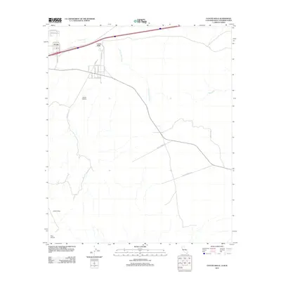 2012 Coyote Wells2012 Print · USGSThe desert settlements of Ocotillo and Coyote Wells are captured here in the early twenty-first century as they border the dramatic badlands. Trace old routes like the Anza Trail Rd and the deep cuts of Davies Canyon and Pinto Canyon through the arid landscape.
 - 2015 Map of Coyote Wells, 2015 Print
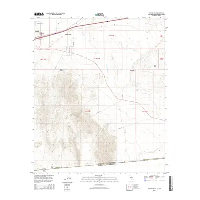 2015 Coyote Wells2015 Print · USGSThe high desert of Imperial County is captured here in the mid-2010s, showing the intersection of small settlements and historical transit routes. Researchers can trace the path of the Anza Trl as it passes near Coyote Wells and the remote reaches of Davies Valley.
 - 2018 Map of Coyote Wells, 2018 Print
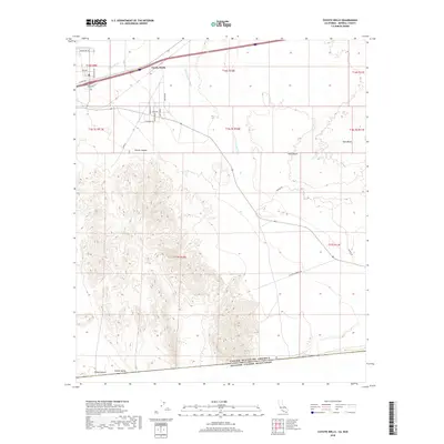 2018 Coyote Wells2018 Print · USGSThe high desert of Imperial County is captured here in the late 2010s, showing the intersection of international borders and arid geography. Researchers can trace the path of Co Hwy S80 past Coyote Wells or explore the drainage of Yuha Wash and Davies Canyon.
 - 2021 Map of Coyote Wells, 2021 Print
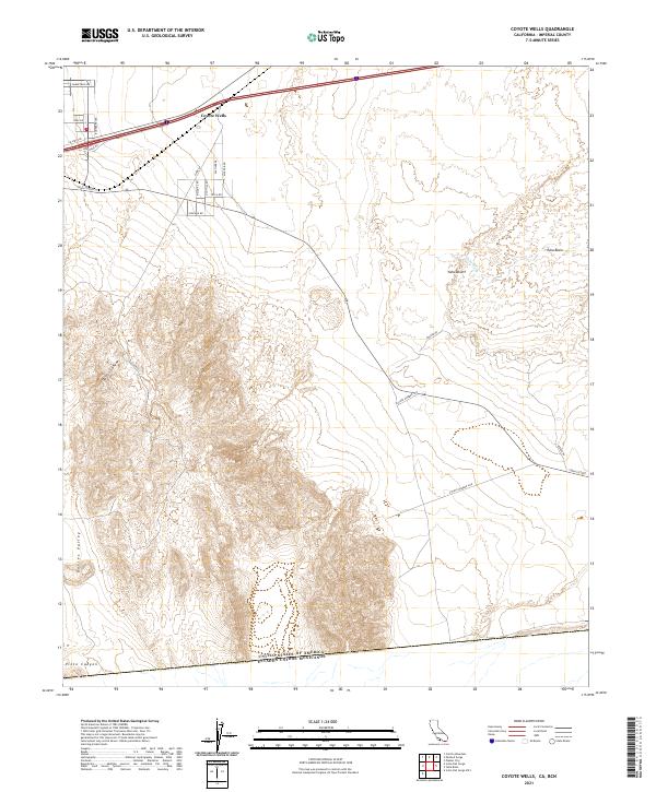 2021 Coyote Wells2021 Print · USGSThe Imperial County desert frontier comes into focus in this recent survey, showing the international border and desert corridor. Trace the landscape from the settlement at Coyote Wells south through Yuha Basin and the rugged Davies Valley.
End of results
Showing maps 1-16 of 16
Frequently asked questions
- What are the different types of historical maps available for Coyote Wells?
- What is the oldest map of Coyote Wells?
- Where can I purchase historical maps of Coyote Wells for my home or office?
- Where can I download high-res historical maps of Coyote Wells?
- Are there historical topographic maps available for Coyote Wells?
- Is there historical aerial imagery available for Coyote Wells?
- Where are historical maps of Coyote Wells sourced from?