Old Maps of Stovepipe Wells, California for Academic Research
Study the evolution of Stovepipe Wells with 17 high-resolution historic maps. Whether you're teaching, researching, or modeling changes in land use, these maps provide essential visual documentation of urban, environmental, and geographic change.
- Analyze long-term change: Track patterns in development, transportation, and natural features.
- Ideal for environmental or urban studies: Support academic projects with primary historical map data.
- Use in the classroom or lab: Educators and researchers rely on these maps to bring historical context to life.
These maps are a powerful tool for teaching, research, and visualizing how Stovepipe Wells has changed over the decades.
Stovepipe Wells, CA maps
(17)- 1908 Map of Ballarat
 1908 Ballarat1908 Print · USGSInyo County was a frontier of mining and survival in the early 1900s, where water and ore dictated the settlement patterns. Researchers can locate remote camps like Skidoo and Harrisburg, or trace the vital network of desert water at Stovepipe Wells and Warm Sulphur Spring.
 - 1913 Map of Ballarat
 1913 Ballarat1913 Print · USGSThe high desert of Inyo County is documented here during a period of intense mining and early water development. Genealogists and desert historians can trace the foundations of Ballarat, the Southern Pacific RR line, and active sites like Skidoo or the Cerro Gordo Mines.7 unique versions available
 - 1948 Map of Death Valley
 1948 Death Valley1948 Print · USGSIn the late 1940s, this desert frontier was defined by isolated mining camps and military restricted zones. Researchers can trace the routes between Furnace Creek Ranch and Rhyolite, or locate remote sites like the Modoc Mine and Ballarat.2 unique versions available
 - 1952 Map of Stovepipe Wells, 1953 Print
 1952 Stovepipe Wells1953 Print · USGSDeath Valley in the early fifties shows a landscape of survival and exploration, centered on the essential outpost at Stovepipe Wells. Researchers can trace the routes of the Old Toll Road and locate remote water sources like Triangle Spring and Midway Well.4 unique versions available
 - 1954 Map of Death Valley, 1966 Print
 1954 Death Valley1966 Print · USGSInyo County and the Nevada borderlands are shown during the mid-twentieth century as mining history met the atomic age. Researchers can trace the legacy of desert boomtowns and remote camps like Rhyolite, Darwin Mines, and the isolated Clay Camp.3 unique versions available
 - 1956 Map of Death Valley
 1956 Death Valley1956 Print · USGSInyo County and the Nevada borderlands appear in the mid-fifties as a rugged landscape of mining camps and military reservations. Genealogists and historians can trace the foundations of Furnace Creek Ranch, the desert roads to Ballarat, and active mining sites like the Lila C Mine.
 - 1957 Map of Death Valley
 1957 Death Valley1957 Print · USGSThe High Desert in the mid-fifties reveals a landscape of extreme elevations and deep-seated mining history, from the Panamint Range to the Amargosa River. Trace the remnants of the Tonopah & Tidewater RR and remote sites like Ballarat or the Skidoo Mine.
 - 1958 Map of Death Valley
 1958 Death Valley1958 Print · USGSThe High Desert and Death Valley during the mid-fifties reveal a stark landscape of mining camps and new military ranges. Historians can trace the lineage of remote outposts like Ballarat, the Skidoo Mine, and the historic Cerro Gordo Mine.
 - 1961 Map of Death Valley
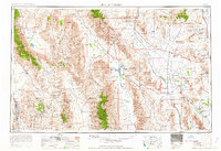 1961 Death Valley1961 Print · USGSDeath Valley and the Nevada borderlands are shown in the early sixties as a landscape of military testing and historic mining. Genealogists and researchers can locate remote settlements like Rhyolite, active operations at Darwin Mines, and cold-war sites such as the Nevada Proving Grounds.
 - 1964 Map of Death Valley
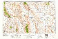 1964 Death Valley1964 Print · USGSThe California-Nevada borderlands are shown here in the mid-1960s, a landscape defined by extreme geography and strategic military testing. Researchers can locate remote mining sites like Skidoo Mines or trace the early tourist footprint at Stovepipe Wells Hotel.
 - 1965 Map of Death Valley
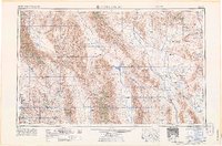 1965 Death Valley1965 Print · USGSThe California-Nevada borderlands are captured here in the mid-1960s, showing the high-desert transition from mining camps to military proving grounds. Researchers can locate remote settlements like Skidoo and Ballarat or trace the old Tonopah and Tidewater Railroad.
 - 1985 Map of Saline Valley
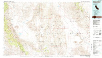 1985 Saline Valley1985 Print · USGSInyo County during the mid-1980s reveals a desert landscape of remote mining claims and isolated outposts between the high ranges. Geologists and researchers can trace the roads to Teakettle Junction or locate the historic Cerro Gordo Mine and Stovepipe Wells.2 unique versions available
 - 1988 Map of Stovepipe Wells
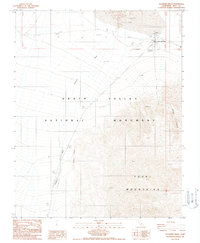 1988 Stovepipe Wells1988 Print · USGSIn the late eighties, the desert outpost of Stovepipe Wells provided a vital link for travelers crossing the basin. Genealogists and researchers can trace the local infrastructure of the era, from the Trailer Park and Landing Strip to scattered Prospects near the Tucki Mountains.
 - 2012 Map of Stovepipe Wells, 2012 Print
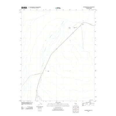 2012 Stovepipe Wells2012 Print · USGSDeath Valley's high-desert landscape is documented here in the early 21st century at the historic crossroads of Stovepipe Wells. Tracing the terrain from Tucki Mountain to Mosaic Canyon, you can locate the specific layout of the Stovepipe Wells Airport and the seasonal path of Emigrant Wash.
 - 2015 Map of Stovepipe Wells, 2015 Print
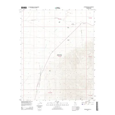 2015 Stovepipe Wells2015 Print · USGSThe heart of the Mojave Desert is captured here in the early twenty-first century, centered on the historic outpost of Stovepipe Wells. Researchers can trace the rugged topography from Tucki Mtn down to Emigrant Wash or locate the Stovepipe Wells Airport.
 - 2018 Map of Stovepipe Wells, 2018 Print
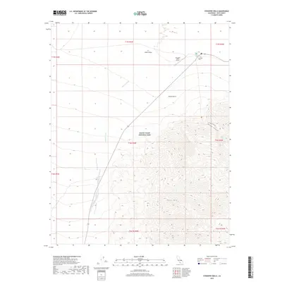 2018 Stovepipe Wells2018 Print · USGSThe northern reaches of the Panamint Range meet the desert floor in this 2018 survey of eastern California. Researchers can trace the drainage of Emigrant Wash or locate specific elevations around Stovepipe Wells and Tucki Mtn.
 - 2021 Map of Stovepipe Wells, 2021 Print
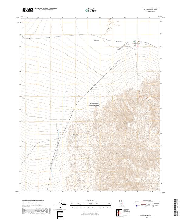 2021 Stovepipe Wells2021 Print · USGSDeath Valley and the Mojave Desert are captured here in the early twenty-first century as the Panamint Range rises over the valley floor. Trace the path of SR 190 past the Stovepipe Wells Airport and into the steep terrain of Tucki Mtn.
End of results
Showing maps 1-17 of 17
Frequently asked questions
- What are the different types of historical maps available for Stovepipe Wells?
- What is the oldest map of Stovepipe Wells?
- Where can I purchase historical maps of Stovepipe Wells for my home or office?
- Where can I download high-res historical maps of Stovepipe Wells?
- Are there historical topographic maps available for Stovepipe Wells?
- Is there historical aerial imagery available for Stovepipe Wells?
- Where are historical maps of Stovepipe Wells sourced from?