
1952 Map of Stovepipe Wells
USGS Topo · Published 1953About this map
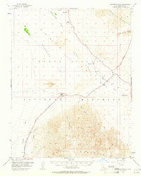
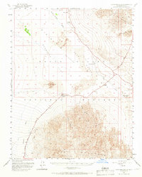
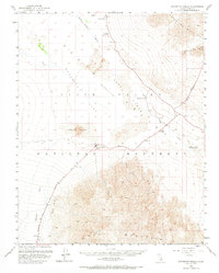
Death Valley (Depression) dominates this early 1950s survey, illustrating the stark geographic transition from the high Grapevine Mountains to the low expanse of Mesquite Flat. The map highlights the localized infrastructure required for desert travel and habitation, centered on the Stovepipe Wells Hotel and its adjacent Landing Strip. Significant landmarks like the Old Toll Road and various Jeep Trails snake across the terrain, connecting isolated water sources such as Midway Well, Triangle Spring, and the non-potable McLean Spring. The intricate contour work reveals the complex drainage patterns of Mosaic Canyon and Mud Canyon as they empty into the valley floor. This period of the Death Valley National Monument history reflects a landscape defined by its rare springs and the rugged paths established by early prospectors and travelers.
Find a feature on this map
21 named features on this map. Tap any name to fly to it.
Don’t see what you’re looking for? This feature index may not catch every label — zoom into the map to look around manually.
Map Details
Editions of this 1952 Stovepipe Wells Map
4 editions found
Other maps of this area

1908 · Furnace Creek
USGS Topo · 1:250,000

1908 · Ballarat
USGS Topo · 1:250,000

1910 · Furnace Creek
USGS Topo · 1:250,000

1913 · Ballarat
USGS Topo · 1:250,000

1942 · Bullfrog
USGS Topo · 1:125,000

1948 · Death Valley
USGS Topo · 1:250,000

1951 · Panamint Butte
USGS Topo · 1:62,500

1951 · Marble Canyon
USGS Topo · 1:62,500

1952 · Chloride Cliff
USGS Topo · 1:50,000

1952 · Furnace Creek
USGS Topo · 1:62,500