2020s Maps of McFarland, California
Explore 2 historic maps of McFarland from the 2020s. These maps offer a rare glimpse into what life looked like during the 2020s — showing old roads, neighborhoods, homes, and landmarks that have changed or disappeared over time.
Whether you're researching your family's past, planning a metal detecting trip, or studying how McFarland's landscape evolved across the 2020s, these high-resolution maps are a powerful tool for exploring the history of this region.
- Focus on a specific era: All maps on this page are from the 2020s, giving you a focused view of this time period.
- See what’s changed: Compare century-old streets, trails, and buildings to today's modern landscape using overlays and satellite layers.
- Research with precision: Use these maps for genealogy, historical research, land use analysis, or educational projects.
- View, download, or print: Maps are fully viewable online in high resolution, and can be downloaded or printed for your own records.
Start exploring McFarland's history through authentic maps from the 2020s. This is your window into the past.
McFarland, CA maps
(2)- 2021 Map of Pond, 2021 Print
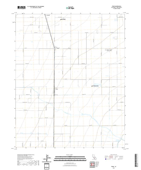 2021 Pond2021 Print · USGSCentral California agricultural lands in the early 2020s are captured here through a dense grid of farm-to-market roads and rural settlements. Researchers can trace the layout of small communities like Pond and Elmo along the path of Poso Creek.
 - 2021 Map of McFarland, 2021 Print
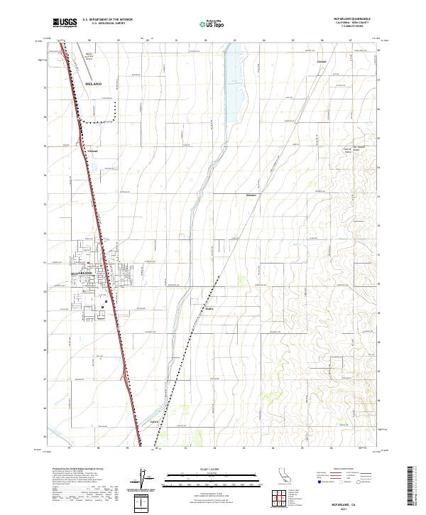 2021 McFarland2021 Print · USGSKern County agricultural life and infrastructure are captured here in the early twenty-first century. Researchers can trace the layout of McFarland, the southern expansion of Delano, and irrigation landmarks like the Friant-Kern Canal and Lake Woollomes.
End of results
Showing maps 1-2 of 2
Top cities near McFarland
- Delano historical maps
- Wasco historical maps
- Shafter historical maps
- Earlimart historical maps
- Richgrove historical maps
- Ducor historical maps
See more
Frequently asked questions
- What are the different types of historical maps available for McFarland?
- What is the oldest map of McFarland?
- Where can I purchase historical maps of McFarland for my home or office?
- Where can I download high-res historical maps of McFarland?
- Are there historical topographic maps available for McFarland?
- Is there historical aerial imagery available for McFarland?
- Where are historical maps of McFarland sourced from?