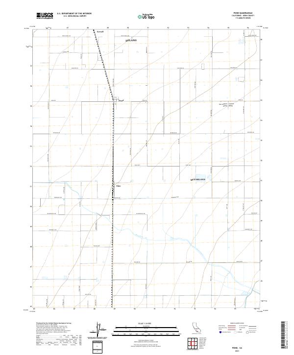
2021 Map of Pond
USGS Topo · Published 2021About this map
San Joaquin Valley agriculture dominates the landscape of north Kern County, where a rigid grid of roads supports a legacy of rural settlements. This 2021 survey illustrates the spatial relationship between Delano and McFarland, though it focuses on the smaller crossroads and rail-adjacent communities that defined the region's development. The meandering path of Poso Creek provides the only significant natural deviation from the rectilinear survey lines that organize the surrounding fields and orchards. Along the primary north-south transportation corridor, the sites of Kernell, Pond, and Elmo represent the historical nexus of transport and local commerce. These locations, connected by namesake routes like Wasco Pond Rd and the Elmo Hwy, highlight the enduring agricultural infrastructure that sustains this portion of the valley.
Find a feature on this map
42 named features on this map. Tap any name to fly to it.
Don’t see what you’re looking for? This feature index may not catch every label — zoom into the map to look around manually.
Map Details
Editions of this 2021 Pond Map
This is the sole edition of this map. No revisions or reprints were ever made.
Other maps of this area

1927 · McFarland
USGS Topo · 1:31,680

1929 · Delano
USGS Topo · 1:31,680

1929 · Stone
USGS Topo · 1:31,680

1929 · Allensworth
USGS Topo · 1:31,680

1930 · McFarland
USGS Topo · 1:31,680

1930 · Leonards
USGS Topo · 1:31,680

1930 · Hamlin School
USGS Topo · 1:31,680

1930 · Wasco
USGS Topo · 1:31,680

1930 · Pond
USGS Topo · 1:31,680

1930 · Famoso
USGS Topo · 1:31,680