Old Maps of China Lake, Ridgecrest for Genealogy
Trace your family roots with 13 historic maps of China Lake. These high-res maps reveal old neighborhoods, homesites, landmarks, and streets — helping you uncover where your ancestors lived and how the area evolved over time.
- Explore historic neighborhoods: Identify where your relatives may have lived in the 1800s or 1900s.
- Compare maps over time: Trace the changes in streets, buildings, and landmarks for multi-generational research.
- Perfect for genealogy & ancestry research: Used by family historians and researchers to map out lineage and migration.
These maps are an incredible resource for exploring your personal connection to China Lake's past.
China Lake, Ridgecrest maps
(13)- 1915 Map of Searles Lake
 1915 Searles Lake1915 Print · USGSThe Mojave Desert at the height of its early mining boom features a landscape defined by the Trona RR and the thriving gold camps of the Rand Mountains. Genealogists and historians can trace the foundations of Randsburg, the soda works at Trona, and remote outposts like Muerto Leliter PO and Garlock.6 unique versions available
 - 1947 Map of Trona, 1948 Print
 1947 Trona1948 Print · USGSThe Mojave Desert and Southern Sierra foothills come alive in the late 1940s, showing the industrial nodes of the Argus Range and the burgeoning Camp Irwin. Trace the legacy of desert mining and railroading through Trona, the Ashford Mill, and the historic districts of Randsburg and Garlock.
 - 1948 Map of Trona
 1948 Trona1948 Print · USGSThe Mojave Desert and Death Valley frontier appear here during a mid-century era of military expansion and industrial mining. Trace the remnants of the Old Spanish Trail or locate isolated landmarks like Ashford Mill and the mining hub of Randsburg.
 - 1953 Map of Ridgecrest, 1955 Print
 1953 Ridgecrest1955 Print · USGSThe high desert of Kern County was transforming in the mid-1950s as military and mining interests converged. Genealogists and historians can trace early neighborhood schools like Vieweg Sch or locate remote mining operations including the Goldbug Mine and St Elmo Mines.4 unique versions available
 - 1953 Map of Trona, 1956 Print
 1953 Trona1956 Print · USGSThe high desert of San Bernardino and Inyo counties during the early Cold War reveals a landscape of mineral industry and military expansion. You can trace the Old Spanish Trail, locate the Trona potash works, and find remote outposts like Ashford Mill.
 - 1957 Map of Trona, 1964 Print
 1957 Trona1964 Print · USGSThe High Desert in the mid-fifties is captured here as a landscape of remote mining outposts and growing military installations. Trace the industrial rail lines to Trona, the mining history of Randsburg, or the isolated expanse of the Naval Ordnance Test Station.5 unique versions available
 - 1960 Map of Trona
 1960 Trona1960 Print · USGSThe Mojave Desert at mid-century reveals a landscape of massive military installations and industrial mineral works. Researchers can trace the heritage of mining and ranching at Ashford Mill, Randsburg, and Paxton Ranch while following the Old Spanish Trail.2 unique versions available
 - 1973 Map of Ridgecrest North, 1976 Print
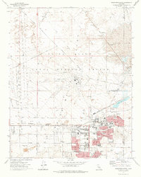 1973 Ridgecrest North1976 Print · USGSRidgecrest and the surrounding high desert are captured in the early seventies, showcasing a period of rapid military and residential growth. Genealogists and local historians can trace family locations near Burroughs High Sch or examine the NAF China Lake (Armitage Field) facility.
 - 1993 Map of Ridgecrest
 1993 Ridgecrest1993 Print · USGSThe northern Mojave Desert comes into focus in the 1990s as a complex landscape of military research and industrial salt harvesting. Researchers can trace the extensive Trona Railway and Southern Pacific lines through desert outposts like Inyokern and Little Lake.2 unique versions available
 - 2012 Map of Ridgecrest North, 2012 Print
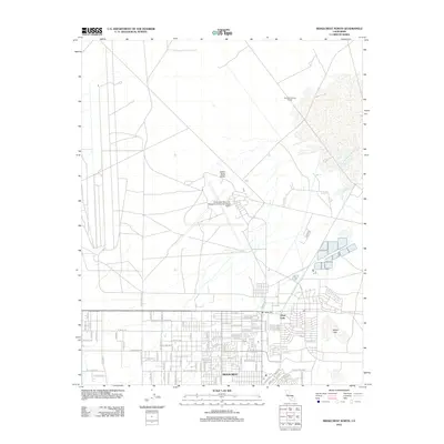 2012 Ridgecrest North2012 Print · USGSRidgecrest and the surrounding Indian Wells Valley are captured during the early twenty-first century, defined by a massive naval presence. Trace the local grid from Ridgecrest up to the North Gate and the Mirror Lake basin.
 - 2015 Map of Ridgecrest North, 2015 Print
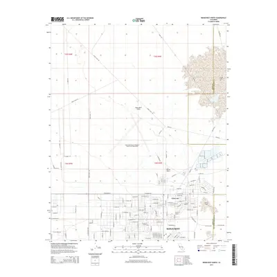 2015 Ridgecrest North2015 Print · USGSRidgecrest and the surrounding Mojave Desert are captured here during the mid-2010s, showing the significant footprint of the local naval facility. Researchers can trace military-industrial history through the Armitage Field complex and street names like Nimitz Ave.
 - 2018 Map of Ridgecrest North, 2018 Print
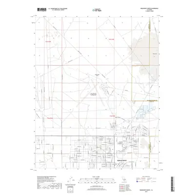 2018 Ridgecrest North2018 Print · USGSRidgecrest and the northern reaches of the Mojave Desert are documented here in the late 2010s. Researchers can trace the military influence on local development through the China Lake Naval Air Weapons Station (Armitage Field) and streets like Nimitz Ave and Inyokern Rd.
 - 2021 Map of Ridgecrest North, 2021 Print
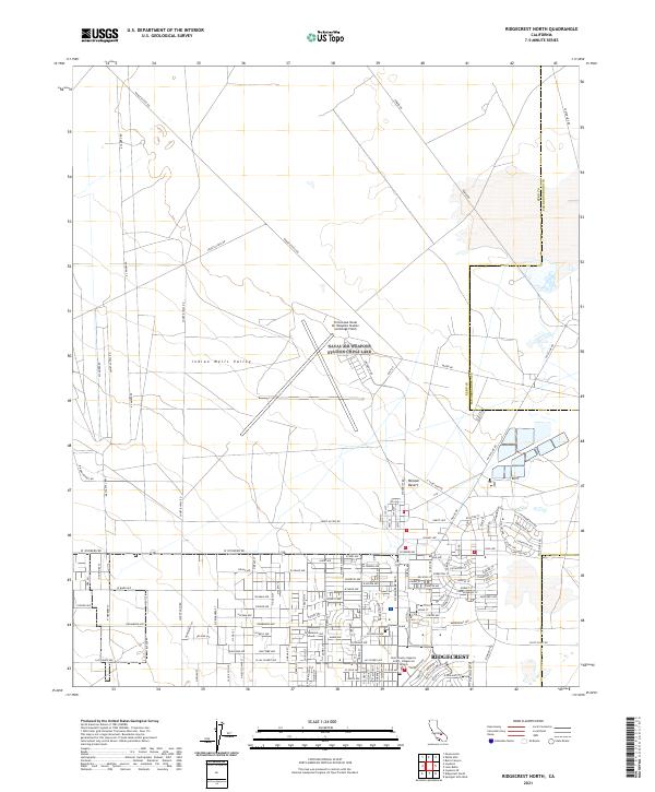 2021 Ridgecrest North2021 Print · USGSThe northern reaches of the Indian Wells Valley are captured here in the early 2020s, where desert military installations meet growing residential grids. Trace the perimeter of the China Lake Naval Air Weapons Station and the suburban streets of Ridgecrest along Las Flores Ave.
End of results
Showing maps 1-13 of 13
Top cities near China Lake
Frequently asked questions
- What are the different types of historical maps available for China Lake?
- What is the oldest map of China Lake?
- Where can I purchase historical maps of China Lake for my home or office?
- Where can I download high-res historical maps of China Lake?
- Are there historical topographic maps available for China Lake?
- Is there historical aerial imagery available for China Lake?
- Where are historical maps of China Lake sourced from?