Old Maps of Taft, California for Metal Detecting
Plan your next treasure hunt with 23 historic maps of Taft. Find old homesites, ghost towns, trails, and gathering spots that may be lost to time — perfect for identifying promising metal detecting locations.
- Locate forgotten sites: Uncover places like long-lost settlements, abandoned rail lines, or gathering spots.
- Plan better hunts: Use map overlays combined with LiDAR or satellite views to narrow in on historically rich areas.
- Made for detectorists: Thousands of hobbyists use these maps to discover relics, coins, and hidden history.
Use these historic maps to boost your research and find new opportunities beneath the surface of Taft.
Taft, CA maps
(23)- 1910 Map of Buena Vista Lake, 1912 Print
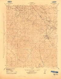
 1910 Buena Vista Lake1912 Print · USGSThe southern San Joaquin Valley comes to life in the years before the great lakes were drained for agriculture. Genealogists and historians can trace early rail stops like Bowerbank and Hazelton or locate rural landmarks such as the Palm School and Moron Taft P O.
 - 1912 Map of Buena Vista Lake, 1921 Print
 1912 Buena Vista Lake1921 Print · USGSThe San Joaquin Valley at the height of its irrigation and oil boom is captured here, from the streets of Bakersfield to the shores of Buena Vista Lake. Genealogists and local historians can trace early schools like Old River School and the rail stops of the Sunset RR.4 unique versions available
 - 1943 Map of Maricopa
 1943 Maricopa1943 Print · USGSMaricopa and the surrounding oil fields come into sharp focus during the wartime production boom of the 1940s. Genealogists and industrial historians can trace the foundations of company towns like Spellacy and infrastructure such as the Sunset Railway or the Norwalk Oil Co Refinery.
 - 1948 Map of Bakersfield
 1948 Bakersfield1948 Print · USGSBakersfield and the southern San Joaquin Valley appear in the late 1940s, showing a landscape of burgeoning oil towns, rail junctions, and early irrigation canals. Genealogists and historians can trace the foundations of local industry through Gardner Field, the Sunset Railway, and the shores of Buena Vista Lake.2 unique versions available
 - 1950 Map of Taft, 1960 Print
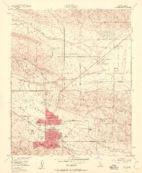 1950 Taft1960 Print · USGSThe Kern County oil patch is at its mid-century peak here, defined by the federal petroleum reserves and company housing. Researchers can trace the layout of specific company camps like Standard Oil Camp 11-C and the Southern Calif Gas Camp.5 unique versions available
 - 1950 Map of Maricopa, 1965 Print
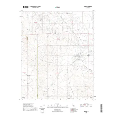
 1950 Maricopa1965 Print · USGSMaricopa and the southern San Joaquin Valley are captured here during the 1950s oil boom. Researchers can trace the industrial footprint of Oil Wells and the Norwalk Oil Refinery alongside small settlements like Spellacy and Hazelton.2 unique versions available
 - 1951 Map of Taft
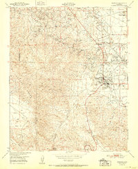
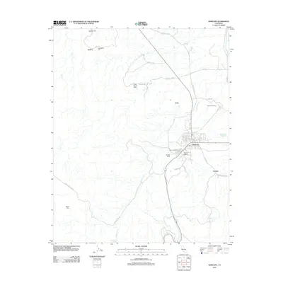
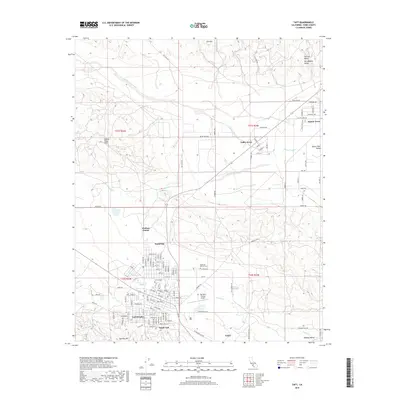
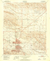 1951 Taft1951 Print · USGSCentral California's oil fields are shown in peak production during the early fifties, centering on the city of Taft. Researchers can trace company-founded settlements like Honolulu Oil Main Camp, the Standard Oil Tank Farm, and Dustin Acres.
 - 1951 Map of Maricopa
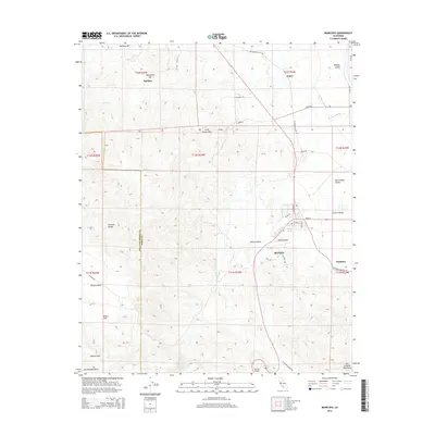
 1951 Maricopa1951 Print · USGSThe oil-rich landscape of southern Kern County is captured here in the early 1950s, showing the height of local petroleum production. Researchers can trace the industrial footprint of the Norwalk Oil Refinery and find old settlements like Spellacy and Hazelton.
 - 1955 Map of Bakersfield
 1955 Bakersfield1955 Print · USGSThe southern San Joaquin Valley in the mid-fifties shows an era of massive oil production and industrial irrigation. Trace family roots in Allensworth, the oil fields of Oildale, or the shorelines of Tulare Lake and Buena Vista Lake.
 - 1956 Map of Bakersfield
 1956 Bakersfield1956 Print · USGSThe southern San Joaquin Valley and High Sierra come alive in the mid-fifties, showing the region's complex agricultural and rail networks. Genealogists and historians can trace family roots in towns like Bakersfield, Taft, and Delano, or locate early infrastructure along the Sunset Railway.
 - 1960 Map of Bakersfield
 1960 Bakersfield1960 Print · USGSThe Southern San Joaquin Valley at mid-century reveals a complex landscape of petroleum development and massive irrigation projects. Researchers can trace the rail lines of the Southern Pacific, explore oil-era landmarks like Oil City, and locate early settlements including Allensworth and Pixley.2 unique versions available
 - 1962 Map of Bakersfield, 1969 Print
 1962 Bakersfield1969 Print · USGSThe Southern San Joaquin Valley is shown in the 1960s as a bustling intersection of petroleum production, irrigation agriculture, and mountain recreation. Researchers can trace the rail lines of the Southern Pacific through the valley or locate early desert developments like California City and Tehachapi.4 unique versions available
 - 1966 Map of Bakersfield
 1966 Bakersfield1966 Print · USGSThe southern San Joaquin Valley in the mid-sixties reveals a massive industrial and agricultural landscape shaped by water and oil. Genealogists and historians can trace the growth of Bakersfield and Oildale, or locate remote airfields like Minter Field and Mojave-Kern County No. 7 Airport.
 - 1976 Map of Maricopa, 1980 Print
 1976 Maricopa1980 Print · USGSMaricopa and the foothills of the western San Joaquin Valley are captured in this mid-seventies orthophoto survey. Researchers can trace the exact footprint of the town and analyze its proximity to landforms like Signal Hill and the winding Devils Gulch.
 - 1981 Map of Taft, 1982 Print
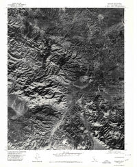
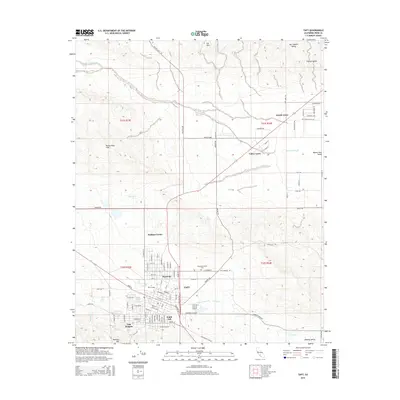
 1981 Taft1982 Print · USGSKern County's oil country and the high desert of the San Luis Obispo border come into focus during the early eighties. Researchers can trace the industrial landscape of Naval Petroleum Reserve No 1 alongside settlements like Taft, McKittrick, and the San Andreas Rift Zone.2 unique versions available
 - 2012 Map of Taft, 2012 Print
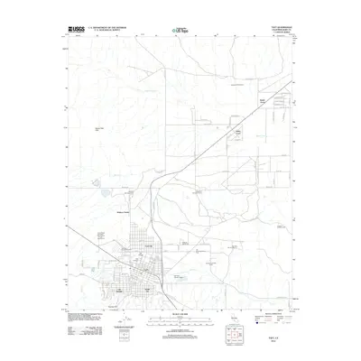 2012 Taft2012 Print · USGSCovers Taft, including Ford City, Valley Acres, and other nearby areas
 - 2012 Map of Maricopa, 2012 Print
 2012 Maricopa2012 Print · USGSCovers Taft, including Maricopa, Hazelton, and other nearby areas
 - 2015 Map of Taft, 2015 Print
 2015 Taft2015 Print · USGSCovers Taft, including Ford City, Valley Acres, and other nearby areas
 - 2015 Map of Maricopa, 2015 Print
 2015 Maricopa2015 Print · USGSCovers Taft, including Maricopa, Hazelton, and other nearby areas
 - 2018 Map of Maricopa, 2018 Print
 2018 Maricopa2018 Print · USGSCovers Taft, including Maricopa, Hazelton, and other nearby areas
 - 2018 Map of Taft, 2018 Print
 2018 Taft2018 Print · USGSCovers Taft, including Ford City, Valley Acres, and other nearby areas
 - 2021 Map of Taft, 2021 Print
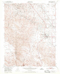
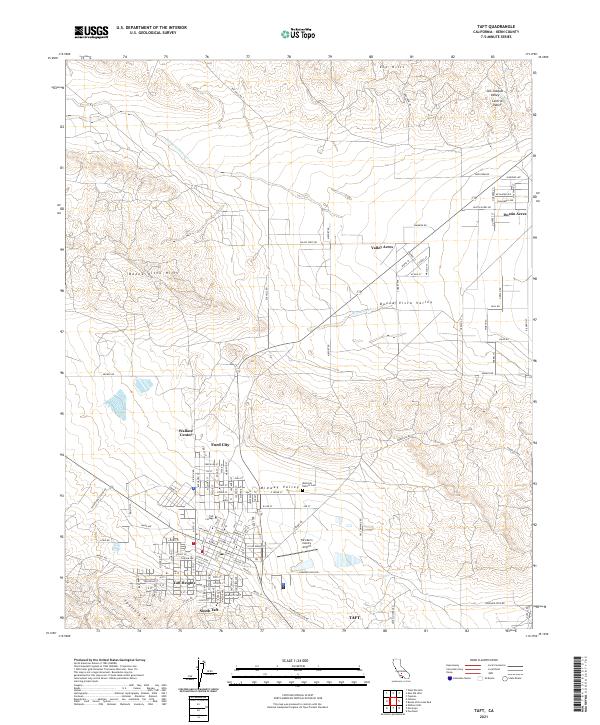 2021 Taft2021 Print · USGSThe oil-rich landscapes of Kern County are documented here in the early twenty-first century, showing the established communities surrounding Taft. Genealogists and historians can locate specific sites like the Westside District Cem, Taft College, and neighborhoods in Ford City.
 - 2021 Map of Maricopa, 2021 Print
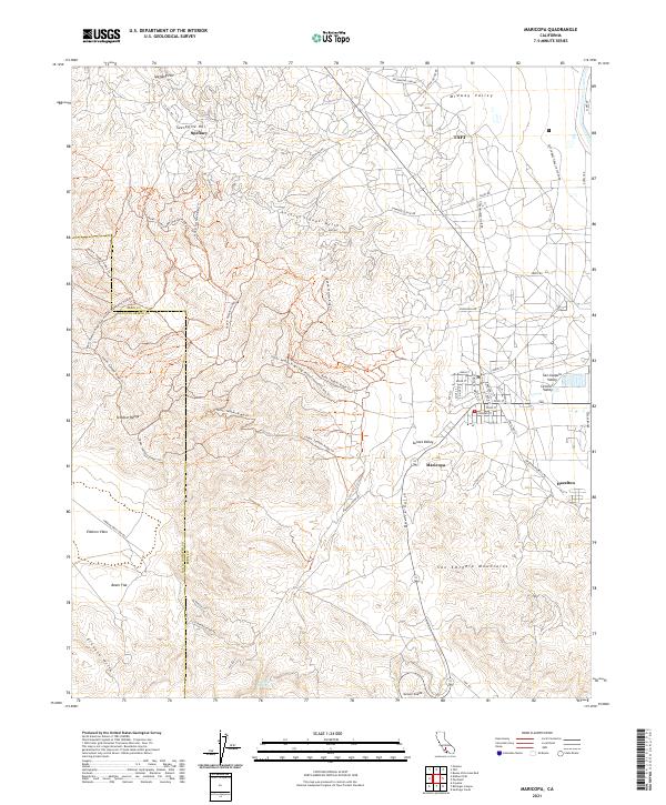 2021 Maricopa2021 Print · USGSMaricopa and the southern San Joaquin Valley are shown here in the early 2020s, highlighting the area's transition from industrial oil fields to mountain ridges. Researchers can locate the Taft Correctional Institution and trace historic routes like Petroleum Club Rd through the Temblor Range.
End of results
Showing maps 1-23 of 23
Top cities near Taft
Top neighborhoods of Taft
Frequently asked questions
- What are the different types of historical maps available for Taft?
- What is the oldest map of Taft?
- Where can I purchase historical maps of Taft for my home or office?
- Where can I download high-res historical maps of Taft?
- Are there historical topographic maps available for Taft?
- Is there historical aerial imagery available for Taft?
- Where are historical maps of Taft sourced from?