Old Maps of West Camp, California for Academic Research
Study the evolution of West Camp with 16 high-resolution historic maps. Whether you're teaching, researching, or modeling changes in land use, these maps provide essential visual documentation of urban, environmental, and geographic change.
- Analyze long-term change: Track patterns in development, transportation, and natural features.
- Ideal for environmental or urban studies: Support academic projects with primary historical map data.
- Use in the classroom or lab: Educators and researchers rely on these maps to bring historical context to life.
These maps are a powerful tool for teaching, research, and visualizing how West Camp has changed over the decades.
West Camp, CA maps
(16)- 1914 Map of Lost Hills
 1914 Lost Hills1914 Print · USGSThe western San Joaquin Valley appears here as an arid ranching frontier during the early years of oil exploration. Researchers can trace historic travel routes like the Dudley-Lemoore Road and locate isolated landmarks such as McDonalds Ranch, Emigrant Hill, and Alamo Solo Spr.4 unique versions available
 - 1932 Map of West Camp
 1932 West Camp1932 Print · USGSThe borderlands of Kings and Kern Counties are captured here in the early thirties, showing the region before modern expansion. Genealogists and researchers can trace the early footprint of West Camp and locate water sources like Lone Tree Well and Mirage.
 - 1935 Map of West Camp
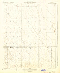 1935 West Camp1935 Print · USGSThe arid borderlands of the San Joaquin Valley appear in the mid-1930s as a landscape defined by isolation and essential water sources. Genealogists and local researchers can trace the footprint of West Camp and locate scattered landmarks like Lone Tree Well and Antelope Plain.2 unique versions available
 - 1943 Map of La Rambla
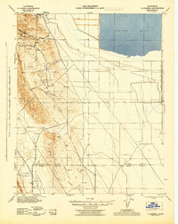 1943 La Rambla1943 Print · USGSThe southern Central Valley meets the oil-rich heights of the Kettleman Hills in the early 1940s. Genealogists and historians can trace the early industrial footprint of oil wells near Devils Den and explore the historic shoreline of Tulare Lake.
 - 1948 Map of Bakersfield
 1948 Bakersfield1948 Print · USGSBakersfield and the southern San Joaquin Valley appear in the late 1940s, showing a landscape of burgeoning oil towns, rail junctions, and early irrigation canals. Genealogists and historians can trace the foundations of local industry through Gardner Field, the Sunset Railway, and the shores of Buena Vista Lake.2 unique versions available
 - 1954 Map of West Camp, 1956 Print
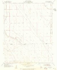 1954 West Camp1956 Print · USGSThe arid borderlands of Kings and Kern counties come into focus during the mid-fifties as the local oil and water infrastructure expands. Researchers can trace the development of West Camp and Espy, along with industrial markers like an Oil Well and a prominent Sand Ridge.3 unique versions available
 - 1955 Map of Bakersfield
 1955 Bakersfield1955 Print · USGSThe southern San Joaquin Valley in the mid-fifties shows an era of massive oil production and industrial irrigation. Trace family roots in Allensworth, the oil fields of Oildale, or the shorelines of Tulare Lake and Buena Vista Lake.
 - 1956 Map of Bakersfield
 1956 Bakersfield1956 Print · USGSThe southern San Joaquin Valley and High Sierra come alive in the mid-fifties, showing the region's complex agricultural and rail networks. Genealogists and historians can trace family roots in towns like Bakersfield, Taft, and Delano, or locate early infrastructure along the Sunset Railway.
 - 1960 Map of Bakersfield
 1960 Bakersfield1960 Print · USGSThe Southern San Joaquin Valley at mid-century reveals a complex landscape of petroleum development and massive irrigation projects. Researchers can trace the rail lines of the Southern Pacific, explore oil-era landmarks like Oil City, and locate early settlements including Allensworth and Pixley.2 unique versions available
 - 1962 Map of Bakersfield, 1969 Print
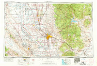 1962 Bakersfield1969 Print · USGSThe Southern San Joaquin Valley is shown in the 1960s as a bustling intersection of petroleum production, irrigation agriculture, and mountain recreation. Researchers can trace the rail lines of the Southern Pacific through the valley or locate early desert developments like California City and Tehachapi.4 unique versions available
 - 1966 Map of Bakersfield
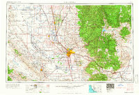 1966 Bakersfield1966 Print · USGSThe southern San Joaquin Valley in the mid-sixties reveals a massive industrial and agricultural landscape shaped by water and oil. Genealogists and historians can trace the growth of Bakersfield and Oildale, or locate remote airfields like Minter Field and Mojave-Kern County No. 7 Airport.
 - 1993 Map of Delano
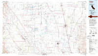 1993 Delano1993 Print · USGSThe San Joaquin Valley's industrial and agricultural heartland is captured here in the early nineties, showing a landscape shaped by petroleum and irrigation. Genealogists and historians can trace settlements from McFarland to Alpaugh, alongside the Colonel Allensworth State Historic Park and the sprawling Trico Gas Field.2 unique versions available
 - 2012 Map of West Camp, 2012 Print
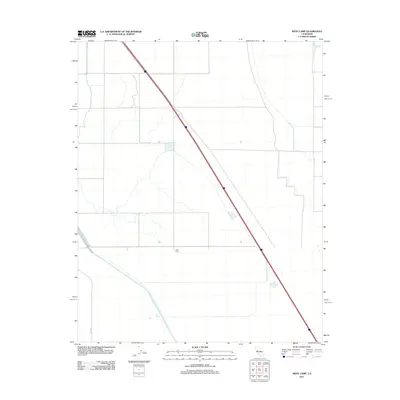 2012 West Camp2012 Print · USGSThe agricultural landscape of Kern County in the early 2010s is defined by industrial-scale water management. Researchers can trace the path of the Governor Edmund G Brown California Aqueduct near the settlement of West Camp.
 - 2015 Map of West Camp, 2015 Print
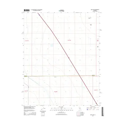 2015 West Camp2015 Print · USGSThe San Joaquin Valley's agricultural heartland is documented here in the mid-2010s, bisected by the massive California Aqueduct. Researchers can locate the settlement of West Camp on the county line and trace the natural rise of Sand Ridge amidst the grid of King Rd.
 - 2018 Map of West Camp, 2018 Print
 2018 West Camp2018 Print · USGSThe southern San Joaquin Valley is shown in the late twenty-teens at the border of Kings and Kern Counties. Researchers can trace the massive California Aqueduct as it passes near West Camp and the distinctive Sand Ridge.
 - 2021 Map of West Camp, 2021 Print
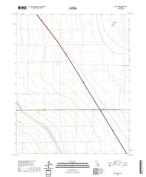 2021 West Camp2021 Print · USGSAgricultural sections and massive water infrastructure define this portion of the San Joaquin Valley in the early 2020s. Researchers can trace the path of the Governor Edmund G Brown California Aqueduct and the elevation of Sand Ridge along the county line.
End of results
Showing maps 1-16 of 16
Top cities near West Camp
Frequently asked questions
- What are the different types of historical maps available for West Camp?
- What is the oldest map of West Camp?
- Where can I purchase historical maps of West Camp for my home or office?
- Where can I download high-res historical maps of West Camp?
- Are there historical topographic maps available for West Camp?
- Is there historical aerial imagery available for West Camp?
- Where are historical maps of West Camp sourced from?