Old Maps of Avalon, California
Explore 15 old maps of Avalon, spanning from 1943 to today. These high-resolution historic maps reveal how streets, neighborhoods, landmarks, and natural features evolved over time — perfect for genealogy, metal detecting, research, and local history exploration.
What you can do with these maps:
- See how Avalon changed over time: Compare historical maps to modern-day views to trace roads, homesites, rail lines & more.
- View detailed metadata: Each map includes creators, publishers, year, scale, and archive source.
- Overlay maps with satellite & LiDAR: Visualize the past alongside modern tools to explore terrain & human change.
- Trusted historical sources: Maps sourced from the USGS, Library of Congress, and other archives.
- Access maps your way: View online, download high-res files, or order prints for personal or research use.
Start exploring old maps of Avalon to uncover forgotten places, hidden landmarks, and the deep history beneath your feet.
Avalon, CA maps
(15)- 1943 Map of Santa Catalina East, 1956 Print
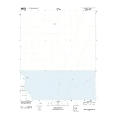
 1943 Santa Catalina East1956 Print · USGSSanta Catalina Island's eastern interior and coastline are captured here during the mid-1940s, revealing a landscape of remote youth camps and early island infrastructure. Genealogists and historians can trace the footprint of Avalon, find the Renton Mine, or locate historic sites like Camp Toyon and Patricks Shelter.4 unique versions available
 - 1949 Map of Long Beach
 1949 Long Beach1949 Print · USGSSouthern California at the start of the post-war boom shows the rapid development of the Los Angeles basin and the South Bay. Genealogists and historians can trace the evolution of early suburbs like Gardena and Lynwood or the coastal defenses at Ft MacArthur Lower Reservation.2 unique versions available
 - 1950 Map of Santa Catalina East
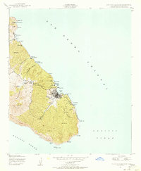
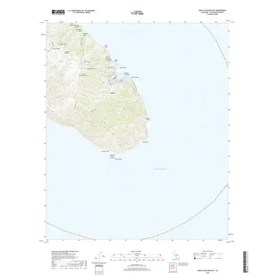
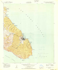 1950 Santa Catalina East1950 Print · USGSSanta Catalina Island during the mid-twentieth century reveals a landscape of isolated camps and a growing harbor town. Trace the development of Avalon near landmarks like Casino Point, or locate more remote sites like the Renton Mine and Toyon.
 - 1957 Map of Long Beach
 1957 Long Beach1957 Print · USGSThe Los Angeles coast and the Channel Islands appear here during the mid-fifties era of rapid suburbanization and naval expansion. Genealogists and researchers can locate early industrial neighborhoods like South Gate and trace military boundaries at Ft MacArthur Upper Reservation or the remote San Nicolas Island.4 unique versions available
 - 1958 Map of Long Beach
 1958 Long Beach1958 Print · USGSCoastal Southern California is shown during a mid-century period of intense suburbanization and military readiness. Genealogists and historians can trace the growth of Long Beach, identify early neighborhoods in Lakewood Village, or locate the bounds of Ft MacArthur Lower Reservation.
 - 1960 Map of Long Beach
 1960 Long Beach1960 Print · USGSCoastal California at the height of post-war expansion reveals a dense network of suburban growth and maritime industry. Trace the development of the South Bay and inland neighborhoods like Lakewood Village, or explore the topography of Santa Catalina Island and Los Angeles Harbor.2 unique versions available
 - 1981 Map of Santa Catalina Island
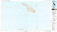 1981 Santa Catalina Island1981 Print · USGSSanta Catalina and San Clemente islands are shown in the early eighties, detailing the rugged interior peaks and isolated coastal coves of Los Angeles County. Trace the geographic layout of Avalon, the air connections at the Landing Field, and military installations at the Naval Ocean Systems Center.2 unique versions available
 - 2012 Map of Santa Catalina East, 2012 Print
 2012 Santa Catalina East2012 Print · USGSCovers Avalon, including Pebbly Beach, Los Angeles County, and other nearby areas
 - 2012 Map of Santa Catalina East OE N, 2012 Print
 2012 Santa Catalina East OE N2012 Print · USGSCovers Avalon, including Los Angeles County, United States, and other nearby areas
 - 2015 Map of Santa Catalina East, 2015 Print
 2015 Santa Catalina East2015 Print · USGSCovers Avalon, including Pebbly Beach, Los Angeles County, and other nearby areas
 - 2015 Map of Santa Catalina East OE N, 2015 Print
 2015 Santa Catalina East OE N2015 Print · USGSCovers Avalon, including Los Angeles County, United States, and other nearby areas
 - 2018 Map of Santa Catalina East, 2018 Print
 2018 Santa Catalina East2018 Print · USGSCovers Avalon, including Pebbly Beach, Los Angeles County, and other nearby areas
 - 2018 Map of Santa Catalina East OE N, 2018 Print
 2018 Santa Catalina East OE N2018 Print · USGSCovers Avalon, including Los Angeles County, United States, and other nearby areas
 - 2021 Map of Santa Catalina East OE N, 2021 Print
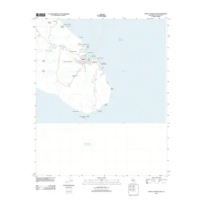
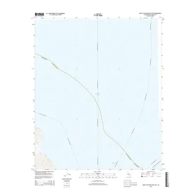
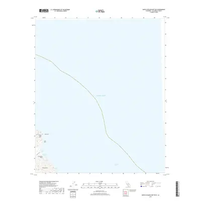
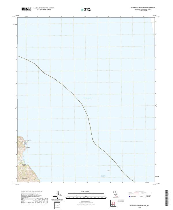 2021 Santa Catalina East OE N2021 Print · USGSSanta Catalina's northeastern coast and the approach to its primary settlement are captured in this modern 2021 topographic survey. Trace the rugged shoreline from Whitleys Peak down to maritime landmarks like Hen Rock, Moonstone Beach, and Avalon.
 - 2022 Map of Santa Catalina East, 2022 Print
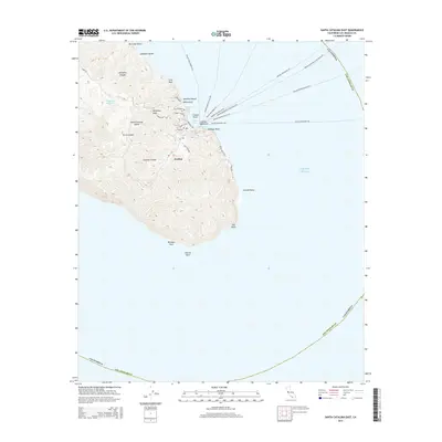
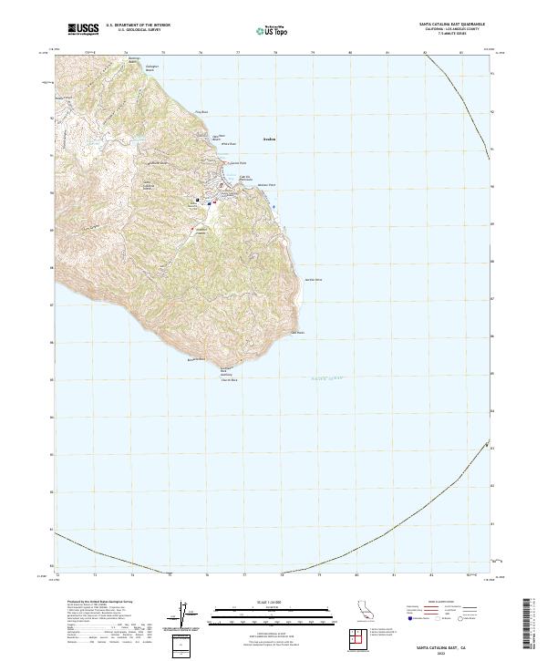 2022 Santa Catalina East2022 Print · USGSSanta Catalina Island's eastern shore is centered on the harbor at Avalon during the early 2020s. Researchers can trace the town’s layout from Lovers Cove to the Avalon Memorial Cem and inland toward Wrigley Reservoir.
End of results
Showing maps 1-15 of 15
Top cities near Avalon
Top neighborhoods of Avalon
Frequently asked questions
- What are the different types of historical maps available for Avalon?
- What is the oldest map of Avalon?
- Where can I purchase historical maps of Avalon for my home or office?
- Where can I download high-res historical maps of Avalon?
- Are there historical topographic maps available for Avalon?
- Is there historical aerial imagery available for Avalon?
- Where are historical maps of Avalon sourced from?