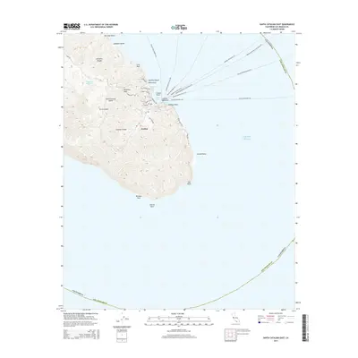
2015 Map of Santa Catalina East
USGS Topo · Published 2015About this map
Avalon serves as the focal point for this eastern section of Santa Catalina Island, where the town's dense network of streets like Marilla Ave and Crescent Ave meet the waters of Avalon Bay. The landscape is defined by its maritime connections, illustrated by numerous ferry routes extending across the Pacific Ocean toward various mainland ports. To the north, the terrain transitions into the steep ravines of Gallagher Canyon and the coastal features of Hamilton Beach and Frog Rock.
Find a feature on this map
42 named features on this map. Tap any name to fly to it.
Don’t see what you’re looking for? This feature index may not catch every label — zoom into the map to look around manually.
Map Details
Editions of this 2015 Santa Catalina East Map
This is the sole edition of this map. No revisions or reprints were ever made.
Other maps of this area

1943 · Santa Catalina North
USGS Topo · 1:24,000

1943 · Santa Catalina East
USGS Topo · 1:24,000

1943 · Santa Catalina South
USGS Topo · 1:24,000

1949 · Long Beach
USGS Topo · 1:250,000
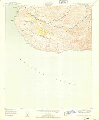
1950 · Santa Catalina South
USGS Topo · 1:24,000
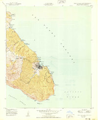
1950 · Santa Catalina East
USGS Topo · 1:24,000
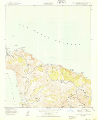
1950 · Santa Catalina North
USGS Topo · 1:24,000

1957 · Long Beach
USGS Topo · 1:250,000

1958 · Long Beach
USGS Topo · 1:250,000

1960 · Long Beach
USGS Topo · 1:250,000