
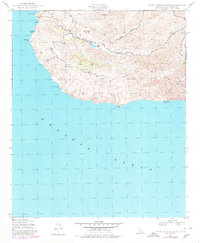
1943 Map of Santa Catalina South
USGS Topo · Published 1956About this map
Middle Ranch sits at the heart of this coastal landscape, serving as a rare point of habitation in the interior during the early 1940s. The terrain is defined by steep drainages, most notably Middle Canyon and Cape Canyon, which carve through the high ridges toward the southern shoreline. Infrastructure is sparse, anchored by Thompson Dam and a network of unimproved roads that navigate the rugged elevations between Mt Banning and Cactus Peak.
Find a feature on this map
16 named features on this map. Tap any name to fly to it.
Don’t see what you’re looking for? This feature index may not catch every label — zoom into the map to look around manually.
Map Details
Editions of this 1943 Santa Catalina South Map
2 editions found
Other maps of this area

1943 · Santa Catalina North
USGS Topo · 1:24,000

1943 · Santa Catalina East
USGS Topo · 1:24,000
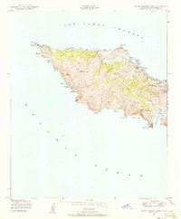
1943 · Santa Catalina West
USGS Topo · 1:24,000

1949 · Long Beach
USGS Topo · 1:250,000
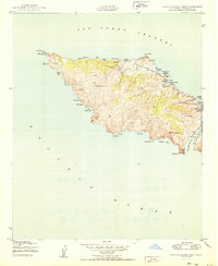
1950 · Santa Catalina West
USGS Topo · 1:24,000
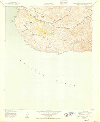
1950 · Santa Catalina South
USGS Topo · 1:24,000
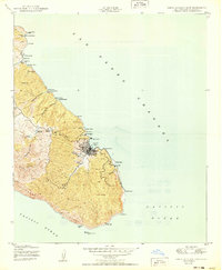
1950 · Santa Catalina East
USGS Topo · 1:24,000
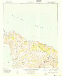
1950 · Santa Catalina North
USGS Topo · 1:24,000

1957 · Long Beach
USGS Topo · 1:250,000

1958 · Long Beach
USGS Topo · 1:250,000