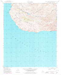
1943 Map of Santa Catalina South
USGS Topo · Published 1980About this map
Middle Ranch and the nearby Eagles Nest anchor the interior of the southern half of Santa Catalina Island in this 1943 survey. The landscape is defined by the steep drainage of Silver Canyon and the prominent heights of Mt Banning and Cactus Peak. Water management is central to the island's mid-century pastoral operations, evidenced by Thompson Dam which captures runoff within the canyon systems. Along the shoreline, isolated coastal points like China Point and Salta Verde Point frame the rugged interface with the Pacific Ocean. The presence of Quartz indicates local geological interests or mining prospects that once drew attention to these hills. For those studying the evolution of the island's interior, this document provides the exact positioning of ranching infrastructure and coastal access points like Mills Landing and Silver Canyon Landing as they existed during the war years.
Find a feature on this map
17 named features on this map. Tap any name to fly to it.
Don’t see what you’re looking for? This feature index may not catch every label — zoom into the map to look around manually.
Map Details
Editions of this 1943 Santa Catalina South Map
2 editions found
Other maps of this area

1943 · Santa Catalina North
USGS Topo · 1:24,000

1943 · Santa Catalina East
USGS Topo · 1:24,000

1943 · Santa Catalina South
USGS Topo · 1:24,000
1943 · Santa Catalina West
USGS Topo · 1:24,000

1949 · Long Beach
USGS Topo · 1:250,000
1950 · Santa Catalina West
USGS Topo · 1:24,000
1950 · Santa Catalina South
USGS Topo · 1:24,000
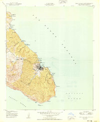
1950 · Santa Catalina East
USGS Topo · 1:24,000
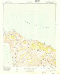
1950 · Santa Catalina North
USGS Topo · 1:24,000

1957 · Long Beach
USGS Topo · 1:250,000