2000s (21st Century) Maps of Studio City Neighborhood Council District, Los Angeles
Explore 16 historic maps of Studio City Neighborhood Council District from the 2000s (21st Century). These maps offer a rare glimpse into what life looked like during the 2000s — showing old roads, neighborhoods, homes, and landmarks that have changed or disappeared over time.
Whether you're researching your family's past, planning a metal detecting trip, or studying how Studio City Neighborhood Council District's landscape evolved across the 2000s, these high-resolution maps are a powerful tool for exploring the history of this region.
- Focus on a specific era: All maps on this page are from the 2000s, giving you a focused view of this time period.
- See what’s changed: Compare century-old streets, trails, and buildings to today's modern landscape using overlays and satellite layers.
- Research with precision: Use these maps for genealogy, historical research, land use analysis, or educational projects.
- View, download, or print: Maps are fully viewable online in high resolution, and can be downloaded or printed for your own records.
Start exploring Studio City Neighborhood Council District's history through authentic maps from the 2000s. This is your window into the past.
Studio City Neighborhood Council District, Los Angeles maps
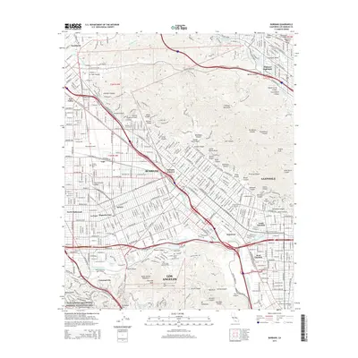
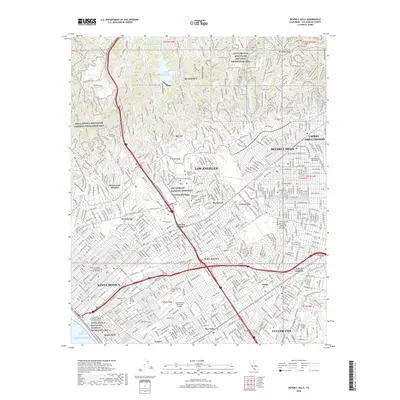
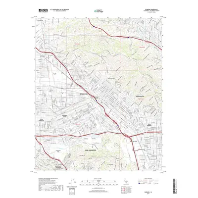
(16)- 2012 Map of Burbank, 2012 Print
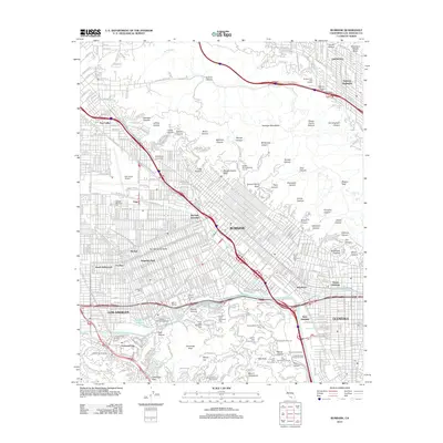 2012 Burbank2012 Print · USGSCovers Studio City Neighborhood Council District, including Los Angeles, Glendale, and other nearby areas
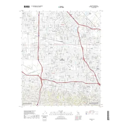
 - 2012 Map of Hollywood, 2012 Print
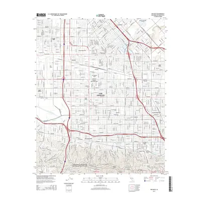
 2012 Hollywood2012 Print · USGSCovers Studio City Neighborhood Council District, including Los Angeles, Glendale, and other nearby areas
 - 2012 Map of Beverly Hills, 2012 Print
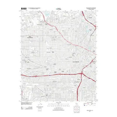
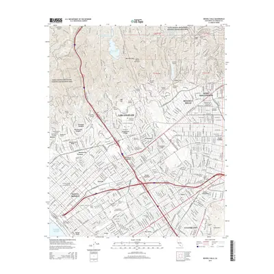
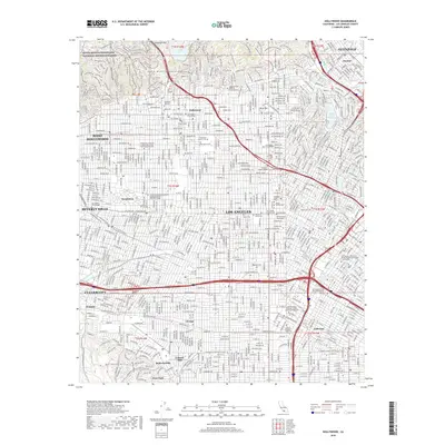
 2012 Beverly Hills2012 Print · USGSCovers Studio City Neighborhood Council District, including Los Angeles, Santa Monica, and other nearby areas
 - 2012 Map of Van Nuys, 2012 Print
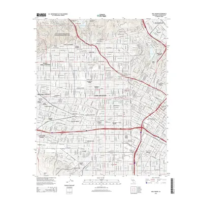
 2012 Van Nuys2012 Print · USGSCovers Studio City Neighborhood Council District, including Los Angeles, Los Angeles County, and other nearby areas
 - 2015 Map of Burbank, 2015 Print
 2015 Burbank2015 Print · USGSCovers Studio City Neighborhood Council District, including Los Angeles, Glendale, and other nearby areas
 - 2015 Map of Beverly Hills, 2015 Print
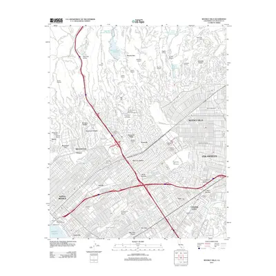
 2015 Beverly Hills2015 Print · USGSCovers Studio City Neighborhood Council District, including Los Angeles, Santa Monica, and other nearby areas
 - 2015 Map of Van Nuys, 2015 Print
 2015 Van Nuys2015 Print · USGSCovers Studio City Neighborhood Council District, including Los Angeles, Los Angeles County, and other nearby areas
 - 2015 Map of Hollywood, 2015 Print
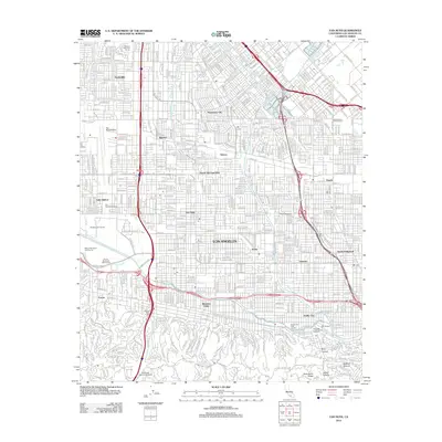
 2015 Hollywood2015 Print · USGSCovers Studio City Neighborhood Council District, including Los Angeles, Glendale, and other nearby areas
 - 2018 Map of Beverly Hills, 2018 Print
 2018 Beverly Hills2018 Print · USGSCovers Studio City Neighborhood Council District, including Los Angeles, Santa Monica, and other nearby areas
 - 2018 Map of Van Nuys, 2018 Print
 2018 Van Nuys2018 Print · USGSCovers Studio City Neighborhood Council District, including Los Angeles, Los Angeles County, and other nearby areas
 - 2018 Map of Burbank, 2018 Print
 2018 Burbank2018 Print · USGSCovers Studio City Neighborhood Council District, including Los Angeles, Glendale, and other nearby areas
 - 2018 Map of Hollywood, 2018 Print
 2018 Hollywood2018 Print · USGSCovers Studio City Neighborhood Council District, including Los Angeles, Glendale, and other nearby areas
 - 2022 Map of Hollywood, 2022 Print
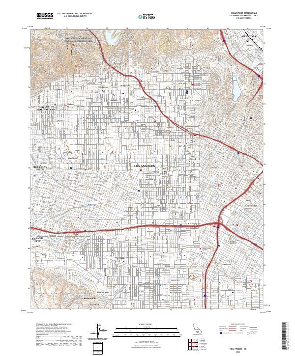 2022 Hollywood2022 Print · USGSLos Angeles and the heart of the entertainment industry appear in high detail during the early 2020s. Researchers can trace the layout of Hollywood, locate the University of Southern California, and find historic grounds like Beth Olam Cem.
 - 2022 Map of Van Nuys, 2022 Print
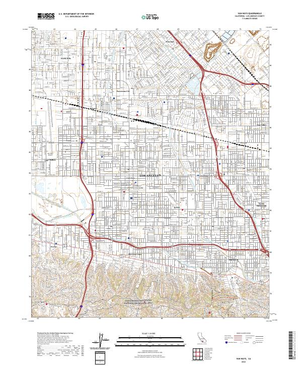 2022 Van Nuys2022 Print · USGSThe heart of the San Fernando Valley is captured here in the early twenty-first century, showing the fully realized suburban grid. Modern researchers can trace the course of the Los Angeles River or locate landmarks like Van Nuys Airport and Los Angeles Valley College.
 - 2022 Map of Beverly Hills, 2022 Print
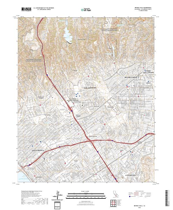 2022 Beverly Hills2022 Print · USGSThe Westside of Los Angeles is shown in contemporary detail, from the heights of the Santa Monica Mountains to the Pacific shore. Researchers can trace institutional footprints like the Univ of California-Los Angeles and local landmarks like Century City or Woodlawn Cem.
 - 2022 Map of Burbank, 2022 Print
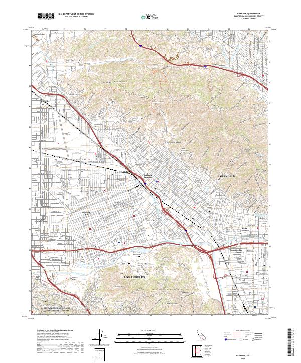 2022 Burbank2022 Print · USGSBurbank and the Verdugo Mountains are mapped in detail during the early 2020s, showing the dense urban transition from the San Fernando Valley into the steep canyons. Researchers can trace historic neighborhoods and landmarks such as Magnolia Park, Universal City, and the Bob Hope Airport.
End of results
Showing maps 1-16 of 16
Frequently asked questions
- What are the different types of historical maps available for Studio City Neighborhood Council District?
- What is the oldest map of Studio City Neighborhood Council District?
- Where can I purchase historical maps of Studio City Neighborhood Council District for my home or office?
- Where can I download high-res historical maps of Studio City Neighborhood Council District?
- Are there historical topographic maps available for Studio City Neighborhood Council District?
- Is there historical aerial imagery available for Studio City Neighborhood Council District?
- Where are historical maps of Studio City Neighborhood Council District sourced from?